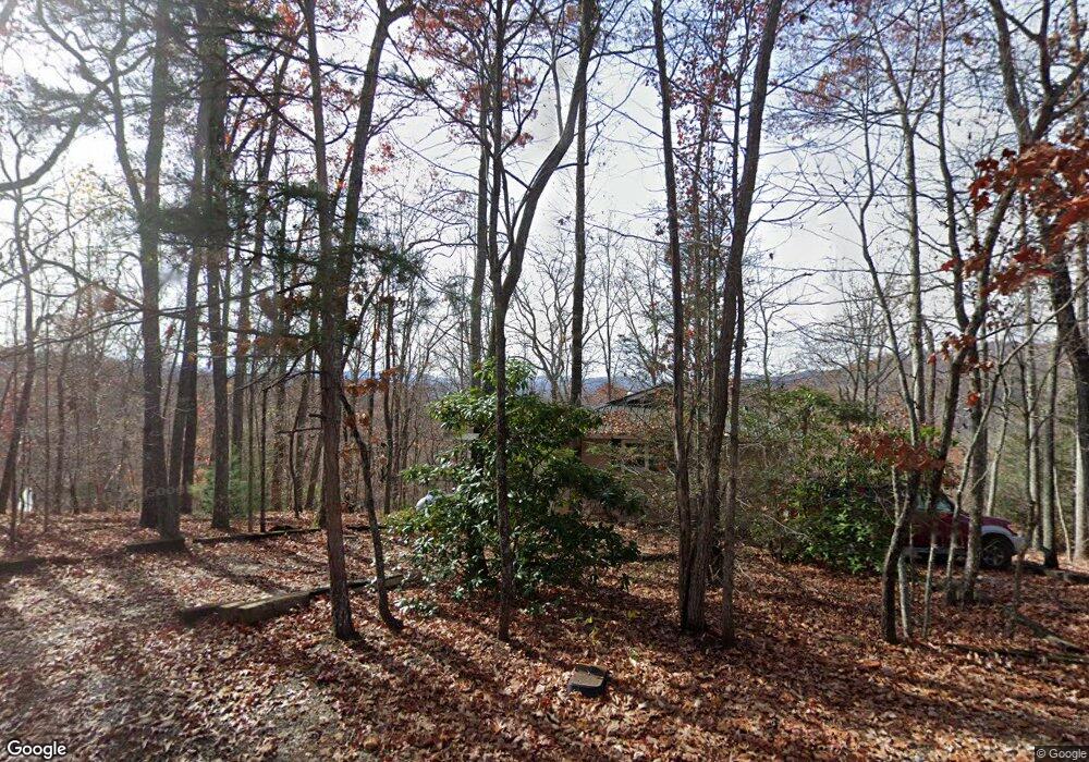
17 Jamie Ct Blairsville, GA 30512
Estimated Value: $224,476 - $313,000
2
Beds
1
Bath
864
Sq Ft
$312/Sq Ft
Est. Value
About This Home
This home is located at 17 Jamie Ct, Blairsville, GA 30512 and is currently estimated at $269,369, approximately $311 per square foot. 17 Jamie Ct is a home located in Union County with nearby schools including Union County Primary School, Union County Elementary School, and Union County Middle School.
Ownership History
Date
Name
Owned For
Owner Type
Purchase Details
Closed on
Mar 9, 2007
Sold by
Young Frank J and Young Vicki Ly
Bought by
Goldman Samuel J and Goldman Terry L
Current Estimated Value
Home Financials for this Owner
Home Financials are based on the most recent Mortgage that was taken out on this home.
Original Mortgage
$126,022
Outstanding Balance
$76,112
Interest Rate
6.22%
Mortgage Type
FHA
Estimated Equity
$193,257
Purchase Details
Closed on
Nov 19, 1997
Sold by
Young Frank J
Bought by
Young Frank J and Young Vick
Purchase Details
Closed on
Nov 5, 1997
Sold by
Young Frank J and Young Vick
Bought by
Young Frank J
Purchase Details
Closed on
Mar 20, 1997
Sold by
Young Frank J and Young Vick
Bought by
Young Frank J and Young Vick
Purchase Details
Closed on
Jul 20, 1987
Bought by
Young Frank J and Young Vick
Create a Home Valuation Report for This Property
The Home Valuation Report is an in-depth analysis detailing your home's value as well as a comparison with similar homes in the area
Home Values in the Area
Average Home Value in this Area
Purchase History
| Date | Buyer | Sale Price | Title Company |
|---|---|---|---|
| Goldman Samuel J | $128,000 | -- | |
| Young Frank J | -- | -- | |
| Young Frank J | -- | -- | |
| Young Frank J | -- | -- | |
| Young Frank J | $11,500 | -- |
Source: Public Records
Mortgage History
| Date | Status | Borrower | Loan Amount |
|---|---|---|---|
| Open | Goldman Samuel J | $126,022 |
Source: Public Records
Tax History Compared to Growth
Tax History
| Year | Tax Paid | Tax Assessment Tax Assessment Total Assessment is a certain percentage of the fair market value that is determined by local assessors to be the total taxable value of land and additions on the property. | Land | Improvement |
|---|---|---|---|---|
| 2024 | $839 | $71,080 | $12,480 | $58,600 |
| 2023 | $934 | $70,160 | $12,480 | $57,680 |
| 2022 | $789 | $59,240 | $12,480 | $46,760 |
| 2021 | $777 | $49,320 | $12,480 | $36,840 |
| 2020 | $663 | $35,032 | $15,912 | $19,120 |
| 2019 | $627 | $35,032 | $15,912 | $19,120 |
| 2018 | $615 | $35,032 | $15,912 | $19,120 |
| 2017 | $615 | $35,032 | $15,912 | $19,120 |
| 2016 | $616 | $35,032 | $15,912 | $19,120 |
| 2015 | $621 | $35,032 | $15,912 | $19,120 |
| 2013 | -- | $35,032 | $15,912 | $19,120 |
Source: Public Records
Map
Nearby Homes
- 43 Diane St
- 3 A Moss Cove Rd
- 9.36A Hwy 515 Thomas Cir
- L 48C Byron St
- 534 Doc Thomas Ridge Rd
- 94 Butternut Creek Rd
- 303 Butternut Creek Rd
- 64 Town View Cir
- 198 Butternut Ln
- 8 Firefly Ridge Rd
- 34 Travadens Way
- 5.7 ac Butternut Grove Rd
- 1837 Deep South Farm Rd
- na Aj's Holler
- 196 Wildwind Ln
- 315 Dosier Dr
- 1063 Summit Way
- Lot 149 Summit Way
- 43 Little Beasley
- LOT21 Bryant Cove Rd
- 1473 Jamie Ct
- 37 Jamie Ct
- 371 Ross Ridge Rd
- 32 Jamie Ct
- 32 Jamie Ct
- 388 Ross Ridge Rd
- 65 Jamie Ct
- 408 Ross Ridge Rd
- 238 Ross Ridge Rd
- 407 Ross Ridge Rd
- 109 Howard St
- 218 Ross Ridge Rd Unit 27
- 218 Ross Ridge Rd
- 0 Kim St
- 44 Howard St
- 82 Kim St
- 116 Matthew St
- 446 Ross Ridge Rd
- 100 Eller Mountain Rd
- 473 Ross Ridge Rd
