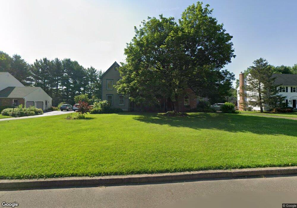
17 John Dyer Way Doylestown, PA 18902
Plumstead NeighborhoodEstimated Value: $887,191 - $1,056,000
4
Beds
3
Baths
3,221
Sq Ft
$298/Sq Ft
Est. Value
About This Home
This home is located at 17 John Dyer Way, Doylestown, PA 18902 and is currently estimated at $958,798, approximately $297 per square foot. 17 John Dyer Way is a home located in Bucks County with nearby schools including Gayman Elementary School, Tohickon Middle School, and Central Bucks High School - East.
Ownership History
Date
Name
Owned For
Owner Type
Purchase Details
Closed on
Apr 15, 2020
Sold by
Vogel Randy B and Cadic Kristin
Bought by
Vogel Randy B and Vogel Kristin M
Current Estimated Value
Home Financials for this Owner
Home Financials are based on the most recent Mortgage that was taken out on this home.
Original Mortgage
$395,000
Outstanding Balance
$347,155
Interest Rate
2.99%
Mortgage Type
New Conventional
Estimated Equity
$611,643
Purchase Details
Closed on
Jan 24, 2006
Sold by
Vogel Randy B and Vogel Deborah A
Bought by
Vogel Randy B and Cadic Kristin
Home Financials for this Owner
Home Financials are based on the most recent Mortgage that was taken out on this home.
Original Mortgage
$350,000
Interest Rate
7.35%
Mortgage Type
Fannie Mae Freddie Mac
Purchase Details
Closed on
Dec 24, 1985
Bought by
Vogel Randy B and Vogel Deborah A
Create a Home Valuation Report for This Property
The Home Valuation Report is an in-depth analysis detailing your home's value as well as a comparison with similar homes in the area
Home Values in the Area
Average Home Value in this Area
Purchase History
| Date | Buyer | Sale Price | Title Company |
|---|---|---|---|
| Vogel Randy B | -- | None Available | |
| Vogel Randy B | $269,686 | Lawyers Title Ins | |
| Vogel Randy B | $38,000 | -- |
Source: Public Records
Mortgage History
| Date | Status | Borrower | Loan Amount |
|---|---|---|---|
| Open | Vogel Randy B | $395,000 | |
| Closed | Vogel Randy B | $350,000 |
Source: Public Records
Tax History Compared to Growth
Tax History
| Year | Tax Paid | Tax Assessment Tax Assessment Total Assessment is a certain percentage of the fair market value that is determined by local assessors to be the total taxable value of land and additions on the property. | Land | Improvement |
|---|---|---|---|---|
| 2025 | $10,495 | $60,400 | $6,120 | $54,280 |
| 2024 | $10,495 | $60,400 | $6,120 | $54,280 |
| 2023 | $10,161 | $60,400 | $6,120 | $54,280 |
| 2022 | $10,048 | $60,400 | $6,120 | $54,280 |
| 2021 | $9,935 | $60,400 | $6,120 | $54,280 |
| 2020 | $9,935 | $60,400 | $6,120 | $54,280 |
| 2019 | $9,875 | $60,400 | $6,120 | $54,280 |
| 2018 | $9,875 | $60,400 | $6,120 | $54,280 |
| 2017 | $9,739 | $60,400 | $6,120 | $54,280 |
| 2016 | $9,739 | $60,400 | $6,120 | $54,280 |
| 2015 | -- | $60,400 | $6,120 | $54,280 |
| 2014 | -- | $60,400 | $6,120 | $54,280 |
Source: Public Records
Map
Nearby Homes
- 4190 Milords Ln
- 4221 Sir Andrew Cir
- 3867 Charter Club Dr
- 4748 Bishop Cir
- 3838 Jacob Stout Rd
- 3765 William Daves Rd
- 4605 Twinbrook Cir
- 3923 Ferry Rd
- 4263 Kleinot Dr
- 4330 Kleinot Dr
- 4317 Kleinot Dr
- 4464 Kleinot Dr
- 4246 Kleinot Dr
- 3723 William Daves Rd
- 4306 Kleinot Dr
- 4298 Kleinot Dr
- 143 Myers Dr
- 3711 Jacob Stout Rd Unit 5
- 114 Blackfriars Cir
- 0 Myers Dr
- 18 John Dyer Way
- 55 John Dyer Way
- 19 John Dyer Way
- 15 John Dyer Way
- 56 John Dyer Way
- 4157 Landisville Rd
- 57 John Dyer Way
- 4137 Landisville Rd
- 4181 Landisville Rd
- 14 John Dyer Way
- 20 John Dyer Way
- 58 John Dyer Way
- 13 John Dyer Way
- 4121 Landisville Rd
- 21 John Dyer Way
- 59 John Dyer Way
- 67 John Dyer Way
- 68 John Dyer Way
- 4193 Landisville Rd
- 66 John Dyer Way