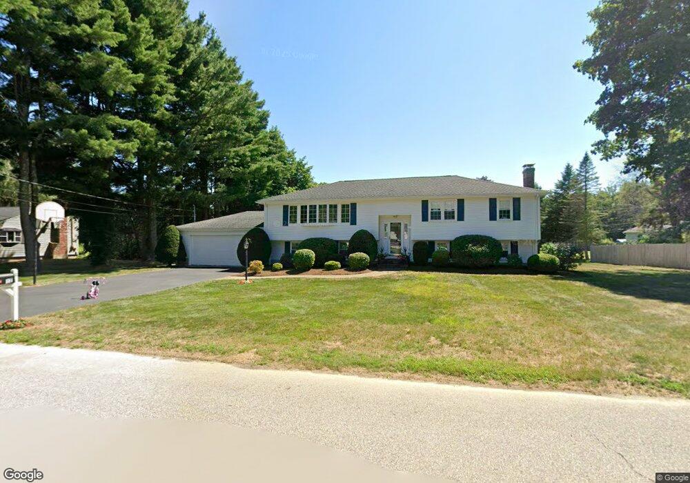
17 Judith Dr North Attleboro, MA 02760
Estimated Value: $573,000 - $647,000
3
Beds
2
Baths
1,288
Sq Ft
$473/Sq Ft
Est. Value
About This Home
This home is located at 17 Judith Dr, North Attleboro, MA 02760 and is currently estimated at $609,686, approximately $473 per square foot. 17 Judith Dr is a home located in Bristol County with nearby schools including North Attleboro High School, Cadence Academy Preschool - North Attleborough, and St John The Evangelist School.
Ownership History
Date
Name
Owned For
Owner Type
Purchase Details
Closed on
Jun 8, 2023
Sold by
Droney Francis C and Droney Carol A
Bought by
Francis & Carol Droney Lt and Droney
Current Estimated Value
Purchase Details
Closed on
Jan 1, 1977
Bought by
Droney Francis C and Droney Carol Ann
Create a Home Valuation Report for This Property
The Home Valuation Report is an in-depth analysis detailing your home's value as well as a comparison with similar homes in the area
Home Values in the Area
Average Home Value in this Area
Purchase History
| Date | Buyer | Sale Price | Title Company |
|---|---|---|---|
| Francis & Carol Droney Lt | -- | None Available | |
| Droney Francis C | -- | -- |
Source: Public Records
Mortgage History
| Date | Status | Borrower | Loan Amount |
|---|---|---|---|
| Previous Owner | Droney Francis C | $54,000 |
Source: Public Records
Tax History Compared to Growth
Tax History
| Year | Tax Paid | Tax Assessment Tax Assessment Total Assessment is a certain percentage of the fair market value that is determined by local assessors to be the total taxable value of land and additions on the property. | Land | Improvement |
|---|---|---|---|---|
| 2025 | $6,539 | $554,600 | $149,000 | $405,600 |
| 2024 | $6,236 | $540,400 | $149,000 | $391,400 |
| 2023 | $6,249 | $488,600 | $149,000 | $339,600 |
| 2022 | $5,968 | $428,400 | $149,000 | $279,400 |
| 2021 | $5,704 | $399,700 | $149,000 | $250,700 |
| 2020 | $5,535 | $385,700 | $149,000 | $236,700 |
| 2019 | $5,343 | $375,200 | $135,500 | $239,700 |
| 2018 | $4,736 | $355,000 | $135,500 | $219,500 |
| 2017 | $4,507 | $340,900 | $135,500 | $205,400 |
| 2016 | $4,215 | $318,800 | $150,400 | $168,400 |
| 2015 | $3,912 | $297,700 | $150,400 | $147,300 |
| 2014 | $3,718 | $280,800 | $132,100 | $148,700 |
Source: Public Records
Map
Nearby Homes
- 255 Mckeon Dr
- 11 Buckthorn Ln
- 115 Westfield Dr
- 196 Donald Tennant Cir
- 21 Shady Ln
- 20 Sperry Ln
- 150 Gilbert St
- 11 Landry Ave
- 57 Vine St
- 451R Gilbert St
- 747 N Main St
- 59 Laurelwood Dr
- Lot 2 Jeffrey Dr
- 678 N Main St
- Lot 5 Jeffrey Dr
- 158 Ivy St
- 71 Richardson Ave
- 10 Hazelwood Ct
- 12 Houde St
- 5 Old Wood Rd
- 14 Armstrong Dr
- 27 Judith Dr
- 107 Lindsey St
- 14 Judith Dr
- 24 Armstrong Dr
- 99 Lindsey St
- 119 Lindsey St
- 28 Judith Dr
- 37 Judith Dr
- 34 Armstrong Dr
- 17 Kimberly Dr
- 27 Kimberly Dr
- 131 Lindsey St
- 38 Judith Dr
- 104 Lindsey St
- 9 Armstrong Dr
- 19 Armstrong Dr
- 3 Anthony e Greco Cir
- 25 Anthony e Greco Cir
- 42 Armstrong Dr