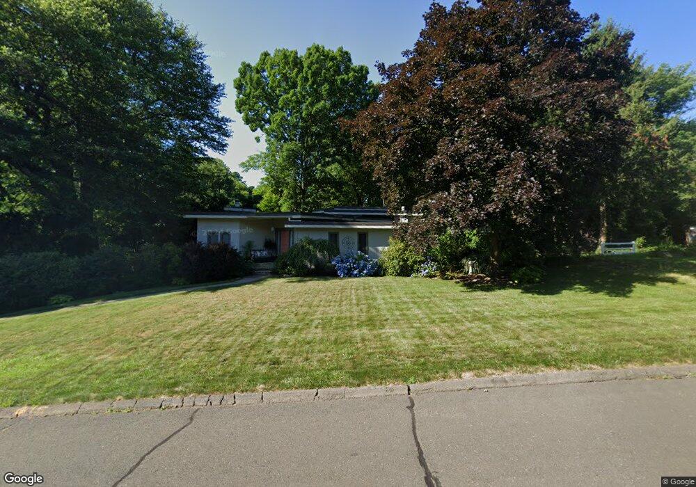
17 Kendrick Ln Windsor, CT 06095
West Windsor NeighborhoodEstimated Value: $387,000 - $491,000
3
Beds
4
Baths
1,700
Sq Ft
$259/Sq Ft
Est. Value
About This Home
This home is located at 17 Kendrick Ln, Windsor, CT 06095 and is currently estimated at $440,610, approximately $259 per square foot. 17 Kendrick Ln is a home located in Hartford County with nearby schools including Oliver Ellsworth School, John F. Kennedy School, and Sage Park Middle School.
Ownership History
Date
Name
Owned For
Owner Type
Purchase Details
Closed on
Jul 16, 2004
Sold by
Charchill Ralph and Churchill Marni
Bought by
Harris Bererly
Current Estimated Value
Purchase Details
Closed on
Feb 16, 1999
Sold by
Karliner Eunice
Bought by
Churchill Ralph and Churchill Marni
Create a Home Valuation Report for This Property
The Home Valuation Report is an in-depth analysis detailing your home's value as well as a comparison with similar homes in the area
Home Values in the Area
Average Home Value in this Area
Purchase History
| Date | Buyer | Sale Price | Title Company |
|---|---|---|---|
| Harris Bererly | $310,000 | -- | |
| Churchill Ralph | $193,000 | -- |
Source: Public Records
Mortgage History
| Date | Status | Borrower | Loan Amount |
|---|---|---|---|
| Closed | Churchill Ralph | $30,000 | |
| Closed | Churchill Ralph | $155,293 | |
| Closed | Churchill Ralph | $50,000 |
Source: Public Records
Tax History Compared to Growth
Tax History
| Year | Tax Paid | Tax Assessment Tax Assessment Total Assessment is a certain percentage of the fair market value that is determined by local assessors to be the total taxable value of land and additions on the property. | Land | Improvement |
|---|---|---|---|---|
| 2025 | $7,175 | $252,210 | $60,480 | $191,730 |
| 2024 | $7,647 | $252,210 | $60,480 | $191,730 |
| 2023 | $5,450 | $162,190 | $47,740 | $114,450 |
| 2022 | $5,396 | $162,190 | $47,740 | $114,450 |
| 2021 | $5,396 | $162,190 | $47,740 | $114,450 |
| 2020 | $5,370 | $162,190 | $47,740 | $114,450 |
| 2019 | $5,252 | $162,190 | $47,740 | $114,450 |
| 2018 | $5,244 | $159,110 | $47,740 | $111,370 |
| 2017 | $5,163 | $159,110 | $47,740 | $111,370 |
| 2016 | $5,015 | $159,110 | $47,740 | $111,370 |
| 2015 | $4,920 | $159,110 | $47,740 | $111,370 |
| 2014 | $4,848 | $159,110 | $47,740 | $111,370 |
Source: Public Records
Map
Nearby Homes
- 1 Deanne Lynn Cir
- 22 Eastview Dr
- 45 Timothy Terrace
- 307 Trapper Cir
- 23 Griswold Dr
- 190 Prospect Hill Rd
- 9 Milo Peck Ln
- 9 Alford Dr
- 1999 Poquonock Ave
- 225 Rollingbrook
- 10 Cleary Ln
- 114 High Path Rd Unit 114
- 142 High Path Rd
- 98 High Path Rd
- 887 Poquonock Ave
- 268 High Path Rd Unit 268
- 400 Old Day Hill Rd
- 5 Hudson Ln Unit 5
- 33 Old Village Cir
- 490 Old Day Hill Rd
- 25 Kendrick Ln
- 33 Kendrick Ln
- 1 Kendrick Ln
- 20 Kendrick Ln
- 28 Marshall Phelps Rd
- 41 Kendrick Ln
- 30 Kendrick Ln
- 49 Kendrick Ln
- 38 Marshall Phelps Rd
- 36 Kendrick Ln
- 10 Phelps Meadows
- 1355 Poquonock Ave
- 81 Kendrick Ln
- 40 Kendrick Ln
- 73 Kendrick Ln
- 57 Kendrick Ln
- 25 Marshall Phelps Rd
- 65 Kendrick Ln
- 1363 Poquonock Ave
- 46 Kendrick Ln