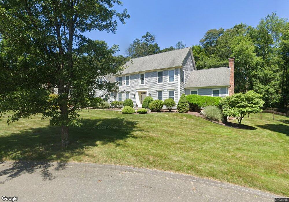
17 Kensington Dr Wilbraham, MA 01095
Estimated Value: $721,789 - $860,000
4
Beds
3
Baths
2,990
Sq Ft
$258/Sq Ft
Est. Value
About This Home
This home is located at 17 Kensington Dr, Wilbraham, MA 01095 and is currently estimated at $769,947, approximately $257 per square foot. 17 Kensington Dr is a home located in Hampden County with nearby schools including Minnechaug Regional High School, St. John the Baptist School, and Wilbraham & Monson Academy.
Ownership History
Date
Name
Owned For
Owner Type
Purchase Details
Closed on
Jun 4, 2004
Sold by
R E Laplante Constr
Bought by
Rodstein Barry M and Yamagishi Yoshie
Current Estimated Value
Home Financials for this Owner
Home Financials are based on the most recent Mortgage that was taken out on this home.
Original Mortgage
$333,000
Outstanding Balance
$162,128
Interest Rate
5.94%
Mortgage Type
Purchase Money Mortgage
Estimated Equity
$607,819
Create a Home Valuation Report for This Property
The Home Valuation Report is an in-depth analysis detailing your home's value as well as a comparison with similar homes in the area
Home Values in the Area
Average Home Value in this Area
Purchase History
| Date | Buyer | Sale Price | Title Company |
|---|---|---|---|
| Rodstein Barry M | $139,900 | -- |
Source: Public Records
Mortgage History
| Date | Status | Borrower | Loan Amount |
|---|---|---|---|
| Open | Rodstein Barry M | $333,000 |
Source: Public Records
Tax History Compared to Growth
Tax History
| Year | Tax Paid | Tax Assessment Tax Assessment Total Assessment is a certain percentage of the fair market value that is determined by local assessors to be the total taxable value of land and additions on the property. | Land | Improvement |
|---|---|---|---|---|
| 2025 | $12,239 | $684,500 | $145,300 | $539,200 |
| 2024 | $11,827 | $639,300 | $145,300 | $494,000 |
| 2023 | $10,730 | $573,800 | $145,300 | $428,500 |
| 2022 | $10,722 | $523,300 | $145,300 | $378,000 |
| 2021 | $10,899 | $474,700 | $130,400 | $344,300 |
| 2020 | $10,624 | $474,700 | $130,400 | $344,300 |
| 2019 | $10,351 | $474,800 | $130,400 | $344,400 |
| 2018 | $10,288 | $454,400 | $130,400 | $324,000 |
| 2017 | $9,997 | $454,400 | $130,400 | $324,000 |
| 2016 | $9,979 | $462,000 | $144,400 | $317,600 |
| 2015 | $9,647 | $462,000 | $144,400 | $317,600 |
Source: Public Records
Map
Nearby Homes
- 103 Sandalwood Dr Unit site 00
- 111 Sandalwood Dr Unit site 00
- 99 Sandalwood Dr Unit site 00
- 57 Sandalwood Dr Unit site 61
- 26 Sandalwood Dr
- 15 Sandalwood Dr Unit site 00
- 10 Forest Glade Dr
- 11 Wellfleet Dr
- 4 Lance Ln
- 11 Hickory Hill Dr
- 344 Stony Hill Rd
- 6V Melikian Dr
- 8 Glenn Dr
- 19 Linwood Dr
- 32 Lodge Ln Unit 32
- 34 Blacksmith Rd
- 24 Lodge Ln Unit 24
- 116 Cherry Dr Unit 116
- 88 Manchonis Rd
- 2205 Boston Rd Unit I 82
- 15 Kensington Dr
- 17 Woodsley Rd
- 18 Kensington Dr
- 14 Kensington Dr
- 18 Woodsley Rd
- 12 Kensington Dr
- 11 Kensington Dr
- 16 Woodsley Rd
- 15 Woodsley Rd
- 10 Kensington Dr
- 106 Sandalwood Dr
- 14 Woodsley Rd
- 43 Cypress Ln Unit 43
- 43 Cypress Ln
- 45 Cypress Ln Unit 45
- 45 Cypress Ln
- 9 Kensington Dr
- 102 Sandalwood Dr
- 11 Woodsley Rd
- 100 Sandalwood Dr