17 Keyser Rd Westport, CT 06880
Westport Village NeighborhoodEstimated Value: $1,809,090 - $2,514,000
4
Beds
3
Baths
2,491
Sq Ft
$824/Sq Ft
Est. Value
About This Home
This home is located at 17 Keyser Rd, Westport, CT 06880 and is currently estimated at $2,051,523, approximately $823 per square foot. 17 Keyser Rd is a home located in Fairfield County with nearby schools including Saugatuck Elementary School, Bedford Middle School, and Staples High School.
Ownership History
Date
Name
Owned For
Owner Type
Purchase Details
Closed on
Mar 1, 2010
Sold by
Grimes David M
Bought by
Light Libby A
Current Estimated Value
Purchase Details
Closed on
Jul 10, 2002
Sold by
Gore Kevin E and Gore Gina L
Bought by
Grimes David M and Light Libby A
Purchase Details
Closed on
Mar 28, 2001
Sold by
Healey Gregg
Bought by
Gore Kevin and Gore Gina
Purchase Details
Closed on
May 31, 1996
Sold by
Daddario Richard and Daddario Bernice
Bought by
Healey Gregg and Healey Bridgette
Purchase Details
Closed on
Jun 13, 1990
Sold by
Richardson Michael
Bought by
Daddario Richard
Purchase Details
Closed on
Jul 1, 1988
Sold by
Keyser Rd Assoc
Bought by
Richardson Michael
Create a Home Valuation Report for This Property
The Home Valuation Report is an in-depth analysis detailing your home's value as well as a comparison with similar homes in the area
Home Values in the Area
Average Home Value in this Area
Purchase History
Date | Buyer | Sale Price | Title Company |
---|---|---|---|
Light Libby A | -- | -- | |
Grimes David M | $846,545 | -- | |
Gore Kevin | $773,500 | -- | |
Healey Gregg | $525,000 | -- | |
Light Libby A | -- | -- | |
Grimes David M | $846,545 | -- | |
Gore Kevin | $773,500 | -- | |
Healey Gregg | $525,000 | -- | |
Daddario Richard | $525,000 | -- | |
Richardson Michael | $510,000 | -- |
Source: Public Records
Mortgage History
Date | Status | Borrower | Loan Amount |
---|---|---|---|
Open | Light Libby A | $694,650 | |
Previous Owner | Keyser Road Assoc | $760,000 |
Source: Public Records
Tax History Compared to Growth
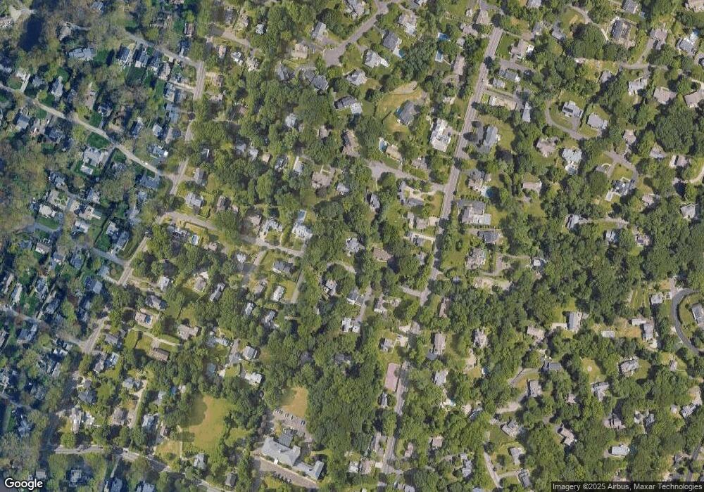
Tax History
Year | Tax Paid | Tax Assessment Tax Assessment Total Assessment is a certain percentage of the fair market value that is determined by local assessors to be the total taxable value of land and additions on the property. | Land | Improvement |
---|---|---|---|---|
2024 | $13,440 | $721,800 | $425,600 | $296,200 |
2023 | $13,245 | $721,800 | $425,600 | $296,200 |
2022 | $13,043 | $721,800 | $425,600 | $296,200 |
2021 | $13,043 | $721,800 | $425,600 | $296,200 |
2020 | $11,908 | $712,600 | $427,100 | $285,500 |
2019 | $12,014 | $712,600 | $427,100 | $285,500 |
2018 | $12,014 | $712,600 | $427,100 | $285,500 |
2017 | $12,014 | $712,600 | $427,100 | $285,500 |
2016 | $12,014 | $712,600 | $427,100 | $285,500 |
2015 | $10,501 | $580,500 | $328,900 | $251,600 |
2014 | $10,414 | $580,500 | $328,900 | $251,600 |
Source: Public Records
Map
Nearby Homes
- 171 & 169 Compo Rd S
- 171 Compo Rd S
- 167A Compo Rd S
- 3 Laurel Ln
- 7 Mansfield Place
- 21 Oak Ridge Park
- 105 Valley Rd
- 22 Oak Ridge Park
- 29 Otter Trail
- 23 Hale St
- 378 Riverside Ave
- 32 Narrow Rocks Rd
- 104 Compo Rd S
- 102 Compo Rd S
- 37 Green Acre Ln
- 6 Over Rock Ln
- 11 Valley Rd
- 7 Over Rock Ln
- 11 Manitou Ct
- 6 Stony Point Rd