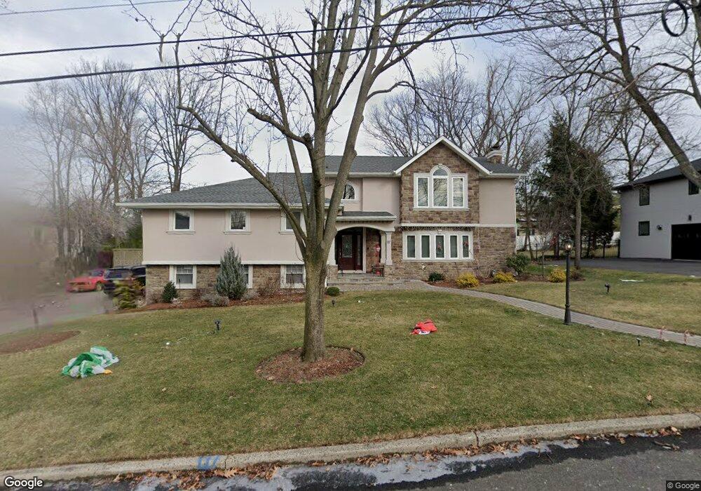
17 Kimhunter Rd Englewood Cliffs, NJ 07632
Estimated Value: $1,636,103 - $2,055,000
--
Bed
--
Bath
3,761
Sq Ft
$495/Sq Ft
Est. Value
About This Home
This home is located at 17 Kimhunter Rd, Englewood Cliffs, NJ 07632 and is currently estimated at $1,863,526, approximately $495 per square foot. 17 Kimhunter Rd is a home located in Bergen County with nearby schools including North Cliff Elementary School, Upper School Elementary School, and Englewood on the Palisades Charter School.
Ownership History
Date
Name
Owned For
Owner Type
Purchase Details
Closed on
Mar 9, 2011
Sold by
Goodman Rosemary
Bought by
Maquieira Diana
Current Estimated Value
Home Financials for this Owner
Home Financials are based on the most recent Mortgage that was taken out on this home.
Original Mortgage
$80,000
Outstanding Balance
$3,578
Interest Rate
4.3%
Mortgage Type
Purchase Money Mortgage
Estimated Equity
$1,859,948
Purchase Details
Closed on
Mar 25, 2003
Sold by
Goodman Jerome J
Bought by
Goodman Rosemary
Purchase Details
Closed on
Dec 23, 2002
Sold by
Morganstein Hiram N
Bought by
Goodman Rosemary and Goodman Jerome J
Home Financials for this Owner
Home Financials are based on the most recent Mortgage that was taken out on this home.
Original Mortgage
$250,000
Interest Rate
5.98%
Create a Home Valuation Report for This Property
The Home Valuation Report is an in-depth analysis detailing your home's value as well as a comparison with similar homes in the area
Home Values in the Area
Average Home Value in this Area
Purchase History
| Date | Buyer | Sale Price | Title Company |
|---|---|---|---|
| Maquieira Diana | $950,000 | -- | |
| Goodman Rosemary | -- | -- | |
| Goodman Rosemary | $825,000 | -- |
Source: Public Records
Mortgage History
| Date | Status | Borrower | Loan Amount |
|---|---|---|---|
| Open | Maquieira Diana | $80,000 | |
| Previous Owner | Goodman Rosemary | $250,000 |
Source: Public Records
Tax History Compared to Growth
Tax History
| Year | Tax Paid | Tax Assessment Tax Assessment Total Assessment is a certain percentage of the fair market value that is determined by local assessors to be the total taxable value of land and additions on the property. | Land | Improvement |
|---|---|---|---|---|
| 2025 | $12,633 | $1,093,800 | $900,000 | $193,800 |
| 2024 | $12,480 | $1,093,800 | $900,000 | $193,800 |
| 2023 | $12,283 | $1,093,800 | $900,000 | $193,800 |
| 2022 | $12,283 | $1,093,800 | $900,000 | $193,800 |
| 2021 | $9,442 | $1,093,800 | $900,000 | $193,800 |
| 2020 | $12,590 | $1,093,800 | $900,000 | $193,800 |
| 2019 | $11,824 | $1,093,800 | $900,000 | $193,800 |
| 2018 | $10,430 | $1,000,000 | $900,000 | $100,000 |
| 2017 | $9,980 | $1,000,000 | $900,000 | $100,000 |
| 2016 | $9,790 | $1,000,000 | $900,000 | $100,000 |
| 2015 | $9,300 | $1,000,000 | $900,000 | $100,000 |
| 2014 | $8,700 | $1,000,000 | $900,000 | $100,000 |
Source: Public Records
Map
Nearby Homes