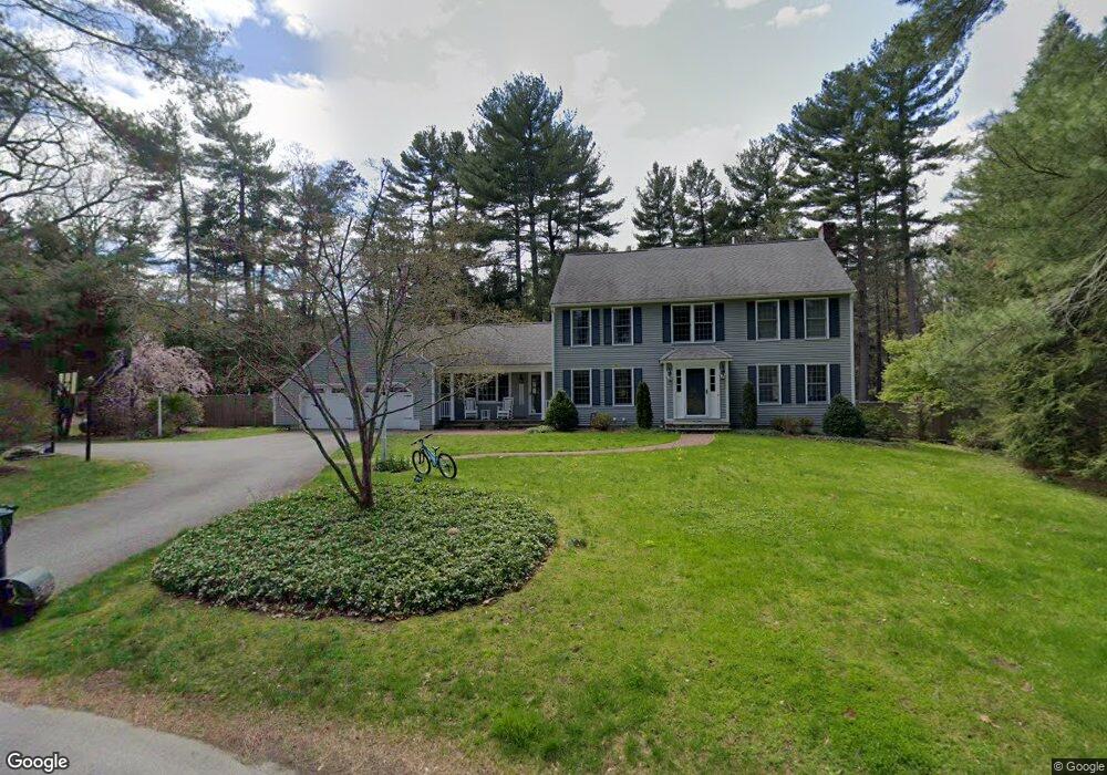
17 Lafayette Dr Sudbury, MA 01776
Estimated Value: $1,289,861 - $1,459,000
5
Beds
4
Baths
3,439
Sq Ft
$395/Sq Ft
Est. Value
About This Home
This home is located at 17 Lafayette Dr, Sudbury, MA 01776 and is currently estimated at $1,357,465, approximately $394 per square foot. 17 Lafayette Dr is a home located in Middlesex County with nearby schools including Israel Loring Elementary School, Ephraim Curtis Middle School, and Lincoln-Sudbury Regional High School.
Ownership History
Date
Name
Owned For
Owner Type
Purchase Details
Closed on
Apr 29, 2011
Sold by
Besemer 3Rd John W and Besemer Deborah M
Bought by
Flanagan Daniel J and Flanagan Kristin V
Current Estimated Value
Home Financials for this Owner
Home Financials are based on the most recent Mortgage that was taken out on this home.
Original Mortgage
$523,750
Interest Rate
4.76%
Mortgage Type
Purchase Money Mortgage
Create a Home Valuation Report for This Property
The Home Valuation Report is an in-depth analysis detailing your home's value as well as a comparison with similar homes in the area
Home Values in the Area
Average Home Value in this Area
Purchase History
| Date | Buyer | Sale Price | Title Company |
|---|---|---|---|
| Flanagan Daniel J | $710,000 | -- | |
| Flanagan Daniel J | $710,000 | -- |
Source: Public Records
Mortgage History
| Date | Status | Borrower | Loan Amount |
|---|---|---|---|
| Open | Flanagan Daniel J | $523,750 | |
| Closed | Flanagan Daniel J | $523,750 |
Source: Public Records
Tax History Compared to Growth
Tax History
| Year | Tax Paid | Tax Assessment Tax Assessment Total Assessment is a certain percentage of the fair market value that is determined by local assessors to be the total taxable value of land and additions on the property. | Land | Improvement |
|---|---|---|---|---|
| 2025 | $17,435 | $1,190,900 | $461,400 | $729,500 |
| 2024 | $16,758 | $1,147,000 | $447,800 | $699,200 |
| 2023 | $15,792 | $1,001,400 | $414,600 | $586,800 |
| 2022 | $15,563 | $862,200 | $380,200 | $482,000 |
| 2021 | $14,836 | $787,900 | $380,200 | $407,700 |
| 2020 | $14,537 | $787,900 | $380,200 | $407,700 |
| 2019 | $14,111 | $787,900 | $380,200 | $407,700 |
| 2018 | $13,881 | $774,200 | $400,200 | $374,000 |
| 2017 | $13,589 | $766,000 | $395,400 | $370,600 |
| 2016 | $13,184 | $740,700 | $380,200 | $360,500 |
| 2015 | $12,656 | $719,100 | $365,400 | $353,700 |
| 2014 | $12,650 | $701,600 | $354,600 | $347,000 |
Source: Public Records
Map
Nearby Homes
- 0 Boston Post Rd
- 143 Peakham Rd
- 54 Stone Rd
- 12 Hickory Rd
- 0 Robbins Rd
- 30 Rolling Ln
- 123 Dutton Rd
- 7 Adams Rd
- 7 Saddle Ridge Rd
- 24 Woodland Rd
- 89 Bridle Path
- 100 Nobscot Dr
- 6 Mountain View Dr
- 128 Nobscot Rd
- 21 Summer St
- 30 Nobscot Rd Unit 14
- 1011 Boston Post Rd
- 32 Eaton Rd W
- 50 Juniper Ln
- 19 Nob Hill Dr
- 11 Lafayette Dr
- 18 Lafayette Dr
- 25 Lafayette Dr
- 26 Lafayette Dr
- 8 Lafayette Dr
- 770 Boston Post Rd
- 7 Lafayette Dr
- 7 Lafayette Dr Unit 1
- 33 Lafayette Dr
- 15 Revere Rd
- 55 Washington Dr
- 65 Washington Dr
- 47 Washington Dr
- 7 Revere Rd
- 740 Boston Post Rd
- 39 Lafayette Dr
- 20 Revere Rd
- 790 Boston Post Rd
- 56 Washington Dr
- 39 Washington Dr