17 Lakeside Ave Unit 1 Wrentham, MA 02093
Estimated Value: $715,000 - $931,417
2
Beds
1
Bath
1,200
Sq Ft
$671/Sq Ft
Est. Value
About This Home
This home is located at 17 Lakeside Ave Unit 1, Wrentham, MA 02093 and is currently estimated at $805,104, approximately $670 per square foot. 17 Lakeside Ave Unit 1 is a home located in Norfolk County with nearby schools including Delaney Elementary School and Charles E Roderick.
Ownership History
Date
Name
Owned For
Owner Type
Purchase Details
Closed on
Sep 18, 2012
Sold by
Koss Jeffrey D
Bought by
Elias Claude
Current Estimated Value
Purchase Details
Closed on
Oct 17, 2006
Sold by
Scherer John
Bought by
Zadroga John T
Home Financials for this Owner
Home Financials are based on the most recent Mortgage that was taken out on this home.
Original Mortgage
$324,000
Interest Rate
6.47%
Mortgage Type
Purchase Money Mortgage
Purchase Details
Closed on
Jul 20, 1999
Sold by
Rasicot Douglas M and Rasicot Susan E
Bought by
Scherer John and Scherer Ruth E
Create a Home Valuation Report for This Property
The Home Valuation Report is an in-depth analysis detailing your home's value as well as a comparison with similar homes in the area
Home Values in the Area
Average Home Value in this Area
Purchase History
| Date | Buyer | Sale Price | Title Company |
|---|---|---|---|
| Elias Claude | $215,000 | -- | |
| Zadroga John T | $360,000 | -- | |
| Scherer John | $162,000 | -- |
Source: Public Records
Mortgage History
| Date | Status | Borrower | Loan Amount |
|---|---|---|---|
| Previous Owner | Zadroga John T | $324,000 |
Source: Public Records
Tax History Compared to Growth
Tax History
| Year | Tax Paid | Tax Assessment Tax Assessment Total Assessment is a certain percentage of the fair market value that is determined by local assessors to be the total taxable value of land and additions on the property. | Land | Improvement |
|---|---|---|---|---|
| 2025 | $9,716 | $838,300 | $442,900 | $395,400 |
| 2024 | $9,523 | $793,600 | $442,900 | $350,700 |
| 2023 | $8,852 | $701,400 | $402,600 | $298,800 |
| 2022 | $8,396 | $614,200 | $357,300 | $256,900 |
| 2021 | $7,786 | $553,400 | $317,200 | $236,200 |
| 2020 | $8,889 | $623,800 | $346,000 | $277,800 |
| 2019 | $9,004 | $637,700 | $372,600 | $265,100 |
| 2018 | $9,078 | $637,500 | $372,500 | $265,000 |
| 2017 | $8,959 | $628,700 | $365,300 | $263,400 |
| 2016 | $6,153 | $430,900 | $354,800 | $76,100 |
| 2015 | $6,047 | $403,700 | $341,100 | $62,600 |
| 2014 | $5,946 | $388,400 | $328,000 | $60,400 |
Source: Public Records
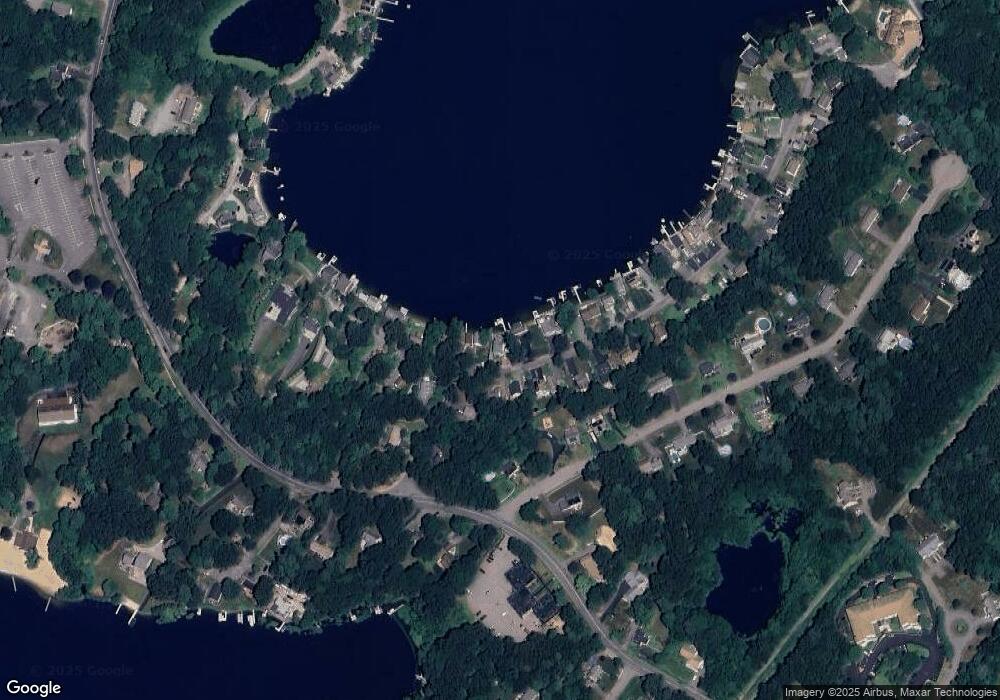
Map
Nearby Homes
- 131 Creek St Unit 7
- 11 Earle Stewart Ln
- Lot 3 - 14 Earle Stewart Ln
- Lot 1 - Blueberry 2 Car Plan at King Philip Estates
- Lot 8 - Blueberry 2 Car Plan at King Philip Estates
- Lot 6 - Blueberry 3 Car Plan at King Philip Estates
- Lot 2 - Camden 2 Car Plan at King Philip Estates
- Lot 7 - Cedar Plan at King Philip Estates
- Lot 4 - Hemingway 2 Car Plan at King Philip Estates
- Lot 3 - Blueberry 2 Car Plan at King Philip Estates
- 10 Nature View Dr
- 15 Nature View Dr
- 570 Franklin St
- 319 Taunton St
- 270 Dedham St
- 1 Lorraine Metcalf Dr
- 791 South St Unit 5
- 362 East St
- 50 Reed Fulton Ave Unit Lot 61
- 246 Forest Grove Ave
- 17 Lakeside Ave
- 11 Lakeside Ave
- 41 Lakeside Ave
- 9 Lakeside Ave
- 30 Lakeside Ave
- 36 Lakeside Ave
- 43 Lakeside Ave
- 1 Lakeside Ave
- 38 Lakeside Ave
- 40 Lakeside Ave
- 18 A St
- 55 Welcome Ln
- 42 Lakeside Ave
- 23 A St
- 45 Lakeside Ave
- 46 Lakeside Ave
- 15 Caesar Chelor Dr
- 45 Welcome Ln
- 47 Lakeside Ave
- 50 Lakeside Ave