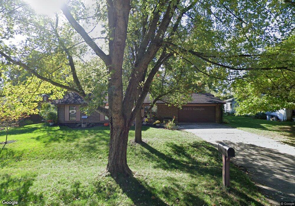
17 Landis Cir Hamilton, OH 45013
Ross Township NeighborhoodEstimated Value: $259,000 - $280,000
3
Beds
2
Baths
1,152
Sq Ft
$235/Sq Ft
Est. Value
About This Home
This home is located at 17 Landis Cir, Hamilton, OH 45013 and is currently estimated at $270,333, approximately $234 per square foot. 17 Landis Cir is a home located in Butler County with nearby schools including Morgan Elementary School, Ross Intermediate School, and Ross Middle School.
Ownership History
Date
Name
Owned For
Owner Type
Purchase Details
Closed on
Jul 11, 1994
Sold by
Long Philip T
Bought by
Adams Phillip Y and Adams Barbara
Current Estimated Value
Home Financials for this Owner
Home Financials are based on the most recent Mortgage that was taken out on this home.
Original Mortgage
$84,150
Interest Rate
8.61%
Mortgage Type
VA
Create a Home Valuation Report for This Property
The Home Valuation Report is an in-depth analysis detailing your home's value as well as a comparison with similar homes in the area
Home Values in the Area
Average Home Value in this Area
Purchase History
| Date | Buyer | Sale Price | Title Company |
|---|---|---|---|
| Adams Phillip Y | $81,900 | -- |
Source: Public Records
Mortgage History
| Date | Status | Borrower | Loan Amount |
|---|---|---|---|
| Closed | Adams Phillip Y | $84,150 |
Source: Public Records
Tax History Compared to Growth
Tax History
| Year | Tax Paid | Tax Assessment Tax Assessment Total Assessment is a certain percentage of the fair market value that is determined by local assessors to be the total taxable value of land and additions on the property. | Land | Improvement |
|---|---|---|---|---|
| 2024 | $2,000 | $55,690 | $14,100 | $41,590 |
| 2023 | $1,989 | $55,690 | $14,100 | $41,590 |
| 2022 | $1,758 | $44,350 | $14,100 | $30,250 |
| 2021 | $1,676 | $44,350 | $14,100 | $30,250 |
| 2020 | $1,750 | $44,350 | $14,100 | $30,250 |
| 2019 | $2,757 | $38,670 | $14,290 | $24,380 |
| 2018 | $1,547 | $38,670 | $14,290 | $24,380 |
| 2017 | $1,429 | $38,670 | $14,290 | $24,380 |
| 2016 | $1,422 | $37,040 | $14,290 | $22,750 |
| 2015 | $1,402 | $37,040 | $14,290 | $22,750 |
| 2014 | $1,501 | $37,040 | $14,290 | $22,750 |
| 2013 | $1,501 | $38,930 | $9,150 | $29,780 |
Source: Public Records
Map
Nearby Homes
- 57 Landis Cir
- 2575 Martha Ln
- 408 Morman Rd
- 2075 Ross Estates Dr
- 1399 Treaty Ct
- 3398 Hamilton Scipio Rd
- B Minton Rd
- 450 Charlberth Dr
- 4100 Reily Millville Rd
- 799 Millville Oxford Rd
- 1370 Ross Hanover Rd
- 2031 Millville Shandon Rd
- 43 Thornhill Dr
- 1847 Del Rio Dr
- 7 Victor Ct
- 1179 San Angelo Dr
- 616 Rockford Dr
- 6 Twinbrook Dr
- 1062 San Angelo Dr
- 465 Smalley Blvd
- 15 Landis Cir
- 19 Landis Cir
- 2722 Broshear Dr
- 2732 Broshear Dr
- 13 Landis Cir
- 21 Landis Cir
- 2710 Broshear Dr
- 2742 Broshear Dr
- 16 Landis Cir
- 14 Landis Cir
- 20 Landis Cir
- 2700 Broshear Dr
- 23 Landis Cir
- 7 Landis Cir
- 12 Landis Cir
- 2754 Broshear Dr
- 2692 Broshear Dr
- 25 Landis Cir
- 2725 Broshear Dr
- 2735 Broshear Dr