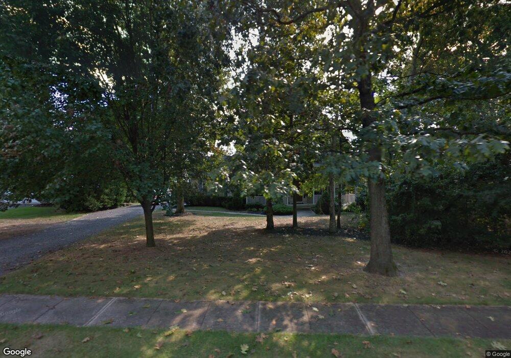
17 Laurel Tree Dr Westampton, NJ 08060
Estimated Value: $537,045 - $553,000
4
Beds
3
Baths
2,040
Sq Ft
$267/Sq Ft
Est. Value
About This Home
This home is located at 17 Laurel Tree Dr, Westampton, NJ 08060 and is currently estimated at $544,761, approximately $267 per square foot. 17 Laurel Tree Dr is a home located in Burlington County with nearby schools including Holly Hills Elementary School, Westampton Intermediate School, and Rancocas Valley Regional High School.
Ownership History
Date
Name
Owned For
Owner Type
Purchase Details
Closed on
Aug 16, 2020
Sold by
Biglin Michael B and Biglin Barbara S
Bought by
Orr Scott F and Munko Sharon
Current Estimated Value
Home Financials for this Owner
Home Financials are based on the most recent Mortgage that was taken out on this home.
Original Mortgage
$327,750
Interest Rate
2.8%
Mortgage Type
New Conventional
Purchase Details
Closed on
Jul 9, 1999
Sold by
Wilson Stuart and Wilson Maureen
Bought by
Biglin Michael B and Biglin Barbara S
Home Financials for this Owner
Home Financials are based on the most recent Mortgage that was taken out on this home.
Original Mortgage
$164,800
Interest Rate
7.65%
Purchase Details
Closed on
Aug 14, 1997
Sold by
Irick Woods Inc
Bought by
Wilson Stuart and Wilson Maureen
Home Financials for this Owner
Home Financials are based on the most recent Mortgage that was taken out on this home.
Original Mortgage
$180,650
Interest Rate
7.42%
Mortgage Type
Construction
Create a Home Valuation Report for This Property
The Home Valuation Report is an in-depth analysis detailing your home's value as well as a comparison with similar homes in the area
Home Values in the Area
Average Home Value in this Area
Purchase History
| Date | Buyer | Sale Price | Title Company |
|---|---|---|---|
| Orr Scott F | $345,000 | Trident Land Transfer Co | |
| Biglin Michael B | $206,000 | -- | |
| Wilson Stuart | $193,000 | Title America Agency Corp |
Source: Public Records
Mortgage History
| Date | Status | Borrower | Loan Amount |
|---|---|---|---|
| Previous Owner | Orr Scott F | $327,750 | |
| Previous Owner | Biglin Michael B | $164,800 | |
| Previous Owner | Wilson Stuart | $180,650 |
Source: Public Records
Tax History Compared to Growth
Tax History
| Year | Tax Paid | Tax Assessment Tax Assessment Total Assessment is a certain percentage of the fair market value that is determined by local assessors to be the total taxable value of land and additions on the property. | Land | Improvement |
|---|---|---|---|---|
| 2025 | $8,455 | $301,000 | $68,400 | $232,600 |
| 2024 | $8,136 | $301,000 | $68,400 | $232,600 |
| 2023 | $8,136 | $301,000 | $68,400 | $232,600 |
| 2022 | $7,730 | $301,000 | $68,400 | $232,600 |
| 2021 | $7,444 | $301,000 | $68,400 | $232,600 |
| 2020 | $7,414 | $301,000 | $68,400 | $232,600 |
| 2019 | $7,263 | $301,000 | $68,400 | $232,600 |
| 2018 | $7,170 | $301,000 | $68,400 | $232,600 |
| 2017 | $6,980 | $301,000 | $68,400 | $232,600 |
| 2016 | $6,851 | $301,000 | $68,400 | $232,600 |
| 2015 | $6,718 | $301,000 | $68,400 | $232,600 |
| 2014 | $6,547 | $301,000 | $68,400 | $232,600 |
Source: Public Records
Map
Nearby Homes
- 4 Steinway Ct
- 724 Woodlane Rd
- 56 Greenwich Dr
- 55 Greenwich Dr
- 4 Brighton Ct
- 0 Cor Path Off Breezy Ridge
- 858 Rancocas Rd
- 13 Tarnsfield Rd
- 901 Russo Dr
- 30 Dover Rd
- 606 Price Dr
- 8 Longfellow Ln
- 400 Pennington Dr
- 745 Holly Ln
- 509 Broad St
- 112 Pine Ln
- 29 Regency Dr
- 726 Smith Ln
- 20 Greenbrier Dr
- 4 Pine Ln
- 17 Laurel Tree Ct
- 19 Laurel Tree Dr
- 15 Laurel Tree Dr
- 16 Laurel Tree Dr
- 21 Laurel Tree Dr
- 13 Laurel Tree Dr
- 1 Pine Tree Dr
- 23 Laurel Tree Dr
- 22 Laurel Tree Dr
- 100 Schoolhouse Rd
- 11 Laurel Tree Dr
- 57 Sherwood Ln
- 59 Sherwood Ln
- 55 Sherwood Ln
- 2 Pine Tree Dr
- 61 Sherwood Ln
- 12 Laurel Tree Dr
- 63 Sherwood Ln
- 9 Laurel Tree Dr
- 7 Laurel Tree Dr