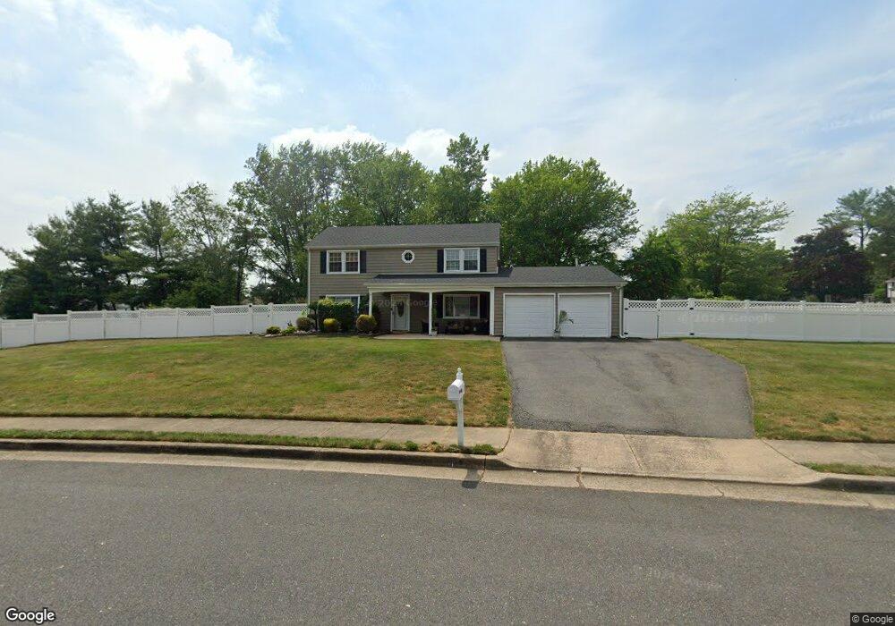
17 Lawton Rd Marlboro, NJ 07746
Estimated Value: $704,000 - $829,000
4
Beds
3
Baths
1,887
Sq Ft
$407/Sq Ft
Est. Value
About This Home
This home is located at 17 Lawton Rd, Marlboro, NJ 07746 and is currently estimated at $768,089, approximately $407 per square foot. 17 Lawton Rd is a home located in Monmouth County with nearby schools including Marlboro Elementary School, Marlboro Middle School, and Marlboro High School.
Ownership History
Date
Name
Owned For
Owner Type
Purchase Details
Closed on
Dec 8, 2009
Sold by
Natoli Anthony and Natoli Christine
Bought by
Dukes Francis T and Cardinale Crystal A
Current Estimated Value
Home Financials for this Owner
Home Financials are based on the most recent Mortgage that was taken out on this home.
Original Mortgage
$335,000
Outstanding Balance
$219,848
Interest Rate
5.02%
Mortgage Type
New Conventional
Estimated Equity
$548,241
Purchase Details
Closed on
Dec 14, 2001
Sold by
Klugler Howard
Bought by
Hornstein Christine and Natoli Anthony
Create a Home Valuation Report for This Property
The Home Valuation Report is an in-depth analysis detailing your home's value as well as a comparison with similar homes in the area
Home Values in the Area
Average Home Value in this Area
Purchase History
| Date | Buyer | Sale Price | Title Company |
|---|---|---|---|
| Dukes Francis T | $395,000 | Old Republic National Title | |
| Hornstein Christine | $190,000 | -- |
Source: Public Records
Mortgage History
| Date | Status | Borrower | Loan Amount |
|---|---|---|---|
| Open | Dukes Francis T | $335,000 |
Source: Public Records
Tax History Compared to Growth
Tax History
| Year | Tax Paid | Tax Assessment Tax Assessment Total Assessment is a certain percentage of the fair market value that is determined by local assessors to be the total taxable value of land and additions on the property. | Land | Improvement |
|---|---|---|---|---|
| 2025 | $9,305 | $373,100 | $183,500 | $189,600 |
| 2024 | $8,895 | $373,100 | $183,500 | $189,600 |
| 2023 | $8,895 | $373,100 | $183,500 | $189,600 |
| 2022 | $8,667 | $373,100 | $183,500 | $189,600 |
| 2021 | $8,581 | $373,100 | $183,500 | $189,600 |
| 2020 | $8,578 | $373,100 | $183,500 | $189,600 |
| 2019 | $8,581 | $373,100 | $183,500 | $189,600 |
| 2018 | $8,436 | $373,100 | $183,500 | $189,600 |
| 2017 | $8,272 | $373,100 | $183,500 | $189,600 |
| 2016 | $8,238 | $373,100 | $183,500 | $189,600 |
| 2015 | $8,217 | $377,800 | $183,500 | $194,300 |
| 2014 | $8,262 | $375,900 | $203,500 | $172,400 |
Source: Public Records
Map
Nearby Homes
- 680 - 21.04 County Road 520
- 680 - 21.1 County Road 520
- 680 - 21.21 County Road 520
- 680 County Road 520
- 680 - 21.15 County Road 520
- 680 - 21.19 County Road 520
- 680 - 21.11 County Road 520
- 680 - 21.12 County Road 520
- 680 - 21.09 County Road 520
- 680 - 21.05 County Road 520
- 680 - 21.13 County Road 520
- 680 - 21.06 County Road 520
- 680 - 21.16 County Road 520
- 680 - 21.22 County Road 520
- 680 - 21.08 County Road 520
- 680 - 21.14 County Road 520
- 680 - 21.18 County Road 520
- 680 - 21.17 County Road 520
- 680 - 21.2 County Road 520
- 18 Egret Ln