17 Lemoyne Ln Kiawah Island, SC 29455
Estimated Value: $5,636,794 - $6,236,000
4
Beds
7
Baths
5,220
Sq Ft
$1,156/Sq Ft
Est. Value
About This Home
This home is located at 17 Lemoyne Ln, Kiawah Island, SC 29455 and is currently estimated at $6,035,931, approximately $1,156 per square foot. 17 Lemoyne Ln is a home located in Charleston County with nearby schools including Mt. Zion Elementary School, Haut Gap Middle School, and St. Johns High School.
Ownership History
Date
Name
Owned For
Owner Type
Purchase Details
Closed on
Mar 23, 2023
Sold by
Seabrook 3480 Llc
Bought by
James H Wooten Jr Revocable Trust and Gertrude Dyane Wooten Revocable Trust
Current Estimated Value
Purchase Details
Closed on
Jun 19, 2019
Sold by
Gillespie Patrick C M
Bought by
Seabrook 3480 Llc
Purchase Details
Closed on
Jul 2, 2014
Sold by
Rhyne Joseph M N and Rhyne Lauren C
Bought by
Ervin Michael E
Purchase Details
Closed on
May 25, 2010
Sold by
Royal Beach 11 Partnership
Bought by
Gillespie Patrick C M
Purchase Details
Closed on
Feb 15, 2006
Sold by
Fishburn Richard J and Fishburn Kathleen G
Bought by
Royal Beach 11 Partnership and 17 Lemoyne Lane Llc
Purchase Details
Closed on
Dec 19, 2000
Sold by
Kiawah Development Partners Inc
Bought by
Fishburn Kathleen G and Fishburn Richard J
Create a Home Valuation Report for This Property
The Home Valuation Report is an in-depth analysis detailing your home's value as well as a comparison with similar homes in the area
Home Values in the Area
Average Home Value in this Area
Purchase History
| Date | Buyer | Sale Price | Title Company |
|---|---|---|---|
| James H Wooten Jr Revocable Trust | -- | None Listed On Document | |
| Seabrook 3480 Llc | $640,000 | None Available | |
| Ervin Michael E | $450,000 | -- | |
| Gillespie Patrick C M | $850,000 | -- | |
| Royal Beach 11 Partnership | $1,250,000 | None Available | |
| Fishburn Kathleen G | $641,250 | -- |
Source: Public Records
Tax History Compared to Growth
Tax History
| Year | Tax Paid | Tax Assessment Tax Assessment Total Assessment is a certain percentage of the fair market value that is determined by local assessors to be the total taxable value of land and additions on the property. | Land | Improvement |
|---|---|---|---|---|
| 2024 | $12,222 | $136,000 | $0 | $0 |
| 2023 | $12,222 | $138,000 | $0 | $0 |
| 2022 | $8,670 | $38,400 | $0 | $0 |
| 2021 | $8,568 | $38,400 | $0 | $0 |
| 2020 | $8,449 | $38,400 | $0 | $0 |
| 2019 | $6,246 | $27,000 | $0 | $0 |
| 2017 | $5,907 | $27,000 | $0 | $0 |
| 2016 | $5,675 | $27,000 | $0 | $0 |
| 2015 | $5,359 | $27,000 | $0 | $0 |
| 2014 | $6,204 | $0 | $0 | $0 |
| 2011 | -- | $0 | $0 | $0 |
Source: Public Records
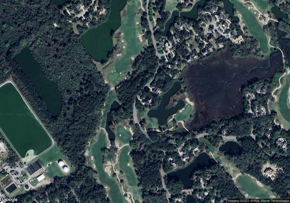
Map
Nearby Homes
- 512 Claret Way
- 515 Claret Way
- 2860 Old Drake Dr
- 2824 Old Drake Dr
- 4005 Bridle Trail Dr
- 4021 Bridle Trail Dr
- 2128 Royal Pine Dr
- 2106 Kings Pine Dr
- 3121 Marshgate Dr
- 2706 Old Oak Walk
- 2123 Kings Pine Dr
- 2160 Royal Pine Dr
- 79 Trailing Vine Way
- 3067 Marshgate Dr
- 2931 Deer Point Dr
- 2472 Racquet Club Dr
- 2465 Racquet Club Dr
- 1142 Turtle Watch Ln
- 1614 Live Oak Park Unit 1614
- 1627 Live Oak Park