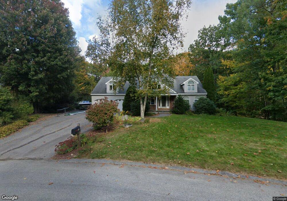
17 Lillian Way Scarborough, ME 04074
Estimated Value: $696,000 - $825,000
2
Beds
3
Baths
2,384
Sq Ft
$312/Sq Ft
Est. Value
About This Home
This home is located at 17 Lillian Way, Scarborough, ME 04074 and is currently estimated at $743,730, approximately $311 per square foot. 17 Lillian Way is a home located in Cumberland County with nearby schools including Scarborough High School and Cornerstone Baptist Academy.
Ownership History
Date
Name
Owned For
Owner Type
Purchase Details
Closed on
Jun 1, 2010
Sold by
Medcalf Flaker Kathi L and Flaker Scott A
Bought by
Friedman Douglas B and Friedman Karen R
Current Estimated Value
Home Financials for this Owner
Home Financials are based on the most recent Mortgage that was taken out on this home.
Original Mortgage
$268,000
Interest Rate
5.13%
Mortgage Type
Commercial
Purchase Details
Closed on
Nov 30, 2006
Sold by
Friedman Douglas B
Bought by
Friedman Jennifer M
Create a Home Valuation Report for This Property
The Home Valuation Report is an in-depth analysis detailing your home's value as well as a comparison with similar homes in the area
Home Values in the Area
Average Home Value in this Area
Purchase History
| Date | Buyer | Sale Price | Title Company |
|---|---|---|---|
| Friedman Douglas B | -- | -- | |
| Friedman Jennifer M | -- | -- |
Source: Public Records
Mortgage History
| Date | Status | Borrower | Loan Amount |
|---|---|---|---|
| Open | Friedman Douglas B | $268,000 | |
| Closed | Friedman Douglas B | $268,000 |
Source: Public Records
Tax History Compared to Growth
Tax History
| Year | Tax Paid | Tax Assessment Tax Assessment Total Assessment is a certain percentage of the fair market value that is determined by local assessors to be the total taxable value of land and additions on the property. | Land | Improvement |
|---|---|---|---|---|
| 2025 | $6,945 | $613,000 | $169,300 | $443,700 |
| 2024 | $6,700 | $613,000 | $169,300 | $443,700 |
| 2023 | $6,351 | $397,700 | $110,600 | $287,100 |
| 2022 | $6,121 | $397,700 | $110,600 | $287,100 |
| 2021 | $5,973 | $397,700 | $110,600 | $287,100 |
| 2020 | $5,908 | $397,600 | $110,500 | $287,100 |
| 2019 | $5,845 | $397,600 | $110,500 | $287,100 |
| 2017 | $5,483 | $332,500 | $115,300 | $217,200 |
| 2016 | $5,293 | $332,500 | $115,300 | $217,200 |
| 2015 | $5,150 | $332,500 | $115,300 | $217,200 |
| 2014 | $4,870 | $332,500 | $115,300 | $217,200 |
| 2013 | -- | $332,500 | $115,300 | $217,200 |
Source: Public Records
Map
Nearby Homes
- 46 Two Rod Rd
- 2 Bunker Hill Terrace
- 93 Two Rod Rd
- 44 Two Rod Rd
- 29-31 Haigis Pkwy
- 00 Payne Rd
- 255 Payne Rd
- 156 Scarborough Downs Rd Unit 330
- 37 Mill Commons Dr Unit 125
- 1 Cross St Unit 103
- 1 Cross St Unit 214
- 1 Cross St Unit 437
- 1 Cross St Unit 213
- 1 Cross St Unit 108
- 1 Cross St Unit 105
- 1 Cross St Unit 211
- 1 Cross St Unit 110
- 1 Cross St Unit 325
- 1 Cross St Unit 107
- 1 Cross St Unit 220