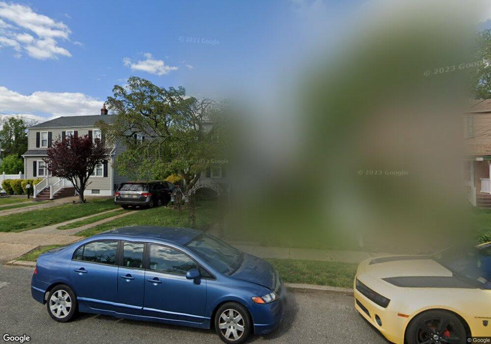
17 Locust Ave Westville, NJ 08093
Estimated Value: $254,194 - $325,000
--
Bed
--
Bath
1,667
Sq Ft
$177/Sq Ft
Est. Value
About This Home
This home is located at 17 Locust Ave, Westville, NJ 08093 and is currently estimated at $295,299, approximately $177 per square foot. 17 Locust Ave is a home located in Gloucester County with nearby schools including Parkview Elementary School and Gateway Regional High School.
Ownership History
Date
Name
Owned For
Owner Type
Purchase Details
Closed on
Apr 21, 2005
Sold by
Decker Pamela Ann and Mastrando Pamela Ann
Bought by
Mastrando Albert and Mastrando Pamela Ann
Current Estimated Value
Home Financials for this Owner
Home Financials are based on the most recent Mortgage that was taken out on this home.
Original Mortgage
$166,000
Outstanding Balance
$98,386
Interest Rate
8.15%
Mortgage Type
New Conventional
Estimated Equity
$196,913
Purchase Details
Closed on
Apr 7, 1995
Sold by
Fillari Ida M
Bought by
Mastrando Albert and Decker Pamela Ann
Create a Home Valuation Report for This Property
The Home Valuation Report is an in-depth analysis detailing your home's value as well as a comparison with similar homes in the area
Home Values in the Area
Average Home Value in this Area
Purchase History
| Date | Buyer | Sale Price | Title Company |
|---|---|---|---|
| Mastrando Albert | -- | -- | |
| Mastrando Albert | $86,000 | Commonwealth Land Title Ins | |
| Mastrando Albert | $86,000 | Commonwealth Land Title |
Source: Public Records
Mortgage History
| Date | Status | Borrower | Loan Amount |
|---|---|---|---|
| Open | Mastrando Albert | $166,000 |
Source: Public Records
Tax History Compared to Growth
Tax History
| Year | Tax Paid | Tax Assessment Tax Assessment Total Assessment is a certain percentage of the fair market value that is determined by local assessors to be the total taxable value of land and additions on the property. | Land | Improvement |
|---|---|---|---|---|
| 2025 | $7,710 | $141,700 | $35,500 | $106,200 |
| 2024 | $7,463 | $141,700 | $35,500 | $106,200 |
| 2023 | $7,463 | $141,700 | $35,500 | $106,200 |
| 2022 | $7,249 | $141,700 | $35,500 | $106,200 |
| 2021 | $6,722 | $141,700 | $35,500 | $106,200 |
| 2020 | $6,904 | $141,700 | $35,500 | $106,200 |
| 2019 | $6,722 | $141,700 | $35,500 | $106,200 |
| 2018 | $6,432 | $141,700 | $35,500 | $106,200 |
| 2017 | $6,606 | $141,700 | $35,500 | $106,200 |
| 2016 | $6,388 | $141,700 | $35,500 | $106,200 |
| 2015 | $6,102 | $141,700 | $35,500 | $106,200 |
| 2014 | $5,704 | $153,500 | $36,900 | $116,600 |
Source: Public Records
Map
Nearby Homes
- 825 Broadway
- 953 Broadway
- 121 E Olive St
- 805 Little Chestnut St
- 610 Broadway
- 227 W Olive St
- 17 Harvard Ave
- 216 E Olive St
- 262 Chestnut St
- 621 Crown Point Rd
- 323 High St
- 224 Delsea Dr
- 220 Delsea Dr
- 372 Marion Ave
- 13 Center St
- 100 Hunter Ave
- 233 Marion Ave
- 191 Broadway
- 123 Edgewater Ave
- 325 Woodbine Ave
- 21 Locust Ave
- 13 Locust Ave
- 25 Locust Ave
- 18 Cedar Ave
- 9 Locust Ave
- 14 Cedar Ave
- 22 Cedar Ave
- 29 Locust Ave
- 26 Cedar Ave
- 10 Cedar Ave
- 12 Locust Ave
- 18 Locust Ave
- 22 Locust Ave
- 28 Cedar Ave
- 805 Broadway Unit UPPER
- 805 Broadway
- 803 Broadway
- 803 Broadway Unit B
- 803 Broadway Unit 2ND FLOOR
- 803 Broadway Unit 1ST FLOOR