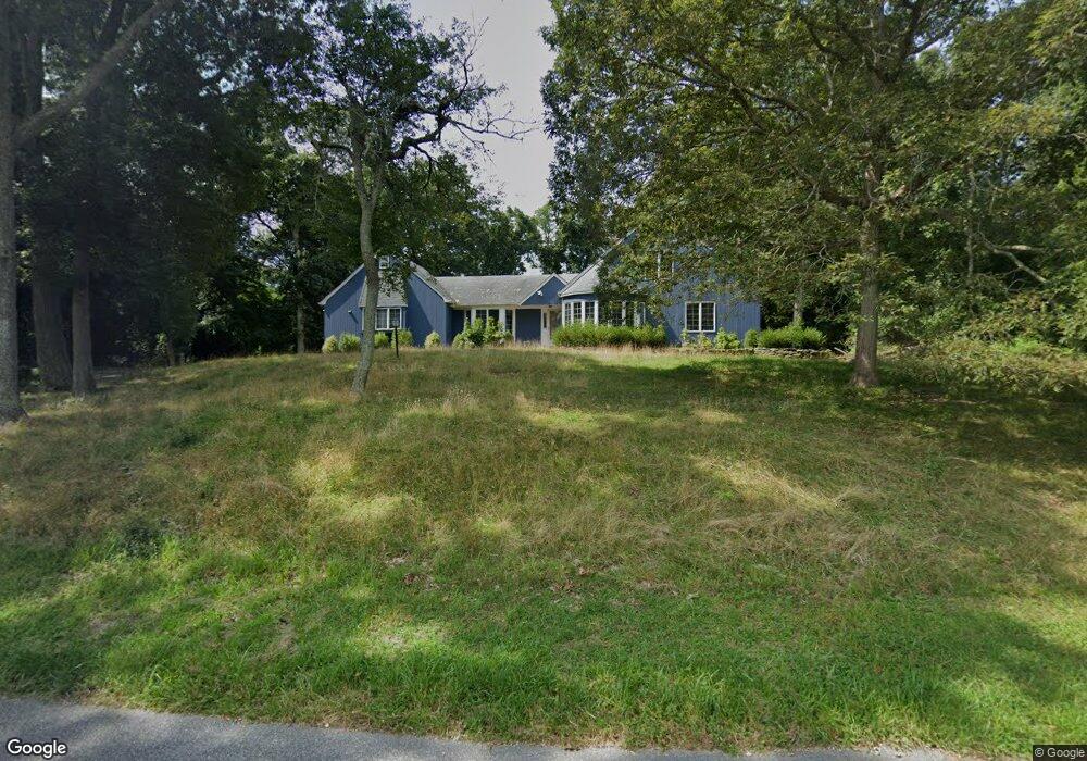
17 Locust Ln Sag Harbor, NY 11963
Estimated Value: $1,612,000 - $2,688,000
4
Beds
3
Baths
2,600
Sq Ft
$861/Sq Ft
Est. Value
About This Home
This home is located at 17 Locust Ln, Sag Harbor, NY 11963 and is currently estimated at $2,239,321, approximately $861 per square foot. 17 Locust Ln is a home located in Suffolk County with nearby schools including Sag Harbor Elementary School and Pierson Middle/High School.
Ownership History
Date
Name
Owned For
Owner Type
Purchase Details
Closed on
Dec 3, 2021
Sold by
Kirrane William K and Kirrane Marjorie
Bought by
17 Locust Llc
Current Estimated Value
Purchase Details
Closed on
Jun 29, 2006
Sold by
Kirrane Kathleen M
Bought by
Kirrane William K
Purchase Details
Closed on
Jul 13, 2001
Sold by
Stuckart William R and Stuckart Muriel M
Bought by
Dougherty Eugene R and Kirrane Kathleen M
Purchase Details
Closed on
Feb 29, 2000
Sold by
Bell Mary Patricia
Bought by
Stuckart William R and Stuckart Muriel M
Purchase Details
Closed on
Mar 10, 1995
Sold by
Bell John E and Bell Mary Patricia
Bought by
Bell Mary Patricia
Create a Home Valuation Report for This Property
The Home Valuation Report is an in-depth analysis detailing your home's value as well as a comparison with similar homes in the area
Home Values in the Area
Average Home Value in this Area
Purchase History
| Date | Buyer | Sale Price | Title Company |
|---|---|---|---|
| 17 Locust Llc | $1,680,000 | None Available | |
| Kirrane William K | $995,000 | Stephen Hans | |
| Dougherty Eugene R | $638,000 | The Judicial Title Ins Agenc | |
| Stuckart William R | $400,000 | Commonwealth Land Title Ins | |
| Bell Mary Patricia | -- | -- |
Source: Public Records
Tax History Compared to Growth
Tax History
| Year | Tax Paid | Tax Assessment Tax Assessment Total Assessment is a certain percentage of the fair market value that is determined by local assessors to be the total taxable value of land and additions on the property. | Land | Improvement |
|---|---|---|---|---|
| 2024 | -- | $1,173,500 | $682,700 | $490,800 |
| 2023 | -- | $1,173,500 | $682,700 | $490,800 |
| 2022 | $7,381 | $1,173,500 | $682,700 | $490,800 |
| 2021 | $7,381 | $1,173,500 | $682,700 | $490,800 |
| 2020 | $7,782 | $1,173,500 | $682,700 | $490,800 |
| 2019 | $7,782 | $0 | $0 | $0 |
| 2018 | -- | $1,141,600 | $682,700 | $458,900 |
| 2017 | $8,116 | $1,141,600 | $682,700 | $458,900 |
| 2016 | $7,202 | $981,300 | $522,400 | $458,900 |
| 2015 | -- | $981,300 | $522,400 | $458,900 |
| 2014 | -- | $981,300 | $522,400 | $458,900 |
Source: Public Records
Map
Nearby Homes
- 2964 Noyack Rd
- 1739 Millstone Rd
- 1694 Millstone Rd
- 2803 Noyac Rd
- 3380 Noyack Rd
- 2885 Deerfield Rd
- 2524 Noyack Rd
- 19 Wickatuck Dr
- 3625 Noyack Rd
- 55 Wickatuck Dr
- 2421 Noyac Rd
- 3748 Noyac Rd
- 75 Island View Dr W
- 24 Shadyrest Dr
- 70 Ridge Rd W
- 2587 Deerfield Rd
- 471 Middle Line Hwy
- 64 Island View Dr W
- 9 Shadyrest Dr
- 3866 Noyack Rd