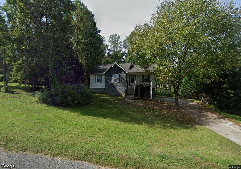
17 Louise Ave Thomasville, NC 27360
Estimated Value: $240,000 - $297,000
3
Beds
2
Baths
3,108
Sq Ft
$86/Sq Ft
Est. Value
About This Home
This home is located at 17 Louise Ave, Thomasville, NC 27360 and is currently estimated at $266,066, approximately $85 per square foot. 17 Louise Ave is a home located in Davidson County with nearby schools including Fair Grove Elementary School, E. Lawson Brown Middle School, and East Davidson High School.
Ownership History
Date
Name
Owned For
Owner Type
Purchase Details
Closed on
Oct 9, 2003
Sold by
Hill Dianna Joyce
Bought by
Johnson Curtis Lee
Current Estimated Value
Purchase Details
Closed on
Sep 13, 2002
Sold by
Moore Joe Don
Bought by
Hill Dianna Joyce
Purchase Details
Closed on
Nov 1, 2001
Sold by
Hill Acres Of Thomasville Llc
Bought by
Moore Joe Don
Purchase Details
Closed on
Mar 21, 2001
Sold by
Cabe Betty Hill
Bought by
Hill Acres Of Thomasville Llc
Purchase Details
Closed on
Jul 21, 2000
Bought by
Cabe Betty Hill
Create a Home Valuation Report for This Property
The Home Valuation Report is an in-depth analysis detailing your home's value as well as a comparison with similar homes in the area
Home Values in the Area
Average Home Value in this Area
Purchase History
| Date | Buyer | Sale Price | Title Company |
|---|---|---|---|
| Johnson Curtis Lee | $122,000 | -- | |
| Hill Dianna Joyce | $38,000 | -- | |
| Moore Joe Don | $110,000 | -- | |
| Hill Acres Of Thomasville Llc | -- | -- | |
| Cabe Betty Hill | -- | -- |
Source: Public Records
Tax History Compared to Growth
Tax History
| Year | Tax Paid | Tax Assessment Tax Assessment Total Assessment is a certain percentage of the fair market value that is determined by local assessors to be the total taxable value of land and additions on the property. | Land | Improvement |
|---|---|---|---|---|
| 2025 | $1,710 | $149,620 | $0 | $0 |
| 2024 | $1,710 | $149,620 | $0 | $0 |
| 2023 | $1,710 | $149,620 | $0 | $0 |
| 2022 | $1,710 | $149,620 | $0 | $0 |
| 2021 | $1,710 | $149,620 | $0 | $0 |
| 2020 | $1,498 | $133,390 | $0 | $0 |
| 2019 | $1,521 | $133,390 | $0 | $0 |
| 2018 | $1,521 | $133,390 | $0 | $0 |
| 2017 | $1,521 | $133,390 | $0 | $0 |
| 2016 | $1,467 | $133,390 | $0 | $0 |
| 2015 | $1,467 | $133,390 | $0 | $0 |
| 2014 | $1,611 | $146,410 | $0 | $0 |
Source: Public Records
Map
Nearby Homes
- 1111 Forest Ln
- 2501 Denton Rd
- 109 Fletcher's Farm Dr
- 123 Brooke Ridge Dr
- 283 Reid Rd
- 1142 Kendall Mill Rd
- 73 Harris Farm Ct
- 149 Cedar Cir
- 365 Cedar Cir
- 300 Willowbrook Dr
- 296 Fairgrove Rd
- 122 S Old Fisher Ferry Rd
- 1 Westwood Ave
- 497 W Hunting Ridge Dr
- 471 W Hunting Ridge Dr
- 172 Cody Dr
- 307 Fisher Ferry St
- 1125 Hillcrest Dr
- 0 Smith Dr
- 0 Hillcrest Dr Unit 90 CAR4240649
- 15 Louise Ave
- 19 Louise Ave
- 13 Louise Ave
- 129 Logan Riley Rd
- 6 Cardinal Creek Rd
- 16 Louise Ave
- 123 Logan Riley Rd
- 14 Louise Ave
- 20 Louise Ave
- 130 Logan Riley Rd
- 12 Louise Ave
- 3 Cardinal Creek Rd
- 9 Louise Ave
- 10 Cardinal Creek Rd
- 10 Louise Ave
- 5 Cardinal Creek Rd
- 117 Logan Riley Rd
- 124 Logan Riley Rd
- 219 Noahs Trail
- 1121 Black Rd Unit A