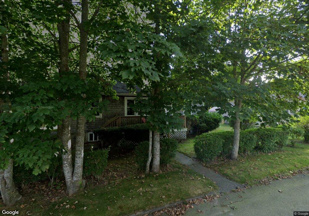
17 Ludlam St Falmouth, MA 02540
Falmouth Village NeighborhoodEstimated Value: $925,729 - $1,370,000
3
Beds
2
Baths
1,501
Sq Ft
$720/Sq Ft
Est. Value
About This Home
This home is located at 17 Ludlam St, Falmouth, MA 02540 and is currently estimated at $1,080,682, approximately $719 per square foot. 17 Ludlam St is a home located in Barnstable County with nearby schools including Mullen-Hall School, Lawrence School, and Morse Pond School.
Ownership History
Date
Name
Owned For
Owner Type
Purchase Details
Closed on
Nov 10, 1994
Sold by
Kleinrock Martin C and Kleinrock Cynthia M
Bought by
Hotchkiss Daniel D and Hotchkiss Frances S
Current Estimated Value
Home Financials for this Owner
Home Financials are based on the most recent Mortgage that was taken out on this home.
Original Mortgage
$126,600
Interest Rate
8.78%
Mortgage Type
Purchase Money Mortgage
Purchase Details
Closed on
Jul 18, 1989
Sold by
Hughes Margaret N
Bought by
Kleinrock Martin C
Create a Home Valuation Report for This Property
The Home Valuation Report is an in-depth analysis detailing your home's value as well as a comparison with similar homes in the area
Home Values in the Area
Average Home Value in this Area
Purchase History
| Date | Buyer | Sale Price | Title Company |
|---|---|---|---|
| Hotchkiss Daniel D | $133,350 | -- | |
| Hotchkiss Daniel D | $133,350 | -- | |
| Kleinrock Martin C | $125,000 | -- |
Source: Public Records
Mortgage History
| Date | Status | Borrower | Loan Amount |
|---|---|---|---|
| Open | Kleinrock Martin C | $167,500 | |
| Closed | Kleinrock Martin C | $168,500 | |
| Closed | Kleinrock Martin C | $126,600 |
Source: Public Records
Tax History Compared to Growth
Tax History
| Year | Tax Paid | Tax Assessment Tax Assessment Total Assessment is a certain percentage of the fair market value that is determined by local assessors to be the total taxable value of land and additions on the property. | Land | Improvement |
|---|---|---|---|---|
| 2025 | $4,221 | $719,000 | $332,200 | $386,800 |
| 2024 | $3,964 | $631,200 | $302,000 | $329,200 |
| 2023 | $3,879 | $560,500 | $302,000 | $258,500 |
| 2022 | $3,936 | $488,900 | $275,400 | $213,500 |
| 2021 | $3,810 | $448,200 | $263,400 | $184,800 |
| 2020 | $3,645 | $424,300 | $239,500 | $184,800 |
| 2019 | $3,588 | $419,200 | $239,500 | $179,700 |
| 2018 | $3,555 | $413,400 | $239,500 | $173,900 |
| 2017 | $3,476 | $407,500 | $239,500 | $168,000 |
| 2016 | $3,408 | $407,200 | $239,500 | $167,700 |
| 2015 | $3,335 | $407,200 | $239,500 | $167,700 |
| 2014 | $3,129 | $383,900 | $217,500 | $166,400 |
Source: Public Records
Map
Nearby Homes
- 57 Meadow Ln
- 133 Mariners Ln
- 276 Shore St
- 71 Main St
- 121 Allen Ave
- 30 Katherine Lee Bates Rd
- 480 Main St Unit 1
- 253 Scranton Ave
- 33 Oakwood Ave
- 13 Two Ponds Rd
- 110 Dillingham Ave Unit 322
- 9 Fairmount Ave Unit 1
- 9 Fairmount Ave Unit 2
- 9 Fairmount Ave
- 63 Two Ponds Rd
- 286 Grand Ave Unit 8
- 286 Grand Ave Unit 6
- 286 Grand Ave Unit 4
- 354 Gifford St Unit 6
- 354 Gifford St Unit 5