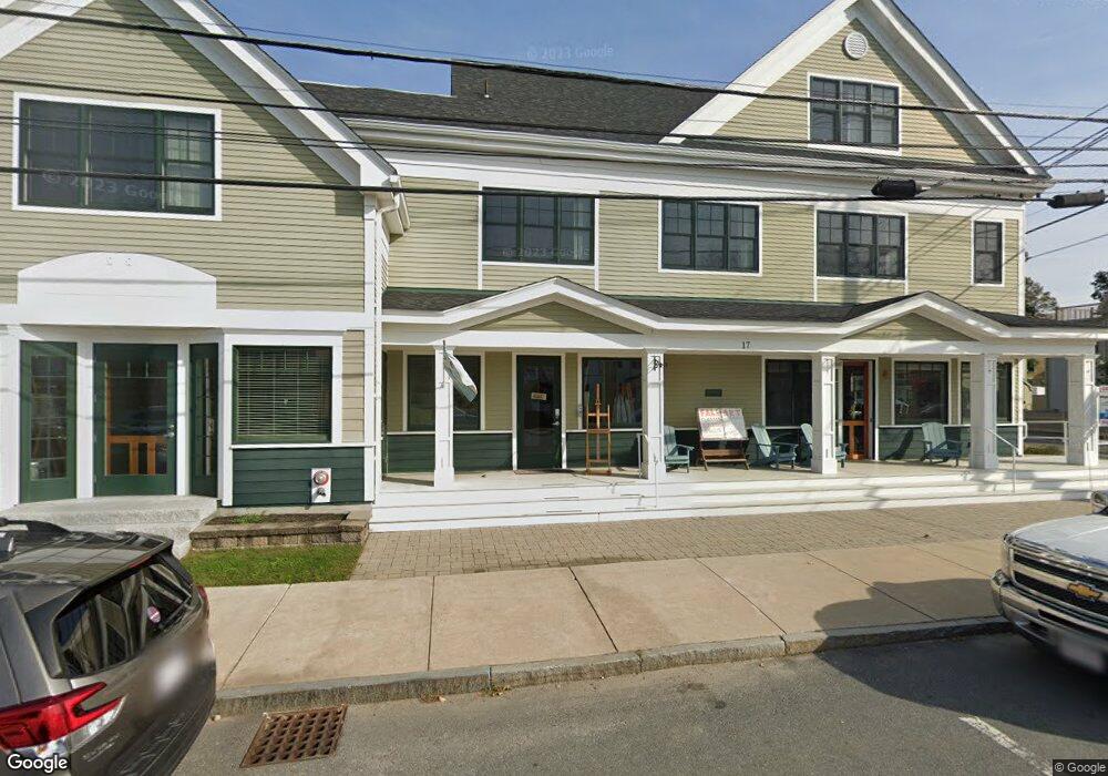
17 Main St Topsfield, MA 01983
Estimated Value: $543,707
1
Bed
4
Baths
1,350
Sq Ft
$403/Sq Ft
Est. Value
About This Home
This home is located at 17 Main St, Topsfield, MA 01983 and is currently estimated at $543,707, approximately $402 per square foot. 17 Main St is a home located in Essex County with nearby schools including Steward Elementary School, Proctor Elementary School, and Masconomet Regional Middle School.
Ownership History
Date
Name
Owned For
Owner Type
Purchase Details
Closed on
Apr 22, 2024
Sold by
Boulder Canyon Llc
Bought by
Unit 1 17 Main Street Llc
Current Estimated Value
Home Financials for this Owner
Home Financials are based on the most recent Mortgage that was taken out on this home.
Original Mortgage
$382,500
Outstanding Balance
$376,785
Interest Rate
6.88%
Mortgage Type
Purchase Money Mortgage
Estimated Equity
$166,922
Purchase Details
Closed on
Nov 14, 2005
Sold by
Spearin Tr Frederic W and Spearin Lois E
Bought by
Riversky Rlty Prtnr Ll
Home Financials for this Owner
Home Financials are based on the most recent Mortgage that was taken out on this home.
Original Mortgage
$300,000
Interest Rate
5.93%
Mortgage Type
Commercial
Create a Home Valuation Report for This Property
The Home Valuation Report is an in-depth analysis detailing your home's value as well as a comparison with similar homes in the area
Home Values in the Area
Average Home Value in this Area
Purchase History
| Date | Buyer | Sale Price | Title Company |
|---|---|---|---|
| Unit 1 17 Main Street Llc | $510,000 | None Available | |
| Unit 1 17 Main Street Llc | $510,000 | None Available | |
| Unit 1 17 Main Street Llc | $510,000 | None Available | |
| Unit 1 17 Main Street Llc | $510,000 | None Available | |
| Riversky Rlty Prtnr Ll | $400,000 | -- |
Source: Public Records
Mortgage History
| Date | Status | Borrower | Loan Amount |
|---|---|---|---|
| Open | Unit 1 17 Main Street Llc | $382,500 | |
| Closed | Unit 1 17 Main Street Llc | $382,500 | |
| Previous Owner | Riversky Rlty Prtnr Ll | $1,200,000 | |
| Previous Owner | Riversky Rlty Prtnr Ll | $300,000 |
Source: Public Records
Tax History Compared to Growth
Tax History
| Year | Tax Paid | Tax Assessment Tax Assessment Total Assessment is a certain percentage of the fair market value that is determined by local assessors to be the total taxable value of land and additions on the property. | Land | Improvement |
|---|---|---|---|---|
| 2025 | $18,918 | $0 | $0 | $0 |
| 2024 | $18,918 | $1,287,800 | $533,300 | $754,500 |
| 2023 | $19,591 | $1,288,900 | $533,300 | $755,600 |
| 2022 | $20,867 | $1,253,300 | $497,700 | $755,600 |
| 2021 | $21,527 | $1,201,300 | $448,000 | $753,300 |
| 2020 | $20,927 | $1,201,300 | $448,000 | $753,300 |
| 2019 | $19,696 | $1,158,600 | $426,600 | $732,000 |
| 2018 | $20,014 | $1,152,900 | $426,600 | $726,300 |
| 2017 | $19,146 | $1,130,900 | $404,600 | $726,300 |
| 2016 | $16,480 | $997,600 | $404,600 | $593,000 |
Source: Public Records
Map
Nearby Homes
- 34 Great Hill Dr Unit 34
- 76 Parsonage Ln
- 27 Brookside Rd
- 223 Perkins Row
- 137 Perkins Row
- 10 Walker Rd
- 117 Perkins Row
- 28 Andrews Farm Rd
- 14 Alderbrook Dr
- 88 Haverhill Rd
- 95 Salem Rd
- 10 Haymeadow Rd
- 52 Wenham Rd
- 84 Hill St
- 4 Wildmeadow Rd
- 34 Wildmeadow Rd
- 20-B Wildmeadow Rd
- 4 Ruby Cir
- Lot 3 Pearl Way
- Lot 1 Pearl Way
- 17 Main St Unit 3
- 17 Main St Unit 2 & 3
- 17 Main St Unit 2
- 17 Main St Unit 1
- 17 Main St Unit 3rd Floor
- 17 Main St Unit 2nd Floor
- 23 Main St
- 23 Main St Unit 3
- 23 Main St Unit 2
- 23 Main St Unit 1
- 6 Central St
- 8 Central St
- 27 Main St
- 5 Central St
- 10 Central St Unit 10-12
- 10 Central St
- 12 Central St
- 14 Central St
- 37 Main St Unit 4
- 37 Main St Unit 3