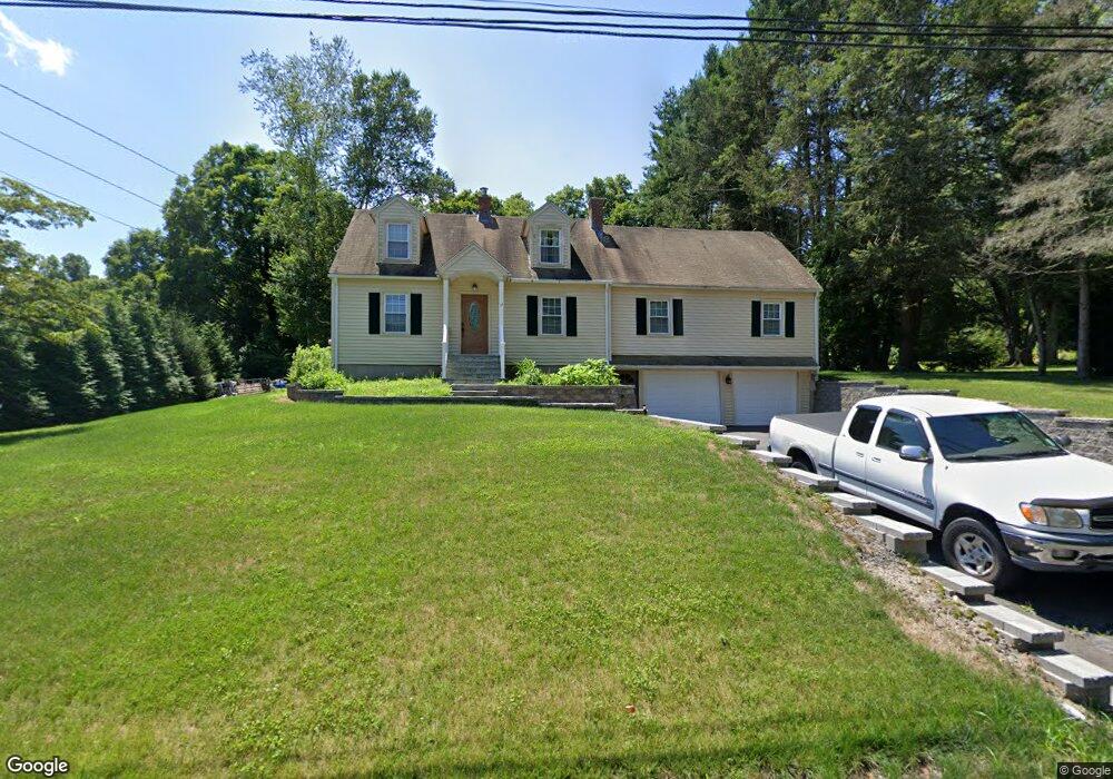
17 Maple Ave W Higganum, CT 06441
Estimated Value: $417,000 - $460,000
4
Beds
3
Baths
2,135
Sq Ft
$203/Sq Ft
Est. Value
About This Home
This home is located at 17 Maple Ave W, Higganum, CT 06441 and is currently estimated at $432,381, approximately $202 per square foot. 17 Maple Ave W is a home located in Middlesex County with nearby schools including Haddam-Killingworth High School.
Ownership History
Date
Name
Owned For
Owner Type
Purchase Details
Closed on
Nov 17, 1997
Sold by
Allen Judith H
Bought by
Hunt Douglsa C and Carta Christine
Current Estimated Value
Home Financials for this Owner
Home Financials are based on the most recent Mortgage that was taken out on this home.
Original Mortgage
$115,100
Interest Rate
7.23%
Mortgage Type
Unknown
Create a Home Valuation Report for This Property
The Home Valuation Report is an in-depth analysis detailing your home's value as well as a comparison with similar homes in the area
Home Values in the Area
Average Home Value in this Area
Purchase History
| Date | Buyer | Sale Price | Title Company |
|---|---|---|---|
| Hunt Douglsa C | $144,000 | -- |
Source: Public Records
Mortgage History
| Date | Status | Borrower | Loan Amount |
|---|---|---|---|
| Closed | Hunt Douglsa C | $25,000 | |
| Closed | Hunt Douglsa C | $140,000 | |
| Closed | Hunt Douglsa C | $115,100 | |
| Previous Owner | Hunt Douglsa C | $56,800 |
Source: Public Records
Tax History Compared to Growth
Tax History
| Year | Tax Paid | Tax Assessment Tax Assessment Total Assessment is a certain percentage of the fair market value that is determined by local assessors to be the total taxable value of land and additions on the property. | Land | Improvement |
|---|---|---|---|---|
| 2025 | $5,842 | $170,070 | $55,440 | $114,630 |
| 2024 | $5,842 | $170,070 | $55,440 | $114,630 |
| 2023 | $5,760 | $170,070 | $55,440 | $114,630 |
| 2022 | $5,498 | $170,070 | $55,440 | $114,630 |
| 2021 | $5,469 | $170,070 | $55,440 | $114,630 |
| 2020 | $5,594 | $176,520 | $61,080 | $115,440 |
| 2019 | $5,594 | $176,520 | $61,080 | $115,440 |
| 2018 | $5,594 | $176,520 | $61,080 | $115,440 |
| 2017 | $5,594 | $176,520 | $61,080 | $115,440 |
| 2016 | $5,507 | $176,520 | $61,080 | $115,440 |
| 2015 | $5,540 | $177,560 | $61,080 | $116,480 |
| 2014 | $5,485 | $177,560 | $61,080 | $116,480 |
Source: Public Records
Map
Nearby Homes
- 32 Maple Ave W
- 86 Christian Hill Rd
- 0 Walkley Hill Rd Unit 24088136
- 16 Walkley Hill Rd
- 0 S Dish Mill Rd Unit 24082788
- 0 Mountain Laurel Dr
- 0 Parmelee Rd
- 120 Chamberlain Hill Rd
- 215 Chamberlain Hill Rd
- 521 Foot Hills Rd
- 25 Island Dock Rd
- 209 Wiese Albert Rd
- 0 Saybrook Rd
- 523 Chamberlain Hill Rd
- 195 Injun Hollow Rd
- 279 Pokorny Rd
- 291 Injun Hollow Rd
- 291 Hog Hill Rd
- 195A Injun Hollow Rd
- 63 Laurel Grove Dr
- 23 Maple Ave W
- 11 Maple Ave W
- 16 Maple Ave W
- 24 Maple Ave W
- 5 Maple Ave W
- 37 Maple Ave W
- 47 Maple Ave W
- 42 Maple Ave W
- 7 Maple Ave W
- 33 Maple Ave W
- 52 Maple Ave W
- 51 Maple Ave W
- 27 Scovil Road Extension
- 141 Candlewood Hill Rd
- 12 Scovil Rd
- 135 Candlewood Hill Rd
- 146 Candlewood Hill Rd
- Lot 2 Maple Ave W
- 61 Maple Ave W
- 4 Leon Burr Rd