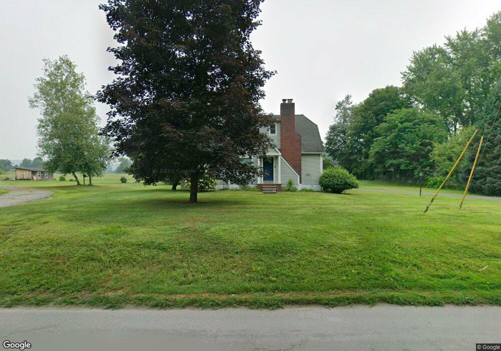
17 Maple Ln Dover Plains, NY 12522
Estimated Value: $305,000 - $375,754
2
Beds
2
Baths
1,188
Sq Ft
$282/Sq Ft
Est. Value
About This Home
This home is located at 17 Maple Ln, Dover Plains, NY 12522 and is currently estimated at $335,439, approximately $282 per square foot. 17 Maple Ln is a home located in Dutchess County with nearby schools including Wingdale Elementary School, Dover Elementary School, and Dover Middle School.
Ownership History
Date
Name
Owned For
Owner Type
Purchase Details
Closed on
Feb 18, 2022
Sold by
Stonge Albert V
Bought by
Merchan Kathy C
Current Estimated Value
Home Financials for this Owner
Home Financials are based on the most recent Mortgage that was taken out on this home.
Original Mortgage
$256,155
Outstanding Balance
$237,859
Interest Rate
3.55%
Mortgage Type
FHA
Estimated Equity
$97,580
Purchase Details
Closed on
Sep 10, 1996
Sold by
Clark Simon
Bought by
St Onge Albert V
Create a Home Valuation Report for This Property
The Home Valuation Report is an in-depth analysis detailing your home's value as well as a comparison with similar homes in the area
Home Values in the Area
Average Home Value in this Area
Purchase History
| Date | Buyer | Sale Price | Title Company |
|---|---|---|---|
| Merchan Kathy C | $265,000 | Fidelity National Title (Aka | |
| St Onge Albert V | $96,500 | -- |
Source: Public Records
Mortgage History
| Date | Status | Borrower | Loan Amount |
|---|---|---|---|
| Open | Merchan Kathy C | $256,155 |
Source: Public Records
Tax History Compared to Growth
Tax History
| Year | Tax Paid | Tax Assessment Tax Assessment Total Assessment is a certain percentage of the fair market value that is determined by local assessors to be the total taxable value of land and additions on the property. | Land | Improvement |
|---|---|---|---|---|
| 2024 | $5,817 | $109,500 | $16,800 | $92,700 |
| 2023 | $5,785 | $109,500 | $16,800 | $92,700 |
| 2022 | $5,813 | $109,500 | $16,800 | $92,700 |
| 2021 | $5,413 | $98,300 | $16,800 | $81,500 |
| 2020 | $5,456 | $98,300 | $16,800 | $81,500 |
| 2019 | $4,669 | $98,300 | $16,800 | $81,500 |
| 2018 | $4,613 | $98,300 | $16,800 | $81,500 |
| 2017 | $4,501 | $98,300 | $16,800 | $81,500 |
| 2016 | $4,591 | $98,300 | $16,800 | $81,500 |
| 2015 | -- | $98,300 | $16,800 | $81,500 |
| 2014 | -- | $98,300 | $16,800 | $81,500 |
Source: Public Records
Map
Nearby Homes
- 39 Maple Ln
- 108 Bluebird Way
- 62 Cardinal Ct
- 9 Whatley Ln
- 140 Dove Dr
- 42 Lime Kiln Rd
- 105 S Nellie Hill Rd
- 0 New York 22
- 105 Sand Hill Rd
- 9 Terbar Ct
- 1297 New York 343
- Northrup Northrup Rd
- 0 Tinker Town Rd
- 56 Northrup Rd
- 40 Glen Ave
- 57 Cedar Berry Ln
- 0 Cart Rd Unit KEYH6268558
- 0 Cart Rd Unit KEY833895
- 565 Halls Corners Rd
- Lot 7 Brookview Rd