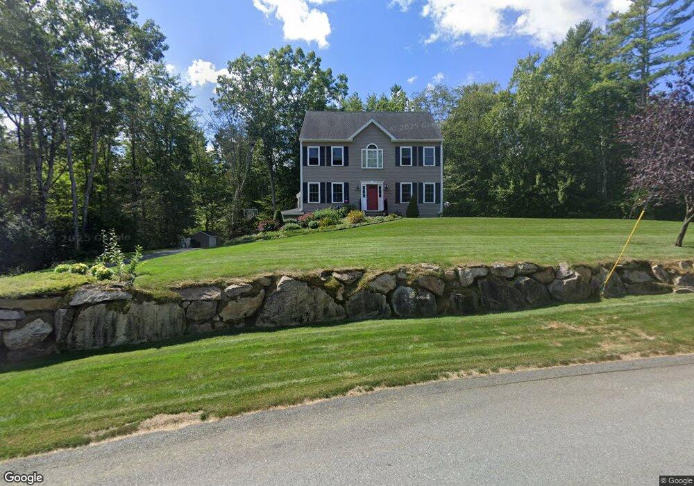
17 Marie's Way East Freetown, MA 02717
Estimated Value: $653,000 - $781,000
4
Beds
3
Baths
2,000
Sq Ft
$368/Sq Ft
Est. Value
About This Home
This home is located at 17 Marie's Way, East Freetown, MA 02717 and is currently estimated at $735,139, approximately $367 per square foot. 17 Marie's Way is a home located in Bristol County with nearby schools including Freetown Elementary School, George R Austin Intermediate School, and Freetown-Lakeville Middle School.
Ownership History
Date
Name
Owned For
Owner Type
Purchase Details
Closed on
Apr 6, 2016
Sold by
Dkw Builders Inc
Bought by
Allen Matthew R and Allen Sarah J
Current Estimated Value
Home Financials for this Owner
Home Financials are based on the most recent Mortgage that was taken out on this home.
Original Mortgage
$335,920
Outstanding Balance
$266,341
Interest Rate
3.62%
Mortgage Type
New Conventional
Estimated Equity
$468,798
Create a Home Valuation Report for This Property
The Home Valuation Report is an in-depth analysis detailing your home's value as well as a comparison with similar homes in the area
Home Values in the Area
Average Home Value in this Area
Purchase History
| Date | Buyer | Sale Price | Title Company |
|---|---|---|---|
| Allen Matthew R | $419,900 | -- | |
| Dkw Builders Inc | -- | -- |
Source: Public Records
Mortgage History
| Date | Status | Borrower | Loan Amount |
|---|---|---|---|
| Open | Allen Matthew R | $335,920 |
Source: Public Records
Tax History Compared to Growth
Tax History
| Year | Tax Paid | Tax Assessment Tax Assessment Total Assessment is a certain percentage of the fair market value that is determined by local assessors to be the total taxable value of land and additions on the property. | Land | Improvement |
|---|---|---|---|---|
| 2025 | $6,528 | $658,700 | $229,900 | $428,800 |
| 2024 | $6,530 | $626,100 | $216,800 | $409,300 |
| 2023 | $6,396 | $597,200 | $195,300 | $401,900 |
| 2022 | $6,140 | $509,100 | $165,400 | $343,700 |
| 2021 | $5,928 | $466,800 | $150,300 | $316,500 |
| 2020 | $5,915 | $454,300 | $144,500 | $309,800 |
| 2019 | $5,695 | $433,100 | $143,200 | $289,900 |
| 2018 | $5,396 | $405,400 | $143,200 | $262,200 |
| 2017 | $5,239 | $393,300 | $143,200 | $250,100 |
| 2016 | $1,678 | $128,200 | $128,200 | $0 |
Source: Public Records
Map
Nearby Homes
- 144 Chace Rd
- 0 Costa Dr
- 24 Bells Brook Rd
- 195 Slab Bridge Rd
- 9 Paul Ave
- 5 Freetown St
- 7 Great Cedar Crossing
- 15 Morrison Way
- 4597 Acushnet Ave
- 599 Quanapoag Rd
- 00 Island Rd
- 269 Middleboro Rd
- 1475 Braley Rd Unit 17
- 120 Hackett Ave
- 150 Quanapoag Rd
- 14 2nd Ave
- Lot 2/3 Quanapoag Rd
- 7 2nd Ave
- 60 Lakeside Ave
- 14 Spruce Rd
- 17 Marie's Way
- 17 Maries Way
- 1 Christopher Dr
- 2 Christopher Dr
- 38 Christopher Dr
- 39 Christopher Dr
- 35 Christopher Dr
- 37 Christopher Dr
- 20 Maries Way
- 20 Marie's Way
- 3 Christopher Dr
- 40 Christopher Dr
- 42 Christopher Dr
- 36 Christopher Dr
- 11 Brewster Dr
- 16 Marie's Way
- 4 1/2 Christopher Dr
- 4 Christopher Dr
- 9 Brewster Dr
- 9 Maries Way Unit 34