17 Marston Rd West Baldwin, ME 04091
Estimated Value: $440,000 - $629,000
3
Beds
2
Baths
2,088
Sq Ft
$236/Sq Ft
Est. Value
About This Home
This home is located at 17 Marston Rd, West Baldwin, ME 04091 and is currently estimated at $491,738, approximately $235 per square foot. 17 Marston Rd is a home.
Ownership History
Date
Name
Owned For
Owner Type
Purchase Details
Closed on
Apr 30, 2024
Sold by
Flint Roy D
Bought by
Flint Aarn D
Current Estimated Value
Home Financials for this Owner
Home Financials are based on the most recent Mortgage that was taken out on this home.
Original Mortgage
$297,558
Outstanding Balance
$293,273
Interest Rate
6.74%
Mortgage Type
Purchase Money Mortgage
Estimated Equity
$198,465
Create a Home Valuation Report for This Property
The Home Valuation Report is an in-depth analysis detailing your home's value as well as a comparison with similar homes in the area
Home Values in the Area
Average Home Value in this Area
Purchase History
| Date | Buyer | Sale Price | Title Company |
|---|---|---|---|
| Flint Aarn D | $400,000 | None Available | |
| Flint Aarn D | $400,000 | None Available |
Source: Public Records
Mortgage History
| Date | Status | Borrower | Loan Amount |
|---|---|---|---|
| Open | Flint Aarn D | $297,558 | |
| Closed | Flint Aarn D | $297,558 |
Source: Public Records
Tax History Compared to Growth
Tax History
| Year | Tax Paid | Tax Assessment Tax Assessment Total Assessment is a certain percentage of the fair market value that is determined by local assessors to be the total taxable value of land and additions on the property. | Land | Improvement |
|---|---|---|---|---|
| 2024 | $5,319 | $330,400 | $35,100 | $295,300 |
| 2023 | $4,682 | $330,400 | $35,100 | $295,300 |
| 2022 | $4,104 | $330,400 | $35,100 | $295,300 |
| 2021 | $4,295 | $330,400 | $35,100 | $295,300 |
| 2020 | $4,500 | $330,400 | $35,100 | $295,300 |
Source: Public Records
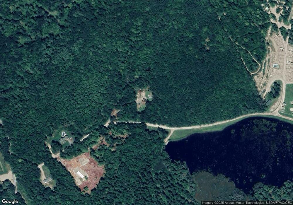
Map
Nearby Homes
- 11 Marston Rd
- 174 Marston Rd
- 992 Pequawket Trail
- lot 29 Saddleback Rd
- 8 Graffam Rd
- 30 Graffam Rd
- 6-13 Main St
- 30 Waterfront Dr
- 4 Bridge St
- 20 Main St
- 22 High Rd
- 10 Kaye Ln
- 96 Maple St
- 10 Heart Rd
- Lot 1-B 1 Sebago Rd
- 696 S Hiram Rd
- Lot #3 Jordan Heights Rd
- Lot #2 Jordan Heights Rd
- Lot #11 Jordan Heights Rd
- Lot #4 Jordan Heights Rd
- 2 Upper Twain Rd
- 0 Off Marston Rd Unit 1253659
- 0 Off Marston Rd Unit 1218552
- 0 Off Marston Rd Unit 1083154
- 133 Senator Black Rd
- 126 Senator Black Rd
- 87 Senator Black Rd
- 145 Senator Black Rd
- 156 Senator Black Rd
- 86 Senator Black Rd
- 00 Marston Rd
- 80 Senator Black Rd
- 76 Senator Black Rd
- 73 Senator Black Rd
- 159 Senator Black Rd
- 0 Marston Rd Unit 1560049
- 0 Marston Rd Unit 1127011
- 0 Marston Rd Unit 1131593
- 0 Marston Rd Unit 1210028
- 0 Marston Rd Unit 1372198