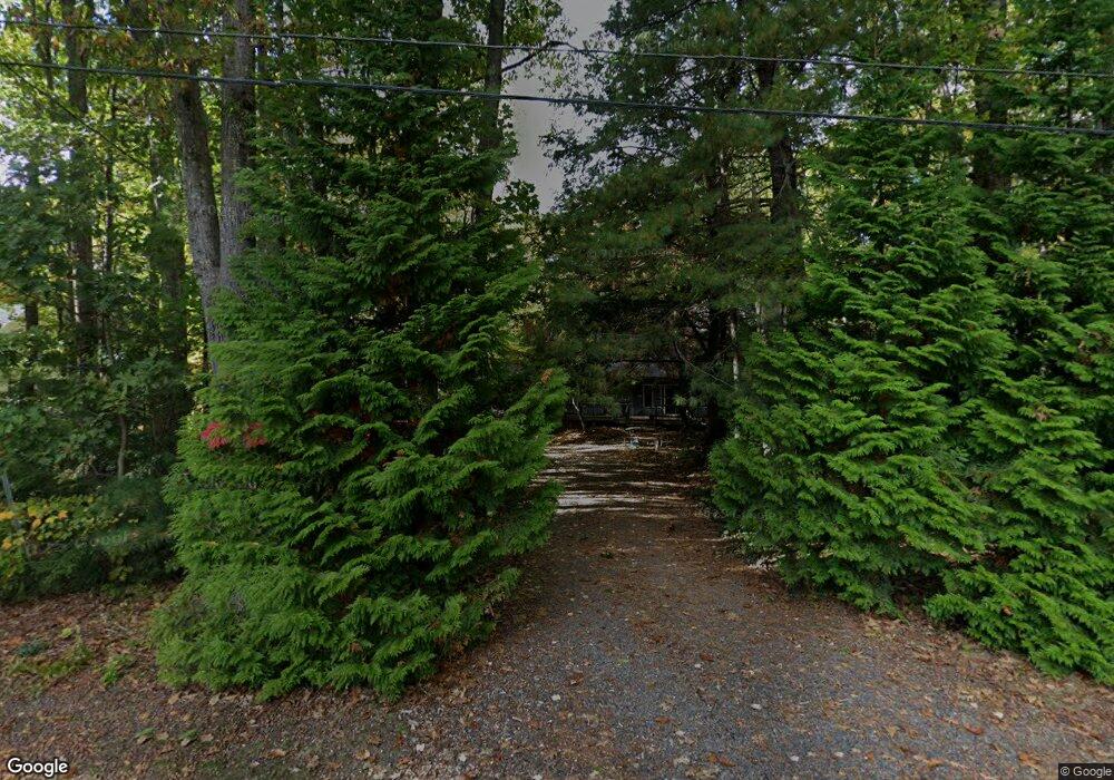
17 Martin Ave Scarborough, ME 04074
Estimated Value: $531,000 - $650,000
3
Beds
2
Baths
1,542
Sq Ft
$387/Sq Ft
Est. Value
About This Home
This home is located at 17 Martin Ave, Scarborough, ME 04074 and is currently estimated at $596,050, approximately $386 per square foot. 17 Martin Ave is a home located in Cumberland County with nearby schools including Scarborough High School and Cornerstone Baptist Academy.
Ownership History
Date
Name
Owned For
Owner Type
Purchase Details
Closed on
Jul 10, 2006
Sold by
Lehto Neal and Lehto Nancy
Bought by
Llm Llc
Current Estimated Value
Create a Home Valuation Report for This Property
The Home Valuation Report is an in-depth analysis detailing your home's value as well as a comparison with similar homes in the area
Home Values in the Area
Average Home Value in this Area
Purchase History
| Date | Buyer | Sale Price | Title Company |
|---|---|---|---|
| Llm Llc | -- | -- |
Source: Public Records
Tax History Compared to Growth
Tax History
| Year | Tax Paid | Tax Assessment Tax Assessment Total Assessment is a certain percentage of the fair market value that is determined by local assessors to be the total taxable value of land and additions on the property. | Land | Improvement |
|---|---|---|---|---|
| 2024 | $5,595 | $511,900 | $163,000 | $348,900 |
| 2023 | $5,543 | $347,100 | $115,900 | $231,200 |
| 2022 | $5,342 | $347,100 | $115,900 | $231,200 |
| 2021 | $5,213 | $347,100 | $115,900 | $231,200 |
| 2020 | $233 | $347,100 | $115,900 | $231,200 |
| 2019 | $233 | $347,100 | $115,900 | $231,200 |
| 2017 | $4,907 | $297,600 | $167,800 | $129,800 |
| 2016 | $4,738 | $297,600 | $167,800 | $129,800 |
| 2015 | $4,610 | $297,600 | $167,800 | $129,800 |
| 2014 | $4,974 | $339,400 | $209,600 | $129,800 |
| 2013 | -- | $339,400 | $209,600 | $129,800 |
Source: Public Records
Map
Nearby Homes
- 19 Paulsen Dr
- 1 Griffin Rd
- 626 Us Route 1
- 9 Paulsen Dr
- 10 Foxwell Dr
- 149 Stewart Dr
- 153 Stewart Dr
- 192 Stewart Dr
- 159 Stewart Dr
- 90 Broadturn Rd Unit 9
- 91 B Broadturn Rd
- 96C Broadturn Rd
- 31 Old Blue Point Rd
- Lot 5 Jean's Way
- 4 Lodge Dr
- 79 Creeks Edge Dr
- 81 Creeks Edge Dr
- 77 Creeks Edge Dr
- 994 Portland Rd Unit 14
- 994 Portland Rd Unit 4