17 Matt Hoxie Trail Plymouth, MA 02360
The Pinehills NeighborhoodEstimated Value: $745,000 - $923,000
2
Beds
3
Baths
1,976
Sq Ft
$405/Sq Ft
Est. Value
About This Home
This home is located at 17 Matt Hoxie Trail, Plymouth, MA 02360 and is currently estimated at $799,394, approximately $404 per square foot. 17 Matt Hoxie Trail is a home located in Plymouth County with nearby schools including Nathaniel Morton Elementary School, Plymouth Community Intermediate, and Plymouth North High School.
Ownership History
Date
Name
Owned For
Owner Type
Purchase Details
Closed on
Dec 27, 2016
Sold by
Murphy William D and Murphy Barbara A
Bought by
Murphy William D
Current Estimated Value
Purchase Details
Closed on
Jul 31, 2007
Sold by
Gp Pines Llc and Kurson Donald K
Bought by
Murphy William D and Murphy Barbara A
Create a Home Valuation Report for This Property
The Home Valuation Report is an in-depth analysis detailing your home's value as well as a comparison with similar homes in the area
Home Values in the Area
Average Home Value in this Area
Purchase History
| Date | Buyer | Sale Price | Title Company |
|---|---|---|---|
| Murphy William D | -- | -- | |
| Murphy William D | $517,005 | -- |
Source: Public Records
Mortgage History
| Date | Status | Borrower | Loan Amount |
|---|---|---|---|
| Previous Owner | Murphy William D | $200,000 |
Source: Public Records
Tax History Compared to Growth
Tax History
| Year | Tax Paid | Tax Assessment Tax Assessment Total Assessment is a certain percentage of the fair market value that is determined by local assessors to be the total taxable value of land and additions on the property. | Land | Improvement |
|---|---|---|---|---|
| 2025 | $8,106 | $638,800 | $0 | $638,800 |
| 2024 | $7,709 | $599,000 | $0 | $599,000 |
| 2023 | $7,550 | $550,700 | $0 | $550,700 |
| 2022 | $7,352 | $476,500 | $0 | $476,500 |
| 2021 | $7,750 | $479,600 | $0 | $479,600 |
| 2020 | $7,696 | $470,700 | $0 | $470,700 |
| 2019 | $7,627 | $461,100 | $0 | $461,100 |
| 2018 | $7,639 | $464,100 | $0 | $464,100 |
| 2017 | $7,473 | $450,700 | $0 | $450,700 |
| 2016 | $7,180 | $441,300 | $0 | $441,300 |
| 2015 | $6,674 | $429,500 | $0 | $429,500 |
| 2014 | $6,364 | $420,600 | $0 | $420,600 |
Source: Public Records
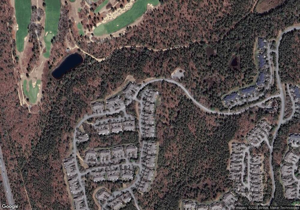
Map
Nearby Homes
- 61 Bradstreete Crossing
- 1 Matt Hoxie Trail
- 11 Butten Mews
- 125 Bradstreete Crossing
- 22 Old Langmore Way
- 30 Dillingham Way Unit 30
- 39 Pelham Walk
- 53 Standing Rock
- 6 Wayside Path
- 48 Great Kame
- 19 Ludlow Trail
- 11 Great Kame
- 40 Great Kame
- 18 Great Kame
- 7 Muirfield Unit 7
- 36 Barnswallow Ln
- 9 Stones Throw
- 12 Stones Throw
- 4 Inverness Ln Unit 4
- 30 Muirfield Unit 30
- 15 Matt Hoxie Trail
- 11 Matt Hoxie Trail
- 9 Matt Hoxie Trail
- 7 Matt Hoxie Trail
- 19 Matt Hoxie Trail
- 19 Matt Hoxie Trail Unit 19
- 23 Matt Hoxie Trail
- 21 Matt Hoxie Trail
- 5 Matt Hoxie Trail
- 3 Matt Hoxie Trail
- 71 Bradstreete Crossing
- 69 Bradstreete Crossing
- 67 Bradstreete Crossing
- 6 Hutchens Mews
- 4 Hutchens Mews
- 2 Hutchens Mews
- 2 Hutchens Mews Unit 2
- 59 Bradstreete Crossing
- 57 Bradstreete Crossing
- 79 Bradstreete Crossing