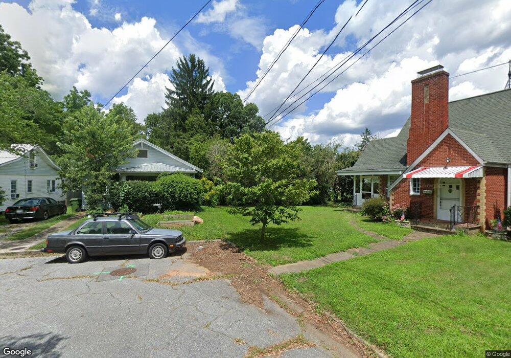
17 McGlamery Ln Asheville, NC 28806
West Asheville NeighborhoodEstimated Value: $474,000 - $606,000
3
Beds
2
Baths
1,312
Sq Ft
$407/Sq Ft
Est. Value
About This Home
This home is located at 17 McGlamery Ln, Asheville, NC 28806 and is currently estimated at $533,499, approximately $406 per square foot. 17 McGlamery Ln is a home located in Buncombe County with nearby schools including Hall Fletcher Elementary, Isaac Dickson Elementary, and Ira B Jones Elementary.
Ownership History
Date
Name
Owned For
Owner Type
Purchase Details
Closed on
Mar 4, 2009
Sold by
Houses By Design Inc
Bought by
Eisenhower Michael B and Eisenhower Crystal V
Current Estimated Value
Home Financials for this Owner
Home Financials are based on the most recent Mortgage that was taken out on this home.
Original Mortgage
$146,213
Outstanding Balance
$93,757
Interest Rate
5.29%
Mortgage Type
VA
Estimated Equity
$439,742
Create a Home Valuation Report for This Property
The Home Valuation Report is an in-depth analysis detailing your home's value as well as a comparison with similar homes in the area
Home Values in the Area
Average Home Value in this Area
Purchase History
| Date | Buyer | Sale Price | Title Company |
|---|---|---|---|
| Eisenhower Michael B | $181,000 | None Available |
Source: Public Records
Mortgage History
| Date | Status | Borrower | Loan Amount |
|---|---|---|---|
| Open | Eisenhower Michael B | $146,213 |
Source: Public Records
Tax History Compared to Growth
Tax History
| Year | Tax Paid | Tax Assessment Tax Assessment Total Assessment is a certain percentage of the fair market value that is determined by local assessors to be the total taxable value of land and additions on the property. | Land | Improvement |
|---|---|---|---|---|
| 2025 | $2,802 | $316,200 | $115,900 | $200,300 |
| 2024 | $2,802 | $316,200 | $115,900 | $200,300 |
| 2023 | $2,802 | $316,200 | $115,900 | $200,300 |
| 2022 | $3,153 | $316,200 | $0 | $0 |
| 2021 | $3,153 | $316,200 | $0 | $0 |
| 2020 | $2,737 | $253,900 | $0 | $0 |
| 2019 | $2,737 | $253,900 | $0 | $0 |
| 2018 | $2,737 | $253,900 | $0 | $0 |
| 2017 | $2,762 | $174,400 | $0 | $0 |
| 2016 | $2,143 | $174,400 | $0 | $0 |
| 2015 | $2,143 | $174,400 | $0 | $0 |
| 2014 | $2,117 | $174,400 | $0 | $0 |
Source: Public Records
Map
Nearby Homes
- 56 Brevard Rd
- 18 Sand Hill Rd
- 30 Sand Hill Rd
- 18 Jarrett St
- 55 Herron Ave
- 31 Oakwood St
- 75 Nevada Ave
- 91 Virginia Ave
- 99 Nevada Ave
- 54 Louisiana Ave
- 43 Vermont Ct Unit D14
- 68 1/2 Nevada Ave
- 32 Harnett St
- 20 Cloyes St
- 197 Brucemont Cir
- 9999 Rex Dr
- 12 Rex Dr
- 12 & 9999 Rex Dr
- 60 Dorchester Ave
- 89 Galax Ave
- 11 McGlamery Ln
- 24 Vance Crescent St
- 20 Vance Crescent St
- 25 Brevard Rd
- 21 Brevard Rd
- 16 Vance Crescent St
- 12 Vance Crescent St
- 19 Brevard Rd
- 29 Brevard Rd
- 35 Brevard Rd
- 16 Brevard Rd
- 30 Vermont Ave
- 28 Vermont Ave
- 34 Vermont Ave
- 40 Vermont Ave
- 8 Vermont Ave
- 41 Brevard Rd
- 23 & 15 Vance Crescent St
- 42 Vermont Ave
- 6 Vermont Ave