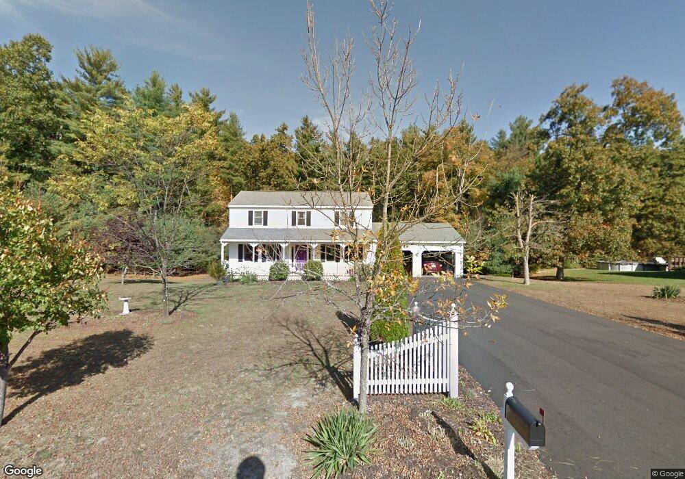
17 Memory Ln Palmer, MA 01069
Estimated Value: $383,000 - $558,000
3
Beds
2
Baths
1,728
Sq Ft
$255/Sq Ft
Est. Value
About This Home
This home is located at 17 Memory Ln, Palmer, MA 01069 and is currently estimated at $439,992, approximately $254 per square foot. 17 Memory Ln is a home located in Hampden County with nearby schools including Old Mill Pond Elementary School, Converse Middle School, and Palmer High School.
Ownership History
Date
Name
Owned For
Owner Type
Purchase Details
Closed on
Aug 30, 1996
Sold by
Mark J Hooper Ent Inc
Bought by
Parylak John P and Parylak Christine A
Current Estimated Value
Home Financials for this Owner
Home Financials are based on the most recent Mortgage that was taken out on this home.
Original Mortgage
$128,700
Outstanding Balance
$11,032
Interest Rate
8.18%
Mortgage Type
Purchase Money Mortgage
Estimated Equity
$428,960
Create a Home Valuation Report for This Property
The Home Valuation Report is an in-depth analysis detailing your home's value as well as a comparison with similar homes in the area
Home Values in the Area
Average Home Value in this Area
Purchase History
| Date | Buyer | Sale Price | Title Company |
|---|---|---|---|
| Parylak John P | $143,000 | -- | |
| Parylak John P | $143,000 | -- |
Source: Public Records
Mortgage History
| Date | Status | Borrower | Loan Amount |
|---|---|---|---|
| Open | Parylak John P | $128,700 | |
| Closed | Parylak John P | $128,700 |
Source: Public Records
Tax History
| Year | Tax Paid | Tax Assessment Tax Assessment Total Assessment is a certain percentage of the fair market value that is determined by local assessors to be the total taxable value of land and additions on the property. | Land | Improvement |
|---|---|---|---|---|
| 2025 | $5,873 | $323,600 | $63,400 | $260,200 |
| 2024 | $5,552 | $297,400 | $57,500 | $239,900 |
| 2023 | $5,402 | $277,900 | $57,500 | $220,400 |
| 2022 | $5,399 | $252,300 | $50,600 | $201,700 |
| 2021 | $4,913 | $217,100 | $56,100 | $161,000 |
| 2020 | $4,742 | $208,000 | $56,100 | $151,900 |
| 2019 | $4,605 | $208,000 | $56,100 | $151,900 |
| 2018 | $4,458 | $201,900 | $54,400 | $147,500 |
| 2017 | $4,355 | $201,900 | $54,400 | $147,500 |
| 2016 | $4,203 | $197,600 | $52,700 | $144,900 |
| 2015 | $4,076 | $197,600 | $52,700 | $144,900 |
Source: Public Records
Map
Nearby Homes
- 405 Shearer St
- Lots 39-42 Lawrence
- 62-91 Lawrence St
- 7,37,38 Thorndike and Lawrence St
- 0 St Unit 73414881
- Lot 14 Center St
- 140 Shearer St
- 101 Ware St
- 0 Old Warren Rd
- 142,148 Breckenridge St
- Lot 8 Breckenridge St
- 248 Ware St
- 15 Michael Dr Unit 15
- 34 Commercial St
- 1682 N Main St
- 22 Pine View
- Lot 34 Old Warren Rd
- 54-57 Breton and Calkins Rd
- 15 Quaboag Valley Co-Op St Unit 15
- 2034 Pleasant St
- 15 Memory Ln
- 18 Memory Ln
- 19 Memory Ln
- 20 Memory Ln
- 10 Birch Hill Rd
- 16 Memory Ln
- 11 Desimone Dr
- 8 Birch Hill Rd
- 12 Birch Hill Rd
- 9 Desimone Dr
- 6 Birch Hill Rd
- 14 Memory Ln
- 6-10 Birch Hill Rd
- 7 Desimone Dr
- Lot 8 & 9 Birch Hill Rd
- Lot 9 Birch Hill Rd
- Lot 8 Birch Hill Rd
- 4 Birch Hill Rd
- 9 Birch Hill Rd
- 11 Birch Hill Rd
Your Personal Tour Guide
Ask me questions while you tour the home.