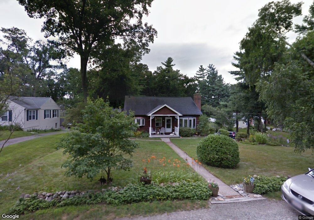
17 Merrill Rd Wilbraham, MA 01095
Estimated Value: $397,846 - $454,000
5
Beds
2
Baths
1,896
Sq Ft
$227/Sq Ft
Est. Value
About This Home
This home is located at 17 Merrill Rd, Wilbraham, MA 01095 and is currently estimated at $430,462, approximately $227 per square foot. 17 Merrill Rd is a home located in Hampden County with nearby schools including Minnechaug Regional High School and Wilbraham & Monson Academy.
Ownership History
Date
Name
Owned For
Owner Type
Purchase Details
Closed on
Mar 2, 2015
Sold by
Dorsey Holly A
Bought by
Dorsey Holly A and Dorsey Kevin P
Current Estimated Value
Purchase Details
Closed on
Feb 13, 2015
Sold by
Dorsey Holly A
Bought by
Dorsey Holly A and Dorsey Kevin E
Purchase Details
Closed on
Apr 3, 2013
Sold by
Menard Theresa M
Bought by
Dorsey Holly A
Create a Home Valuation Report for This Property
The Home Valuation Report is an in-depth analysis detailing your home's value as well as a comparison with similar homes in the area
Home Values in the Area
Average Home Value in this Area
Purchase History
| Date | Buyer | Sale Price | Title Company |
|---|---|---|---|
| Dorsey Holly A | -- | -- | |
| Dorsey Holly A | -- | -- | |
| Dorsey Holly A | -- | -- |
Source: Public Records
Tax History Compared to Growth
Tax History
| Year | Tax Paid | Tax Assessment Tax Assessment Total Assessment is a certain percentage of the fair market value that is determined by local assessors to be the total taxable value of land and additions on the property. | Land | Improvement |
|---|---|---|---|---|
| 2025 | $5,711 | $319,400 | $80,200 | $239,200 |
| 2024 | $5,143 | $278,000 | $80,200 | $197,800 |
| 2023 | $4,991 | $260,300 | $80,200 | $180,100 |
| 2022 | $4,991 | $243,600 | $80,200 | $163,400 |
| 2021 | $4,629 | $201,600 | $81,600 | $120,000 |
| 2020 | $4,512 | $201,600 | $81,600 | $120,000 |
| 2019 | $4,395 | $201,600 | $81,600 | $120,000 |
| 2018 | $4,261 | $188,200 | $81,600 | $106,600 |
| 2017 | $4,140 | $188,200 | $81,600 | $106,600 |
| 2016 | $3,845 | $178,000 | $81,000 | $97,000 |
| 2015 | $3,717 | $178,000 | $81,000 | $97,000 |
Source: Public Records
Map
Nearby Homes
- 2 Vista Rd
- 54 High Pine Cir
- 79 High Pine Cir
- 69 High Pine Cir
- 35 Lake Dr
- 20 Old Orchard Rd
- 4 Hillcrest Dr
- 182 Mountain Rd
- 474-480 Mountain Rd
- 28 Decorie Dr
- 2 Bayberry Dr Unit 51
- 474 Mountain Rd
- 46 Washington Rd
- 8 Patriot Ridge Ln
- 88-90 Miller St
- 6 Hilltop Park
- 12 Highridge Rd
- 603 Glendale Rd
- 6 Teak Terrace Unit 24
- 38 King Dr