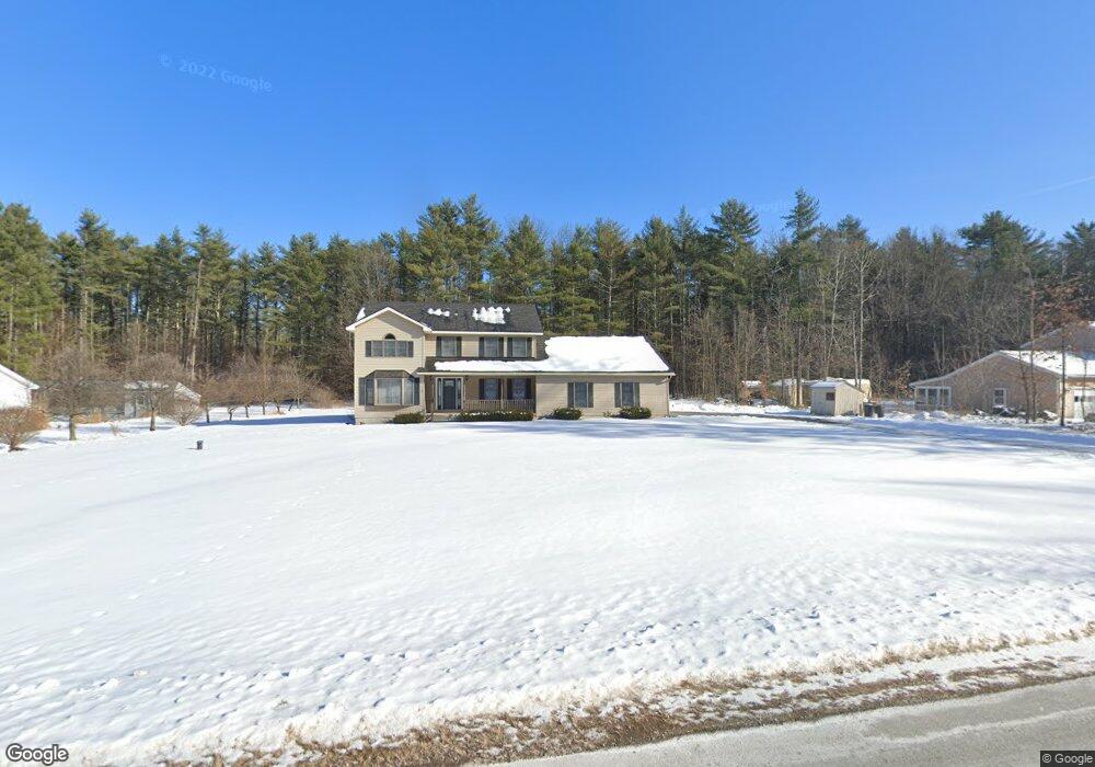
17 Michael Rd Fort Edward, NY 12828
Moreau NeighborhoodEstimated Value: $438,000 - $538,000
3
Beds
3
Baths
2,424
Sq Ft
$201/Sq Ft
Est. Value
About This Home
This home is located at 17 Michael Rd, Fort Edward, NY 12828 and is currently estimated at $486,109, approximately $200 per square foot. 17 Michael Rd is a home located in Saratoga County.
Create a Home Valuation Report for This Property
The Home Valuation Report is an in-depth analysis detailing your home's value as well as a comparison with similar homes in the area
Home Values in the Area
Average Home Value in this Area
Tax History
| Year | Tax Paid | Tax Assessment Tax Assessment Total Assessment is a certain percentage of the fair market value that is determined by local assessors to be the total taxable value of land and additions on the property. | Land | Improvement |
|---|---|---|---|---|
| 2025 | $4,715 | $385,000 | $60,000 | $325,000 |
| 2024 | $5,074 | $360,000 | $55,000 | $305,000 |
| 2023 | $5,033 | $329,000 | $55,000 | $274,000 |
| 2022 | $4,681 | $299,000 | $43,700 | $255,300 |
| 2021 | $4,417 | $265,000 | $43,700 | $221,300 |
| 2020 | $7,689 | $245,000 | $43,700 | $201,300 |
| 2019 | $3,249 | $245,000 | $43,700 | $201,300 |
| 2018 | $3,205 | $245,000 | $43,700 | $201,300 |
| 2017 | $4,204 | $245,000 | $43,700 | $201,300 |
| 2016 | $3,949 | $245,000 | $43,700 | $201,300 |
| 2015 | -- | $245,000 | $43,700 | $201,300 |
| 2014 | -- | $245,000 | $43,700 | $201,300 |
Source: Public Records
Map
Nearby Homes
- 8 Coriander Dr
- 393 Reynolds Rd
- 550 E Selfridge Rd
- 414 Reynolds Rd
- 126 White Birch Estates
- 478 Selfridge Rd
- 262 White Birch Estates Unit 262
- 234 White Birch Estates Unit 234
- 347 Diane Ln
- 364 Gansevoort Rd
- 25 Kimberly Ln
- 330 Selfridge Rd
- L46A Reynolds Rd
- 4 Big Bay Rd
- 170 Redmond Rd Unit 172
- 191 Redmond Rd
- 12 Bluebird Rd
- 12 Old Bend Rd
- 344 Fortsville Rd
- 34 Woodlawn Ave
Your Personal Tour Guide
Ask me questions while you tour the home.