17 Mike Rd Litchfield, CT 06759
Estimated Value: $807,000 - $1,370,000
4
Beds
4
Baths
3,602
Sq Ft
$280/Sq Ft
Est. Value
About This Home
This home is located at 17 Mike Rd, Litchfield, CT 06759 and is currently estimated at $1,009,981, approximately $280 per square foot. 17 Mike Rd is a home with nearby schools including Center School, Litchfield Intermediate School, and Litchfield High School.
Ownership History
Date
Name
Owned For
Owner Type
Purchase Details
Closed on
Aug 29, 2012
Sold by
Arnold Thomas and Arnold Kristen
Bought by
Orr Douglas and Orr Kathleen
Current Estimated Value
Purchase Details
Closed on
Mar 30, 2010
Sold by
Arnold Thomas
Bought by
Miller Tr Sharon
Purchase Details
Closed on
Nov 19, 2009
Sold by
Bessemen T and Seherr-Thoss Sonia
Bought by
Arnold Thomas and Arnold Kristen
Create a Home Valuation Report for This Property
The Home Valuation Report is an in-depth analysis detailing your home's value as well as a comparison with similar homes in the area
Home Values in the Area
Average Home Value in this Area
Purchase History
| Date | Buyer | Sale Price | Title Company |
|---|---|---|---|
| Orr Douglas | $143,500 | -- | |
| Miller Tr Sharon | $90,000 | -- | |
| Arnold Thomas | $175,000 | -- |
Source: Public Records
Mortgage History
| Date | Status | Borrower | Loan Amount |
|---|---|---|---|
| Open | Arnold Thomas | $417,000 | |
| Closed | Arnold Thomas | $20,000 | |
| Closed | Arnold Thomas | $417,000 |
Source: Public Records
Tax History
| Year | Tax Paid | Tax Assessment Tax Assessment Total Assessment is a certain percentage of the fair market value that is determined by local assessors to be the total taxable value of land and additions on the property. | Land | Improvement |
|---|---|---|---|---|
| 2025 | $9,667 | $483,360 | $99,330 | $384,030 |
| 2024 | $8,942 | $483,360 | $99,330 | $384,030 |
| 2023 | $9,282 | $347,650 | $88,300 | $259,350 |
| 2022 | $9,317 | $347,650 | $88,300 | $259,350 |
| 2021 | $9,595 | $347,650 | $88,300 | $259,350 |
| 2020 | $9,630 | $347,650 | $88,300 | $259,350 |
| 2019 | $9,804 | $347,650 | $88,300 | $259,350 |
| 2018 | $10,329 | $372,880 | $95,480 | $277,400 |
| 2017 | $10,291 | $372,880 | $95,480 | $277,400 |
| 2016 | $9,956 | $372,880 | $95,480 | $277,400 |
| 2015 | -- | $372,880 | $95,480 | $277,400 |
| 2014 | $2,406 | $95,480 | $95,480 | $0 |
Source: Public Records
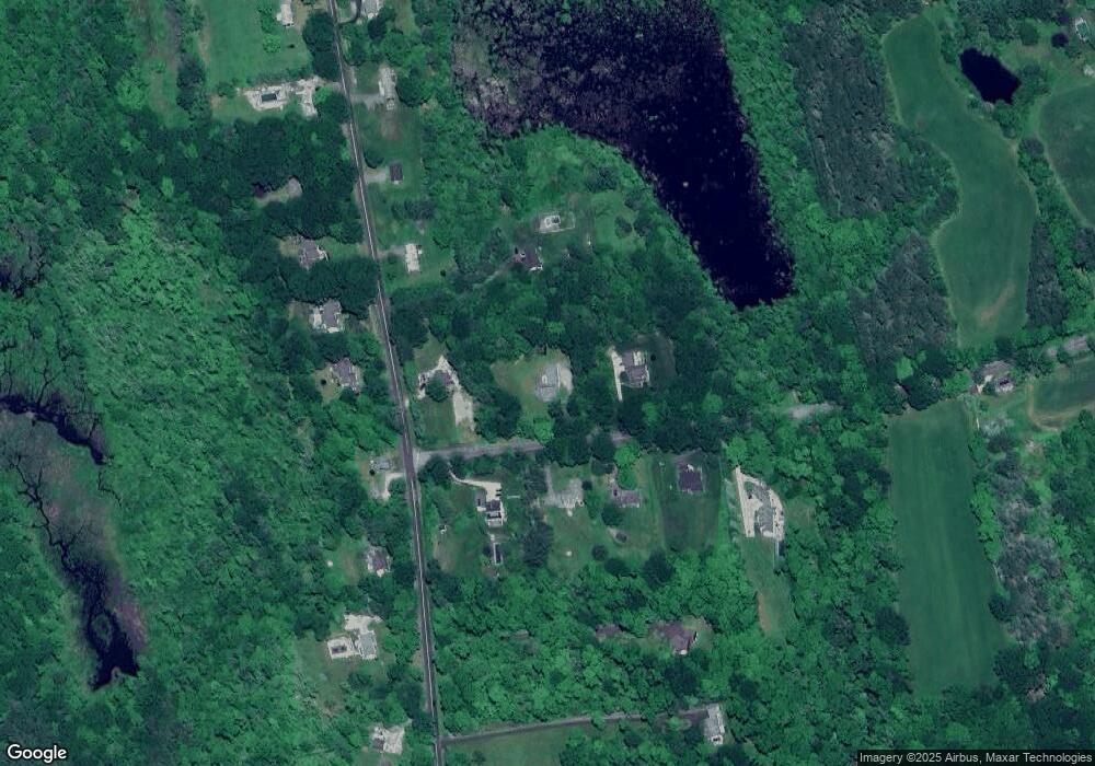
Map
Nearby Homes
- 204 Goodhouse Rd
- 403 Beach St
- 0 Brynmoor Ct Unit WL Lot 556
- 618 Beach St
- 68 Paxton Ct
- 28 Headquarters Rd
- 552 Milton Rd
- 421 E Hyerdale Dr
- 187 Sherbrook Dr
- 8 Sherbrook Dr
- 124 North St
- 91 North St
- 00 Torrington Rd
- 1657 Weed Rd
- 44 South St
- 700 Bantam Rd
- 56 Reservoir Rd
- 28 Trumbull St
- 0 Reservoir Rd and Pie Hill Rd Rd
- 161 Circle Dr