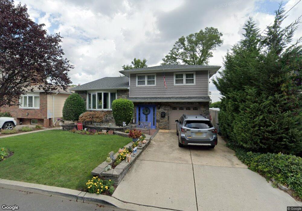
17 Millridge Rd Secaucus, NJ 07094
Estimated Value: $800,004 - $1,023,000
Studio
--
Bath
2,936
Sq Ft
$303/Sq Ft
Est. Value
About This Home
This home is located at 17 Millridge Rd, Secaucus, NJ 07094 and is currently estimated at $890,251, approximately $303 per square foot. 17 Millridge Rd is a home located in Hudson County with nearby schools including Secaucus High School.
Ownership History
Date
Name
Owned For
Owner Type
Purchase Details
Closed on
Nov 16, 1993
Sold by
Powers James
Bought by
Gonnelli Michael and Gonnelli Linad
Current Estimated Value
Home Financials for this Owner
Home Financials are based on the most recent Mortgage that was taken out on this home.
Original Mortgage
$217,000
Interest Rate
6.77%
Mortgage Type
Purchase Money Mortgage
Create a Home Valuation Report for This Property
The Home Valuation Report is an in-depth analysis detailing your home's value as well as a comparison with similar homes in the area
Home Values in the Area
Average Home Value in this Area
Purchase History
| Date | Buyer | Sale Price | Title Company |
|---|---|---|---|
| Gonnelli Michael | $271,500 | -- |
Source: Public Records
Mortgage History
| Date | Status | Borrower | Loan Amount |
|---|---|---|---|
| Closed | Gonnelli Michael | $217,000 |
Source: Public Records
Tax History
| Year | Tax Paid | Tax Assessment Tax Assessment Total Assessment is a certain percentage of the fair market value that is determined by local assessors to be the total taxable value of land and additions on the property. | Land | Improvement |
|---|---|---|---|---|
| 2024 | $9,164 | $230,900 | $88,000 | $142,900 |
Source: Public Records
Map
Nearby Homes
- 32 Luhman Terrace
- 1133 Stonewall Ln
- 6 Creekside Ct
- 27 Creekside Ct
- 1074 Garry Terrace
- 4 Marianne Terrace
- 9 Marina Key
- 369 Hops Ln
- 1033 Park Dr
- 1625 Paterson Plank Rd Unit 1
- 1625 Paterson Plank Rd Unit 9
- 8 Fairview Ave
- 241 Grace Ave
- 25 Jacob's Landing Way
- 298 Julianne Terrace
- 24 Valley Ct
- 40 Valley Ct
- 2 Radio Ave Unit C12
- 842 7th St
- 840 Roosevelt Ave
- 19 Millridge Rd
- 21 Millridge Rd
- 13 Millridge Rd
- 23 Millridge Rd
- 9 Millridge Rd
- 25 Millridge Rd
- 48 Luhman Terrace
- 27 Millridge Rd
- 46 Luhman Terrace
- 7 Millridge Rd
- 29 Millridge Rd
- 44 Luhman Terrace
- 5 Millridge Rd
- 42 Luhman Terrace
- 47 Luhman Terrace
- 45 Luhman Terrace
- 31 Millridge Rd
- 3 Millridge Rd
- 40 Luhman Terrace
- 43 Luhman Terrace
Your Personal Tour Guide
Ask me questions while you tour the home.