17 Minardi Dr Hogansville, GA 30230
Estimated Value: $71,978 - $917,000
3
Beds
2
Baths
1,680
Sq Ft
$191/Sq Ft
Est. Value
About This Home
This home is located at 17 Minardi Dr, Hogansville, GA 30230 and is currently estimated at $321,495, approximately $191 per square foot. 17 Minardi Dr is a home with nearby schools including Heard County High School.
Ownership History
Date
Name
Owned For
Owner Type
Purchase Details
Closed on
Nov 3, 2006
Sold by
American General Financial
Bought by
Call James
Current Estimated Value
Purchase Details
Closed on
Jun 7, 2005
Sold by
Corbin Tommy L
Bought by
American General Financial Services Inc
Purchase Details
Closed on
Dec 14, 2000
Sold by
Brown Thomas W
Bought by
Corbin Nancy G
Purchase Details
Closed on
Nov 29, 1999
Sold by
Ely John W
Bought by
Brown Thomas W
Purchase Details
Closed on
Oct 17, 1994
Sold by
Chase Peter
Bought by
Ely John W
Purchase Details
Closed on
Jan 20, 1990
Sold by
Exchange South
Bought by
Chase Peter
Purchase Details
Closed on
Jan 1, 1901
Bought by
Exchange South
Create a Home Valuation Report for This Property
The Home Valuation Report is an in-depth analysis detailing your home's value as well as a comparison with similar homes in the area
Home Values in the Area
Average Home Value in this Area
Purchase History
| Date | Buyer | Sale Price | Title Company |
|---|---|---|---|
| Call James | $18,500 | -- | |
| American General Financial Services Inc | $33,000 | -- | |
| Corbin Nancy G | $6,000 | -- | |
| Brown Thomas W | $12,800 | -- | |
| Ely John W | -- | -- | |
| Chase Peter | -- | -- | |
| Exchange South | -- | -- |
Source: Public Records
Tax History Compared to Growth
Tax History
| Year | Tax Paid | Tax Assessment Tax Assessment Total Assessment is a certain percentage of the fair market value that is determined by local assessors to be the total taxable value of land and additions on the property. | Land | Improvement |
|---|---|---|---|---|
| 2024 | $238 | $11,827 | $6,991 | $4,836 |
| 2023 | $223 | $10,664 | $5,826 | $4,838 |
| 2022 | $180 | $331 | $0 | $331 |
| 2021 | $147 | $331 | $0 | $331 |
| 2020 | $148 | $331 | $0 | $331 |
| 2019 | $148 | $331 | $0 | $331 |
| 2018 | $7 | $331 | $0 | $331 |
| 2017 | $80 | $470 | $0 | $470 |
| 2016 | $80 | $470 | $0 | $470 |
Source: Public Records
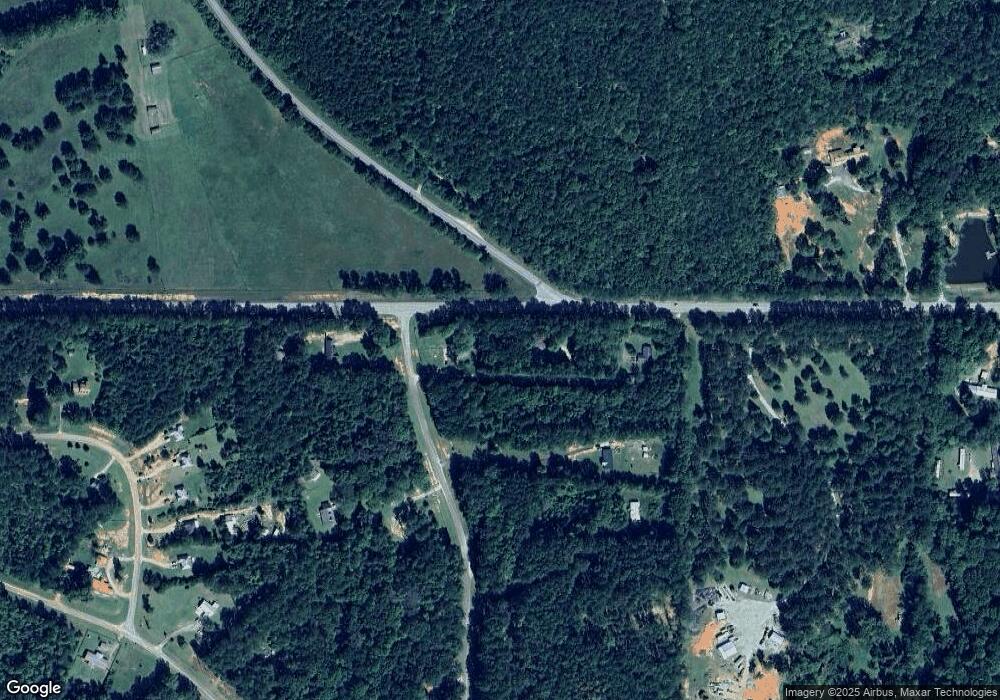
Map
Nearby Homes
- 1072 Minardi Dr
- 475 Hammett Cir
- 0 Melson Rd Unit 10626183
- 993 Glover Rd
- 5028 Hammett Rd
- 5021 Hammett Rd Unit LOT 4
- 423 Coweta Heard Rd
- 243 Ralls Rd
- 221 Power Plant Rd
- 0 Bill Cline Rd Unit 16661249
- 402 Power Plant Rd
- 717 N Boyd Rd
- 4878 Youngs Mill Rd
- GARDNER Plan at Huntcliff - Villages
- ESSEX Plan at Huntcliff - Villages
- DUPONT Plan at Huntcliff - Villages
- ROANOKE Plan at Huntcliff - Villages
- 618 Rifle Ridge
- 501 Sporting Dr
- 502 Sporting Dr
- 0 Minardi Dr
- 0 Minardi Dr Unit 8288945
- 0 Minardi Dr Unit 7466323
- 0 Minardi Dr Unit 7161556
- 0 Minardi Dr Unit 3163774
- 0 Minardi Dr Unit 8549292
- 0 Minardi Dr Unit 9050822
- 0 Minardi Dr Unit 8310448
- 0 Minardi Dr Unit 2501734
- 0 Minardi Dr Unit 7275805
- 0 Minardi Dr Unit 8048463
- 19 Minardi Dr
- 20 Minardi Dr
- 110 Minardi Dr
- 245 Pamela Ct
- 235 Pamela Ct
- 261 Pamela Ct
- 281 Pamela Ct
- 295 Pamela Ct
- 230 Pinsky Dr