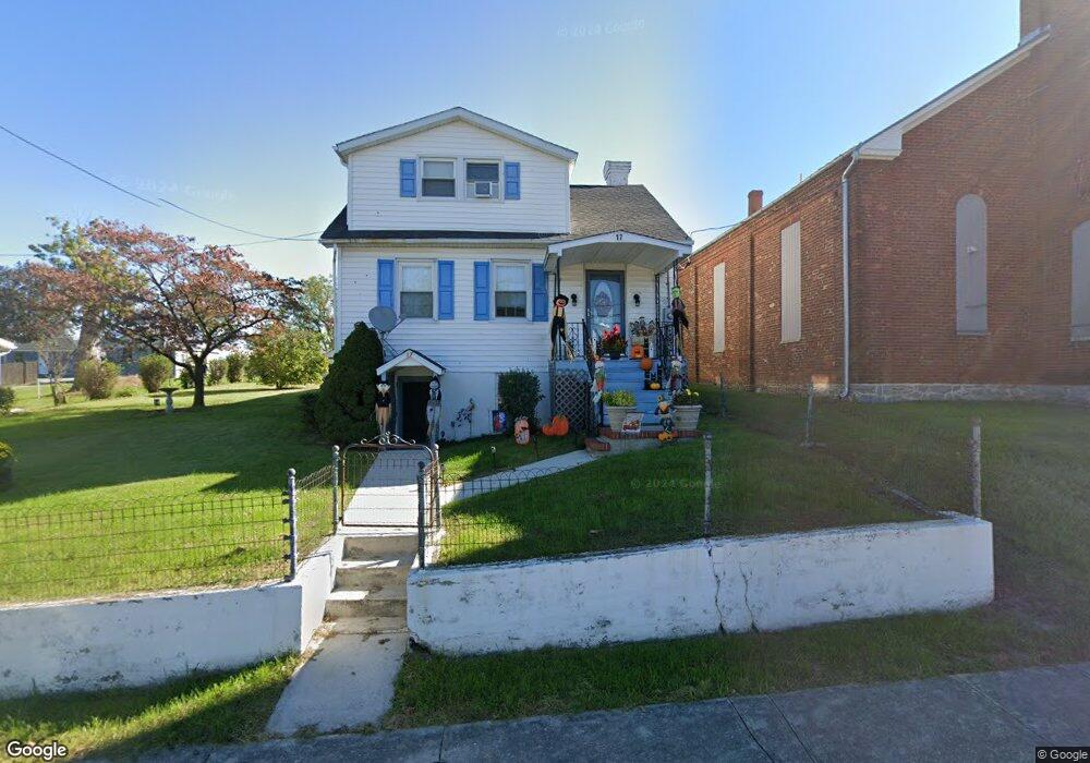
17 N Mill St Clear Spring, MD 21722
Estimated Value: $194,000 - $332,000
Studio
1
Bath
1,131
Sq Ft
$215/Sq Ft
Est. Value
About This Home
This home is located at 17 N Mill St, Clear Spring, MD 21722 and is currently estimated at $243,685, approximately $215 per square foot. 17 N Mill St is a home located in Washington County with nearby schools including Clear Spring Elementary School, Clear Spring Middle School, and Clear Spring High School.
Ownership History
Date
Name
Owned For
Owner Type
Purchase Details
Closed on
Jan 2, 1997
Sold by
Mangini John R
Bought by
Hoffman Pamela S
Current Estimated Value
Purchase Details
Closed on
Mar 28, 1983
Sold by
Kerns Marie S
Bought by
Mangini John R
Home Financials for this Owner
Home Financials are based on the most recent Mortgage that was taken out on this home.
Original Mortgage
$41,000
Interest Rate
12.86%
Create a Home Valuation Report for This Property
The Home Valuation Report is an in-depth analysis detailing your home's value as well as a comparison with similar homes in the area
Purchase History
| Date | Buyer | Sale Price | Title Company |
|---|---|---|---|
| Hoffman Pamela S | $89,000 | -- | |
| Mangini John R | $41,600 | -- |
Source: Public Records
Mortgage History
| Date | Status | Borrower | Loan Amount |
|---|---|---|---|
| Previous Owner | Mangini John R | $41,000 | |
| Closed | Hoffman Pamela S | -- |
Source: Public Records
Tax History
| Year | Tax Paid | Tax Assessment Tax Assessment Total Assessment is a certain percentage of the fair market value that is determined by local assessors to be the total taxable value of land and additions on the property. | Land | Improvement |
|---|---|---|---|---|
| 2025 | $1,119 | $133,733 | $0 | $0 |
| 2024 | $1,119 | $122,867 | $0 | $0 |
| 2023 | $1,020 | $112,000 | $43,400 | $68,600 |
| 2022 | $1,004 | $110,200 | $0 | $0 |
| 2021 | $992 | $108,400 | $0 | $0 |
| 2020 | $992 | $106,600 | $43,400 | $63,200 |
| 2019 | $997 | $106,600 | $43,400 | $63,200 |
| 2018 | $997 | $106,600 | $43,400 | $63,200 |
| 2017 | $1,009 | $107,900 | $0 | $0 |
| 2016 | -- | $107,900 | $0 | $0 |
| 2015 | $1,210 | $107,900 | $0 | $0 |
| 2014 | $1,210 | $124,200 | $0 | $0 |
Source: Public Records
Map
Nearby Homes
- 13407 Rhodes Ct
- 11717 Ashton Rd
- 11868 National Pike
- 11705 Ashton Rd
- 13100 Saint Paul Rd
- 11430 National Pike
- 12136 Big Pool Rd
- Block 139 Lot 56 Boo Blvd
- Block 87 Lot 4 Pikers Peak Dr
- Block 90 Lot 8 Ranger Rd
- Block 7 Lot 30 & 31 Campfire Blvd
- Block 8 Lot 16 & 17 Campfire Blvd
- 0 Block 10 Lot 2 Deadwood Dr Unit WVBE2040636
- Block 12 Lot 41 Ranger Rd
- Block 1 Lot 27 Boo Blvd
- Block 1 Lot 35 Boo Blvd
- Block 5 lots 6 and 7 Poison Oak
- Block 1 Lot 36 Boo Blvd
- 25-20 Rocky Rd
- Block 21 Lot 4 Old Faceful St
Your Personal Tour Guide
Ask me questions while you tour the home.