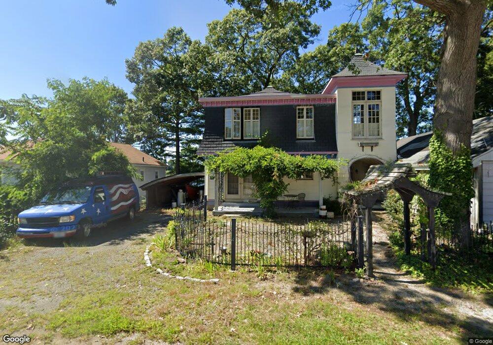
17 N Shore Dr Riverside, RI 02915
Riverside NeighborhoodEstimated Value: $513,000 - $604,664
2
Beds
2
Baths
1,632
Sq Ft
$339/Sq Ft
Est. Value
About This Home
This home is located at 17 N Shore Dr, Riverside, RI 02915 and is currently estimated at $553,666, approximately $339 per square foot. 17 N Shore Dr is a home located in Providence County with nearby schools including East Providence High School, St Luke Elementary School, and Barrington Christian Academy.
Ownership History
Date
Name
Owned For
Owner Type
Purchase Details
Closed on
Mar 24, 2015
Sold by
Slattery Edward F and Beltramello Kathleen
Bought by
Slattery Edward F
Current Estimated Value
Create a Home Valuation Report for This Property
The Home Valuation Report is an in-depth analysis detailing your home's value as well as a comparison with similar homes in the area
Home Values in the Area
Average Home Value in this Area
Purchase History
| Date | Buyer | Sale Price | Title Company |
|---|---|---|---|
| Slattery Edward F | -- | -- | |
| Slattery Edward F | -- | -- |
Source: Public Records
Mortgage History
| Date | Status | Borrower | Loan Amount |
|---|---|---|---|
| Previous Owner | Slattery Edward F | $218,000 | |
| Previous Owner | Slattery Edward F | $162,000 | |
| Previous Owner | Slattery Edward F | $160,000 |
Source: Public Records
Tax History Compared to Growth
Tax History
| Year | Tax Paid | Tax Assessment Tax Assessment Total Assessment is a certain percentage of the fair market value that is determined by local assessors to be the total taxable value of land and additions on the property. | Land | Improvement |
|---|---|---|---|---|
| 2024 | $8,042 | $524,600 | $165,200 | $359,400 |
| 2023 | $7,743 | $524,600 | $165,200 | $359,400 |
| 2022 | $8,018 | $366,800 | $134,600 | $232,200 |
| 2021 | $7,886 | $366,800 | $134,600 | $232,200 |
| 2020 | $7,552 | $366,800 | $134,600 | $232,200 |
| 2019 | $7,343 | $366,800 | $134,600 | $232,200 |
| 2018 | $7,605 | $332,400 | $143,800 | $188,600 |
| 2017 | $7,436 | $332,400 | $143,800 | $188,600 |
| 2016 | $7,399 | $332,400 | $143,800 | $188,600 |
| 2015 | $6,063 | $264,200 | $85,600 | $178,600 |
| 2014 | $6,063 | $264,200 | $85,600 | $178,600 |
Source: Public Records
Map
Nearby Homes
- 12 N Shore Dr
- 141 Park Dr
- 12 Sachem Rd
- 83 Pine Crest Dr
- 18 Allison Ct
- 41 White Ave
- 26 Winthrop St
- 5 Williams St
- 45 Washington Rd
- 164 Bay Spring Ave
- 995 Bullocks Point Ave
- 28 Washington Rd
- 106 Providence Ave
- 76 Beverly Rd
- 92 Halleck Ave
- 45 Providence Ave
- 27 Main St
- 27 Rosedale Ave
- 115 Beverly Rd
- 41 Woodcrest Dr
- 11 N Shore Dr
- 19 N Shore Dr
- 20 N Shore Dr
- 7 N Shore Dr
- 18 N Shore Dr
- 7 Winter Harbor Ave
- 7 Winter Harbor Ave Unit 9
- 27 N Shore Dr
- 20 Park Square Ave
- 11 Winter Harbor Ave
- 51 N Shore Dr
- 22 N Shore Dr
- 5 Park Square Ave
- 19 Park Square Ave Unit 21
- 24 Park Square Ave
- 79 Winter Harbor Ave
- 11 Beach Point Dr
- 49 N Shore Dr
- 1 Beach Point Dr
- 75 Wannisett Ave