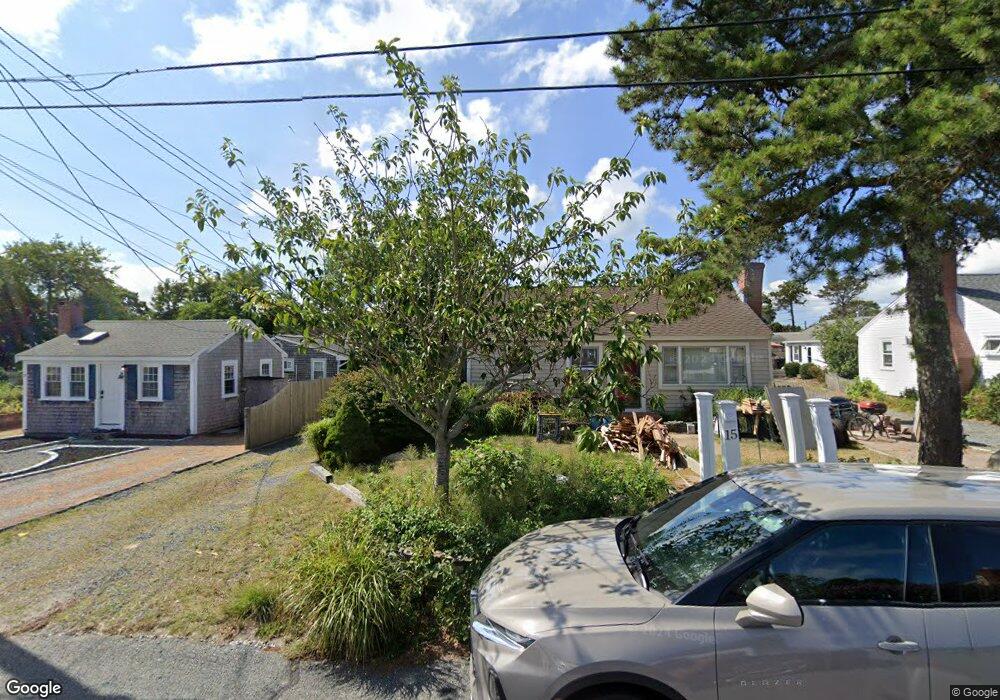
17 Ocean Dr Dennis Port, MA 02639
Dennis Port NeighborhoodEstimated Value: $547,000 - $761,000
2
Beds
1
Bath
600
Sq Ft
$1,053/Sq Ft
Est. Value
About This Home
This home is located at 17 Ocean Dr, Dennis Port, MA 02639 and is currently estimated at $632,083, approximately $1,053 per square foot. 17 Ocean Dr is a home located in Barnstable County with nearby schools including Dennis-Yarmouth Regional High School and St. Pius X. School.
Ownership History
Date
Name
Owned For
Owner Type
Purchase Details
Closed on
Oct 28, 2009
Sold by
Rita M Ditrolio Ret and Ditrolio
Bought by
Anderson Joseph P and Anderson Katherine P
Current Estimated Value
Home Financials for this Owner
Home Financials are based on the most recent Mortgage that was taken out on this home.
Original Mortgage
$133,000
Outstanding Balance
$86,405
Interest Rate
5.06%
Mortgage Type
Purchase Money Mortgage
Estimated Equity
$545,678
Purchase Details
Closed on
Sep 3, 2008
Sold by
Ditrolio Joel C and Ditrolio Rita M
Bought by
Rita M Ditrolio Ret and Ditrolio
Home Financials for this Owner
Home Financials are based on the most recent Mortgage that was taken out on this home.
Original Mortgage
$51,000
Interest Rate
6.47%
Create a Home Valuation Report for This Property
The Home Valuation Report is an in-depth analysis detailing your home's value as well as a comparison with similar homes in the area
Home Values in the Area
Average Home Value in this Area
Purchase History
| Date | Buyer | Sale Price | Title Company |
|---|---|---|---|
| Anderson Joseph P | $210,750 | -- | |
| Rita M Ditrolio Ret | -- | -- | |
| Anderson Joseph P | $210,750 | -- | |
| Rita M Ditrolio Ret | -- | -- |
Source: Public Records
Mortgage History
| Date | Status | Borrower | Loan Amount |
|---|---|---|---|
| Open | Anderson Joseph P | $133,000 | |
| Closed | Rita M Ditrolio Ret | $133,000 | |
| Previous Owner | Rita M Ditrolio Ret | $51,000 |
Source: Public Records
Tax History Compared to Growth
Tax History
| Year | Tax Paid | Tax Assessment Tax Assessment Total Assessment is a certain percentage of the fair market value that is determined by local assessors to be the total taxable value of land and additions on the property. | Land | Improvement |
|---|---|---|---|---|
| 2025 | $2,074 | $478,900 | $271,500 | $207,400 |
| 2024 | $1,922 | $437,800 | $261,100 | $176,700 |
| 2023 | $1,859 | $398,100 | $237,400 | $160,700 |
| 2022 | $1,705 | $304,500 | $187,100 | $117,400 |
| 2021 | $1,679 | $278,500 | $183,400 | $95,100 |
| 2020 | $1,645 | $269,600 | $183,400 | $86,200 |
| 2019 | $1,699 | $275,400 | $195,200 | $80,200 |
| 2018 | $1,634 | $257,800 | $185,900 | $71,900 |
| 2017 | $1,480 | $240,700 | $171,200 | $69,500 |
| 2016 | $1,427 | $218,600 | $161,400 | $57,200 |
| 2015 | $1,399 | $218,600 | $161,400 | $57,200 |
| 2014 | $1,235 | $194,500 | $144,000 | $50,500 |
Source: Public Records
Map
Nearby Homes
- 37 Ocean Dr Unit 2
- 64 Beaten Rd
- 112 Old Wharf Rd Unit E4
- 112 Old Wharf Rd Unit E1
- 120 Old Wharf Rd Unit 11
- 154 Old Wharf Rd Unit 26
- 154 Old Wharf Rd Unit 14
- 80 Michaels Ave
- 217 Old Wharf Rd Unit 64
- 31 Easy St
- 241 Old Wharf Rd Unit 82
- 241 Old Wharf Rd Unit 127
- 241 Old Wharf Rd Unit 90
- 262 Old Wharf Rd Unit 67
- 262 Old Wharf Rd Unit 5
- 262 Old Wharf Rd Unit 5
- 262 Old Wharf Rd Unit 20
- 262 Old Wharf Rd Unit 87
- 6 Baker Way
- 37 Beach Hills Rd
- 19 Ocean Dr Unit 3
- 19 Ocean Dr Unit 1
- 19 Ocean Dr Unit 1-3
- 19 Ocean Dr
- 11 Ocean Dr
- 21 Ocean Dr
- 20 Ocean Dr
- 23 Ocean Dr
- 22 Ocean Dr
- 26 Ocean Dr
- 101 Lower County Rd Unit U-5B
- 101 Lower County Rd Unit U-5A
- 101 Lower County Rd Unit U-5A/B
- 101 Lower County Rd Unit 4B
- 101 Lower County Rd Unit 2B
- 101 Lower County Rd Unit 1A 1B
- 101 Lower County Rd Unit B
- 101 Lower County Rd Unit A
- 101 Lower County Rd Unit 1
- 101 Lower County Rd Unit U-1A