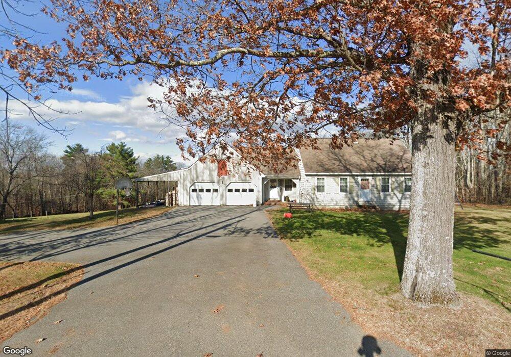
17 Old High Rd Cornish, ME 04020
Estimated Value: $321,000 - $355,257
3
Beds
2
Baths
1,739
Sq Ft
$196/Sq Ft
Est. Value
About This Home
This home is located at 17 Old High Rd, Cornish, ME 04020 and is currently estimated at $340,314, approximately $195 per square foot. 17 Old High Rd is a home located in York County.
Ownership History
Date
Name
Owned For
Owner Type
Purchase Details
Closed on
Feb 17, 2022
Sold by
Capen John M and Billings-Capen Elaine
Bought by
Sturgeon Michael
Current Estimated Value
Purchase Details
Closed on
Feb 24, 2009
Sold by
Sturgeon Robert W
Bought by
Sturgeon Michael D
Home Financials for this Owner
Home Financials are based on the most recent Mortgage that was taken out on this home.
Original Mortgage
$102,040
Interest Rate
5.06%
Mortgage Type
Purchase Money Mortgage
Purchase Details
Closed on
Apr 18, 2006
Sold by
Sturgeon Robert W
Bought by
Fieldstone Real Est Llc
Create a Home Valuation Report for This Property
The Home Valuation Report is an in-depth analysis detailing your home's value as well as a comparison with similar homes in the area
Home Values in the Area
Average Home Value in this Area
Purchase History
| Date | Buyer | Sale Price | Title Company |
|---|---|---|---|
| Sturgeon Michael | $44,000 | None Available | |
| Sturgeon Michael | $44,000 | None Available | |
| Sturgeon Michael | $44,000 | None Available | |
| Sturgeon Michael D | -- | -- | |
| Sturgeon Michael D | -- | -- | |
| Fieldstone Real Est Llc | -- | -- | |
| Fieldstone Real Est Llc | -- | -- |
Source: Public Records
Mortgage History
| Date | Status | Borrower | Loan Amount |
|---|---|---|---|
| Previous Owner | Fieldstone Real Est Llc | $102,040 |
Source: Public Records
Tax History
| Year | Tax Paid | Tax Assessment Tax Assessment Total Assessment is a certain percentage of the fair market value that is determined by local assessors to be the total taxable value of land and additions on the property. | Land | Improvement |
|---|---|---|---|---|
| 2025 | $2,964 | $313,700 | $79,800 | $233,900 |
| 2024 | $3,079 | $334,700 | $76,200 | $258,500 |
| 2023 | $2,884 | $201,700 | $43,900 | $157,800 |
| 2022 | $2,783 | $201,700 | $43,900 | $157,800 |
| 2021 | $2,723 | $201,700 | $43,900 | $157,800 |
| 2020 | $2,703 | $201,700 | $43,900 | $157,800 |
| 2019 | $2,703 | $201,700 | $43,900 | $157,800 |
| 2018 | $2,723 | $201,700 | $43,900 | $157,800 |
| 2016 | $2,600 | $201,700 | $43,900 | $157,800 |
| 2015 | $2,647 | $205,200 | $43,900 | $161,300 |
| 2014 | $2,216 | $171,800 | $43,900 | $127,900 |
Source: Public Records
Map
Nearby Homes
- Lot #2 Jordan Heights Rd
- 22 High Rd
- 4 Bridge St
- 20 Main St
- U6-12 Main St
- 120 Cumberland St
- 96 Maple St
- 110 Maple St
- 14 Hunter Dr
- TBD Sokokis Trail N
- 0 Durgintown Rd
- 992 Pequawket Trail
- 198 Senator Black Rd
- 174 Marston Rd
- 50AC Sawyer Mountain Rd
- 62 & 66 Brownfield Rd
- 66 Brownfield Rd
- R05-0023 Tripptown Rd
- 23 Pine St
- 74 Summer St
Your Personal Tour Guide
Ask me questions while you tour the home.