17 Old Rd Weston, MA 02493
Estimated Value: $2,279,000 - $3,033,000
4
Beds
3
Baths
3,584
Sq Ft
$729/Sq Ft
Est. Value
About This Home
This home is located at 17 Old Rd, Weston, MA 02493 and is currently estimated at $2,611,987, approximately $728 per square foot. 17 Old Rd is a home located in Middlesex County with nearby schools including Country Elementary School, Woodland Elementary School, and Weston Middle School.
Ownership History
Date
Name
Owned For
Owner Type
Purchase Details
Closed on
Feb 22, 2021
Sold by
J G Gunderson 2010 T
Bought by
J Gunderson Marital T
Current Estimated Value
Purchase Details
Closed on
Jan 22, 2021
Sold by
Gunderson John G Est
Bought by
J G Gunderson 2010 T
Purchase Details
Closed on
Jan 6, 2011
Sold by
Gunderson John G and Gunderson Susan R
Bought by
Gunderson John G
Purchase Details
Closed on
Nov 8, 1977
Bought by
Gunderson John G
Create a Home Valuation Report for This Property
The Home Valuation Report is an in-depth analysis detailing your home's value as well as a comparison with similar homes in the area
Home Values in the Area
Average Home Value in this Area
Purchase History
| Date | Buyer | Sale Price | Title Company |
|---|---|---|---|
| J Gunderson Marital T | -- | None Available | |
| J G Gunderson 2010 T | -- | None Available | |
| Gunderson John G | -- | -- | |
| Gunderson John G | -- | -- |
Source: Public Records
Mortgage History
| Date | Status | Borrower | Loan Amount |
|---|---|---|---|
| Previous Owner | Gunderson John G | $400,000 |
Source: Public Records
Tax History Compared to Growth
Tax History
| Year | Tax Paid | Tax Assessment Tax Assessment Total Assessment is a certain percentage of the fair market value that is determined by local assessors to be the total taxable value of land and additions on the property. | Land | Improvement |
|---|---|---|---|---|
| 2025 | $26,188 | $2,359,300 | $1,618,500 | $740,800 |
| 2024 | $25,973 | $2,335,700 | $1,618,500 | $717,200 |
| 2023 | $26,912 | $2,273,000 | $1,618,500 | $654,500 |
| 2022 | $24,977 | $1,949,800 | $1,498,900 | $450,900 |
| 2021 | $24,431 | $1,882,200 | $1,447,300 | $434,900 |
| 2020 | $23,821 | $1,856,700 | $1,447,300 | $409,400 |
| 2019 | $23,342 | $1,854,000 | $1,447,300 | $406,700 |
| 2018 | $23,194 | $1,854,000 | $1,447,300 | $406,700 |
| 2017 | $22,990 | $1,854,000 | $1,447,300 | $406,700 |
| 2016 | $22,545 | $1,854,000 | $1,447,300 | $406,700 |
| 2015 | $22,103 | $1,799,900 | $1,401,700 | $398,200 |
Source: Public Records
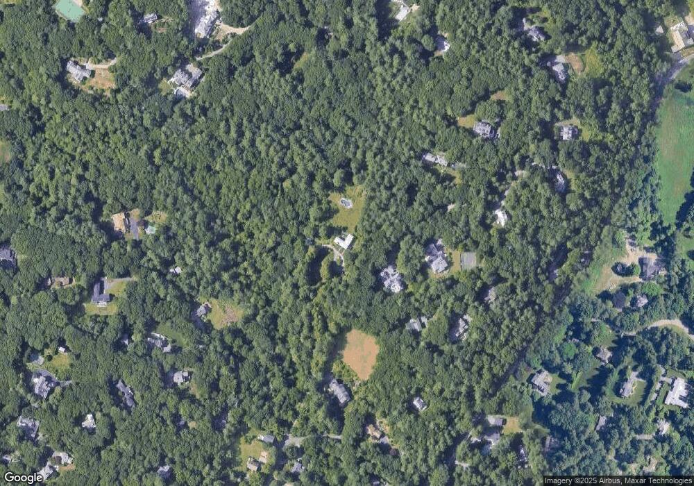
Map
Nearby Homes
- 120 Church St
- 51 Church St
- 167 Conant Rd
- 15 Whitney Tavern Rd
- 6 Overlook Dr
- 3 October Ln
- 17 Lexington St
- 8 Jericho Rd Unit 8
- 1 Aberdeen Rd
- 24 Jericho Rd Unit 24
- 60 Rolling Ln
- 51 Willard Rd
- 52 Jericho Rd Unit 52
- 11 Winthrop Cir
- 19 Warren Ln
- 5 Peakes Ln
- 226 Ash St
- 202 Bear Hill Rd
- 4 Willow Rd
- 416 Conant Rd