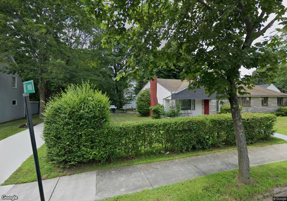
17 Orourke Path Newton Center, MA 02459
Mount Ida NeighborhoodEstimated Value: $1,099,000 - $1,825,000
5
Beds
2
Baths
2,630
Sq Ft
$561/Sq Ft
Est. Value
About This Home
This home is located at 17 Orourke Path, Newton Center, MA 02459 and is currently estimated at $1,475,634, approximately $561 per square foot. 17 Orourke Path is a home located in Middlesex County with nearby schools including Memorial Spaulding Elementary School, Oak Hill Middle School, and Newton South High School.
Ownership History
Date
Name
Owned For
Owner Type
Purchase Details
Closed on
Nov 13, 2012
Sold by
Sabery Keyvan
Bought by
Sabery Keyvan and Noor Nicoletta
Current Estimated Value
Home Financials for this Owner
Home Financials are based on the most recent Mortgage that was taken out on this home.
Original Mortgage
$335,000
Outstanding Balance
$227,175
Interest Rate
3%
Mortgage Type
Adjustable Rate Mortgage/ARM
Estimated Equity
$1,248,459
Purchase Details
Closed on
May 17, 1999
Sold by
Gelb Rt and Goldstein Kennethm
Bought by
Noor Nicoletta
Home Financials for this Owner
Home Financials are based on the most recent Mortgage that was taken out on this home.
Original Mortgage
$231,750
Interest Rate
6.92%
Mortgage Type
Purchase Money Mortgage
Create a Home Valuation Report for This Property
The Home Valuation Report is an in-depth analysis detailing your home's value as well as a comparison with similar homes in the area
Home Values in the Area
Average Home Value in this Area
Purchase History
| Date | Buyer | Sale Price | Title Company |
|---|---|---|---|
| Sabery Keyvan | -- | -- | |
| Noor Nicoletta | $225,000 | -- |
Source: Public Records
Mortgage History
| Date | Status | Borrower | Loan Amount |
|---|---|---|---|
| Open | Sabery Keyvan | $335,000 | |
| Previous Owner | Noor Nicoletta | $262,400 | |
| Previous Owner | Noor Nicoletta | $231,750 |
Source: Public Records
Tax History
| Year | Tax Paid | Tax Assessment Tax Assessment Total Assessment is a certain percentage of the fair market value that is determined by local assessors to be the total taxable value of land and additions on the property. | Land | Improvement |
|---|---|---|---|---|
| 2025 | $8,766 | $894,500 | $705,100 | $189,400 |
| 2024 | $8,476 | $868,400 | $684,600 | $183,800 |
| 2023 | $7,777 | $763,900 | $520,200 | $243,700 |
| 2022 | $7,441 | $707,300 | $481,700 | $225,600 |
| 2021 | $7,180 | $667,300 | $454,400 | $212,900 |
| 2020 | $6,967 | $667,300 | $454,400 | $212,900 |
| 2019 | $6,771 | $647,900 | $441,200 | $206,700 |
| 2018 | $6,467 | $597,700 | $400,400 | $197,300 |
| 2017 | $6,271 | $563,900 | $377,700 | $186,200 |
| 2016 | $5,997 | $527,000 | $353,000 | $174,000 |
| 2015 | $5,718 | $492,500 | $329,900 | $162,600 |
Source: Public Records
Map
Nearby Homes
- 17 Caldon Path
- 90 Mccarthy Rd
- 30 K Roadway
- 25 Cavanaugh Path
- 544 Saw Mill Brook Pkwy
- 36 Ober Rd
- 21 Lovett Rd
- 210 Nahanton St Unit 404
- 50 Lovett Rd
- 28 Cottonwood Rd
- 577 Baker St Unit 577
- 931 Lagrange St
- 923 Lagrange St
- 845 Lagrange St Unit 4
- 135 Hartman Rd
- 17 Tirrell Crescent
- 93 Sevland Rd
- 63 Drumlin Rd
- 41 Juniper Ln
- 16 Dorcar Rd
- 9 Orourke Path
- 9 Orourke Path Unit 9
- 9 O'Rourke Path
- 25 O'Rourke Path
- 25 Orourke Path
- 18 Orourke Path
- 24 O'Rourke Path
- 10 Orourke Path
- 66 Hanson Rd
- 24 Orourke Path
- 16 Osborne Path
- 10 Osborne Path
- 35 O'Rourke Path
- 35 Orourke Path Unit 35
- 35 Orourke Path
- 35 Orourke Path
- 35 Orourke Path
- 28 Osborne Path
- 10 Osborne Path
- 56 Hanson Rd