Estimated Value: $665,594 - $778,000
3
Beds
2
Baths
1,555
Sq Ft
$465/Sq Ft
Est. Value
About This Home
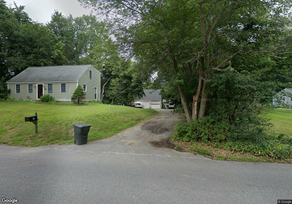
This home is located at 17 Parker St, Acton, MA 01720 and is currently estimated at $723,399, approximately $465 per square foot. 17 Parker St is a home located in Middlesex County with nearby schools including Acton-Boxborough Regional High School, Maynard Knowledge Beginnings, and The Imago School.
Ownership History
Date
Name
Owned For
Owner Type
Purchase Details
Closed on
Sep 22, 2003
Sold by
Goddard Vicki L and Mason Vicki L
Bought by
Goddard Vicki L and Mason Matthew R
Current Estimated Value
Create a Home Valuation Report for This Property
The Home Valuation Report is an in-depth analysis detailing your home's value as well as a comparison with similar homes in the area
Home Values in the Area
Average Home Value in this Area
Purchase History
| Date | Buyer | Sale Price | Title Company |
|---|---|---|---|
| Goddard Vicki L | -- | -- |
Source: Public Records
Tax History
| Year | Tax Paid | Tax Assessment Tax Assessment Total Assessment is a certain percentage of the fair market value that is determined by local assessors to be the total taxable value of land and additions on the property. | Land | Improvement |
|---|---|---|---|---|
| 2025 | $9,700 | $565,600 | $279,500 | $286,100 |
| 2024 | $9,197 | $551,700 | $279,500 | $272,200 |
| 2023 | $9,240 | $526,200 | $254,000 | $272,200 |
| 2022 | $8,447 | $434,300 | $220,800 | $213,500 |
| 2021 | $8,292 | $409,900 | $204,400 | $205,500 |
| 2020 | $7,692 | $399,800 | $204,400 | $195,400 |
| 2019 | $7,301 | $376,900 | $204,400 | $172,500 |
| 2018 | $7,198 | $371,400 | $204,400 | $167,000 |
| 2017 | $7,079 | $371,400 | $204,400 | $167,000 |
| 2016 | $6,798 | $353,500 | $204,400 | $149,100 |
| 2015 | $6,824 | $358,200 | $204,400 | $153,800 |
| 2014 | $6,728 | $345,900 | $204,400 | $141,500 |
Source: Public Records
Map
Nearby Homes
- 59 Lexington Dr
- 7 Hillcrest Dr
- 130 Parker St Unit J2
- 1 Vanderbelt Rd
- 1 Drummer Rd Unit A5
- 70 River St
- 65 Summit St
- 30 Brewster Ln
- 245 Oak Hill Cir
- 27 Forest Rd
- 37 Water St
- 40 High St
- 27 Water St
- 95 Concord Rd
- 1732 Main St Unit 205
- 1844 Main St Unit 1844
- 66 Old Stow Rd
- 46 Taylor Rd
- 20 Westvale Meadows Unit C
- 131 Main St
Your Personal Tour Guide
Ask me questions while you tour the home.