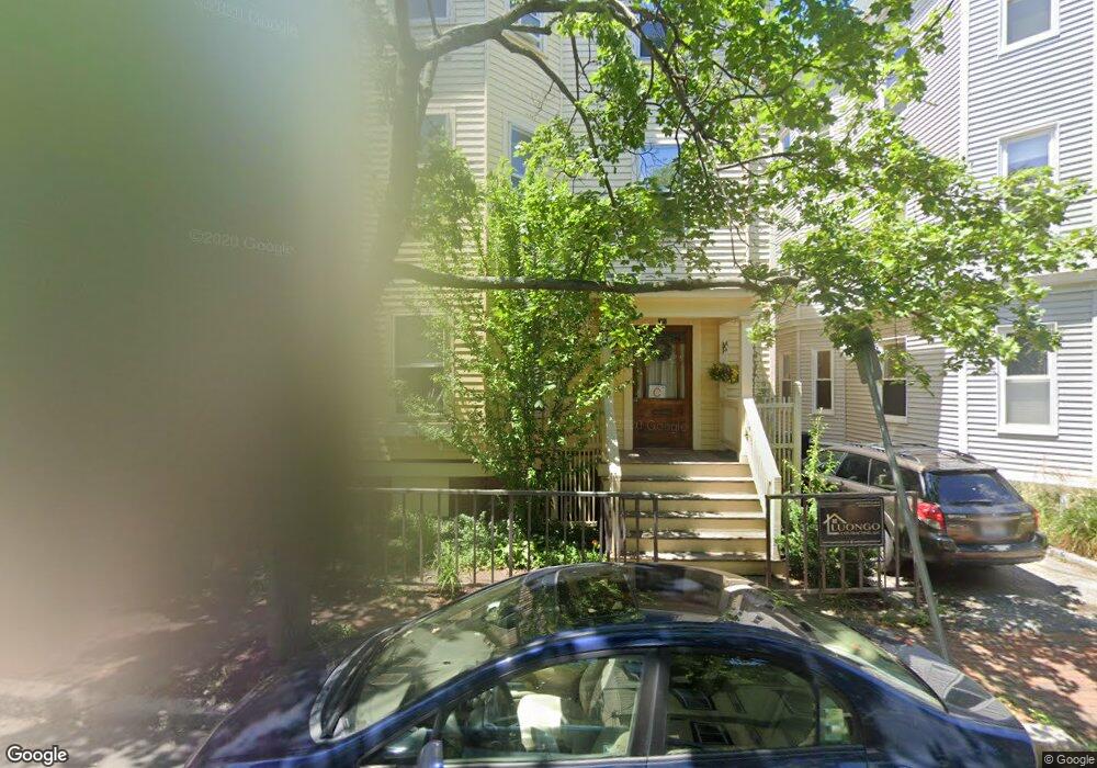
17 Peters St Unit 3 Cambridge, MA 02139
Cambridgeport NeighborhoodEstimated Value: $810,056 - $988,000
2
Beds
1
Bath
958
Sq Ft
$950/Sq Ft
Est. Value
About This Home
This home is located at 17 Peters St Unit 3, Cambridge, MA 02139 and is currently estimated at $909,764, approximately $949 per square foot. 17 Peters St Unit 3 is a home located in Middlesex County with nearby schools including Prospect Hill Academy Charter School, New England Hebrew Academy, and Boston University Academy.
Ownership History
Date
Name
Owned For
Owner Type
Purchase Details
Closed on
Nov 27, 2007
Sold by
Daniel Claire
Bought by
Mack David Anthony
Current Estimated Value
Home Financials for this Owner
Home Financials are based on the most recent Mortgage that was taken out on this home.
Original Mortgage
$337,600
Outstanding Balance
$215,009
Interest Rate
6.42%
Mortgage Type
Purchase Money Mortgage
Estimated Equity
$694,755
Create a Home Valuation Report for This Property
The Home Valuation Report is an in-depth analysis detailing your home's value as well as a comparison with similar homes in the area
Home Values in the Area
Average Home Value in this Area
Purchase History
| Date | Buyer | Sale Price | Title Company |
|---|---|---|---|
| Mack David Anthony | $422,000 | -- |
Source: Public Records
Mortgage History
| Date | Status | Borrower | Loan Amount |
|---|---|---|---|
| Open | Mack David Anthony | $337,600 |
Source: Public Records
Tax History Compared to Growth
Tax History
| Year | Tax Paid | Tax Assessment Tax Assessment Total Assessment is a certain percentage of the fair market value that is determined by local assessors to be the total taxable value of land and additions on the property. | Land | Improvement |
|---|---|---|---|---|
| 2025 | $5,199 | $818,800 | $0 | $818,800 |
| 2024 | $4,714 | $796,300 | $0 | $796,300 |
| 2023 | $4,580 | $781,500 | $0 | $781,500 |
| 2022 | $4,465 | $770,500 | $0 | $770,500 |
| 2021 | $4,465 | $763,200 | $0 | $763,200 |
| 2020 | $4,292 | $746,500 | $0 | $746,500 |
| 2019 | $4,109 | $691,700 | $0 | $691,700 |
| 2018 | $1,892 | $633,900 | $0 | $633,900 |
| 2017 | $3,777 | $582,000 | $0 | $582,000 |
| 2016 | $3,545 | $507,100 | $0 | $507,100 |
| 2015 | $3,505 | $448,200 | $0 | $448,200 |
| 2014 | $3,446 | $411,200 | $0 | $411,200 |
Source: Public Records
Map
Nearby Homes
- 260 Sidney St Unit 3R
- 131 Erie St Unit 3
- 131 Erie St
- 161 Hamilton St
- 174 Hamilton St
- 214 Allston St
- 8 Watson St Unit 8
- 6-8 Watson St Unit 8
- 127 Auburn St
- 129 Auburn St
- 1 Jay St
- 300 Franklin St Unit 5
- 300 Franklin St Unit 1
- 300 Franklin St Unit 2
- 2 Hingham St
- 566 Commonwealth Ave Unit L101
- 566 Commonwealth Ave Unit 804
- 566 Commonwealth Ave Unit 710
- 566 Commonwealth Ave Unit 1110
- 180 Ivy St
- 17 Peters St Unit 2
- 17 Peters St Unit 1
- 19 Peters St Unit 3
- 19 Peters St Unit 2
- 19 Peters St Unit 1
- 19 Peters St
- 11 Peters St Unit 3
- 11 Peters St Unit 2
- 11 Peters St Unit 1
- 9 Peters St Unit 3
- 9 Peters St Unit 2
- 9 Peters St Unit 1
- 570 Putnam Ave
- 260 Brookline St Unit 2
- 260 Brookline St Unit 1
- 260 Brookline St Unit 260
- 260 Brookline St
- 256 Brookline St
- 572 Putnam Ave
- 566 Putnam Ave Unit 2R