17 Peyton Dr Carlisle, PA 17015
Estimated Value: $879,000 - $925,000
4
Beds
4
Baths
3,547
Sq Ft
$253/Sq Ft
Est. Value
About This Home
This home is located at 17 Peyton Dr, Carlisle, PA 17015 and is currently estimated at $897,724, approximately $253 per square foot. 17 Peyton Dr is a home located in Cumberland County with nearby schools including North Dickinson Elementary School, Lamberton Middle School, and Carlisle Area High School.
Ownership History
Date
Name
Owned For
Owner Type
Purchase Details
Closed on
Jun 26, 2019
Sold by
Carlisle Developers Llc
Bought by
Wayne S Lesher Iv Inc
Current Estimated Value
Home Financials for this Owner
Home Financials are based on the most recent Mortgage that was taken out on this home.
Original Mortgage
$456,800
Outstanding Balance
$401,667
Interest Rate
4%
Mortgage Type
Future Advance Clause Open End Mortgage
Estimated Equity
$496,057
Purchase Details
Closed on
Jun 10, 2013
Sold by
Carlisle Developers Llc
Bought by
Spern Stuart A
Home Financials for this Owner
Home Financials are based on the most recent Mortgage that was taken out on this home.
Original Mortgage
$499,547
Interest Rate
3.51%
Mortgage Type
New Conventional
Create a Home Valuation Report for This Property
The Home Valuation Report is an in-depth analysis detailing your home's value as well as a comparison with similar homes in the area
Home Values in the Area
Average Home Value in this Area
Purchase History
| Date | Buyer | Sale Price | Title Company |
|---|---|---|---|
| Wayne S Lesher Iv Inc | $100,000 | None Available | |
| Spern Stuart A | $624,435 | -- |
Source: Public Records
Mortgage History
| Date | Status | Borrower | Loan Amount |
|---|---|---|---|
| Open | Wayne S Lesher Iv Inc | $456,800 | |
| Previous Owner | Spern Stuart A | $499,547 |
Source: Public Records
Tax History Compared to Growth
Tax History
| Year | Tax Paid | Tax Assessment Tax Assessment Total Assessment is a certain percentage of the fair market value that is determined by local assessors to be the total taxable value of land and additions on the property. | Land | Improvement |
|---|---|---|---|---|
| 2025 | $12,723 | $613,500 | $102,200 | $511,300 |
| 2024 | $12,308 | $613,500 | $102,200 | $511,300 |
| 2023 | $11,861 | $613,500 | $102,200 | $511,300 |
| 2022 | $11,209 | $613,500 | $102,200 | $511,300 |
| 2021 | $11,021 | $613,500 | $102,200 | $511,300 |
| 2020 | $10,747 | $613,500 | $102,200 | $511,300 |
| 2019 | $10,480 | $613,500 | $102,200 | $511,300 |
| 2018 | $10,213 | $613,500 | $102,200 | $511,300 |
| 2017 | $9,971 | $613,500 | $102,200 | $511,300 |
| 2016 | -- | $613,500 | $102,200 | $511,300 |
| 2015 | -- | $613,500 | $102,200 | $511,300 |
| 2014 | -- | $613,500 | $102,200 | $511,300 |
Source: Public Records
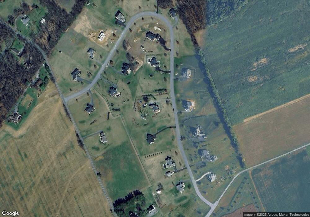
Map
Nearby Homes
- 16 Peyton Dr
- 114 LOT #16 Richland Rd
- 92 Long Bend Dr
- 7 Beverly Ct
- 8 Mccoy Ln
- 0 W Linden Dr
- 44 Sandy Bottom Rd
- 871 Alexander Spring Rd
- 9 Montsera Rd
- 986 Pine Rd
- 6 Morgan Dr Unit 12-03
- 18 Annendale Dr
- 1207 Pine Rd
- 3 Elton Dr
- 99 Garfield Dr
- 2123 Ritner Hwy
- 711 W Pine St
- 111 Freedom Way
- 399 Barnstable Rd
- 210 Sunset Dr