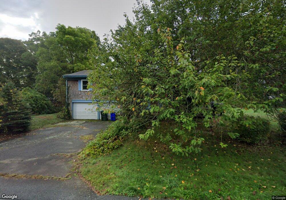
17 Phillips Ave Groton, CT 06340
Estimated Value: $344,000 - $422,000
3
Beds
2
Baths
1,800
Sq Ft
$218/Sq Ft
Est. Value
About This Home
This home is located at 17 Phillips Ave, Groton, CT 06340 and is currently estimated at $393,034, approximately $218 per square foot. 17 Phillips Ave is a home located in New London County with nearby schools including Northeast Academy Arts Magnet School, Groton Middle School, and Robert E. Fitch High School.
Ownership History
Date
Name
Owned For
Owner Type
Purchase Details
Closed on
Apr 21, 2014
Sold by
Ulrich Louis D and Ulrich Nancy A
Bought by
Peters Louise
Current Estimated Value
Home Financials for this Owner
Home Financials are based on the most recent Mortgage that was taken out on this home.
Original Mortgage
$110,000
Outstanding Balance
$83,368
Interest Rate
4.26%
Estimated Equity
$309,666
Create a Home Valuation Report for This Property
The Home Valuation Report is an in-depth analysis detailing your home's value as well as a comparison with similar homes in the area
Home Values in the Area
Average Home Value in this Area
Purchase History
| Date | Buyer | Sale Price | Title Company |
|---|---|---|---|
| Peters Louise | $140,000 | -- |
Source: Public Records
Mortgage History
| Date | Status | Borrower | Loan Amount |
|---|---|---|---|
| Open | Peters Louise | $110,000 |
Source: Public Records
Tax History
| Year | Tax Paid | Tax Assessment Tax Assessment Total Assessment is a certain percentage of the fair market value that is determined by local assessors to be the total taxable value of land and additions on the property. | Land | Improvement |
|---|---|---|---|---|
| 2025 | $4,853 | $174,510 | $72,639 | $101,871 |
| 2024 | $4,551 | $174,510 | $72,639 | $101,871 |
| 2023 | $4,385 | $174,510 | $28,980 | $145,530 |
| 2022 | $4,302 | $174,510 | $28,980 | $145,530 |
| 2021 | $4,410 | $149,590 | $32,200 | $117,390 |
| 2020 | $4,364 | $149,590 | $32,200 | $117,390 |
| 2019 | $4,181 | $149,590 | $32,200 | $117,390 |
| 2018 | $4,139 | $149,590 | $32,200 | $117,390 |
| 2017 | $4,058 | $149,590 | $32,200 | $117,390 |
| 2016 | $3,829 | $151,760 | $44,730 | $107,030 |
| 2015 | $3,711 | $151,760 | $44,730 | $107,030 |
| 2014 | $3,624 | $151,760 | $44,730 | $107,030 |
Source: Public Records
Map
Nearby Homes
- 1459 Gold Star Hwy
- 1541 North Rd
- 33 Forest Ave
- 1661 Center Groton Rd
- 783 Buddington Rd
- 510 Flanders Rd
- 517-571 Gold Star Hwy
- 90 Crown Knoll Ct Unit 136
- 74 Crown Knoll Ct Unit 162
- 15 Spyglass Cir Unit 15
- 85 Crown Knoll Ct Unit 110
- 351 Flanders Rd
- 518 Noank Ledyard Rd
- 205 Winding Hollow Rd
- 98 Oslo St
- 99 Pamela Ave
- 419 Colonel Ledyard Hwy
- 2590 Gold Star Hwy Unit 110
- 33 Cindy Ln
- 1 Marcel Rd
- 191 Candlewood Rd
- 69 Almer St
- 8 Phillips Ave
- 27 Phillips Ave
- 18 Phillips Ave
- 172 Candlewood Rd
- 164 Candlewood Rd
- 55 Almer St
- 206 Candlewood Rd
- 184 Candlewood Rd
- 40 Phillips Ave
- 1203 North Rd
- 1334 Gold Star Hwy
- 40 Almer St
- 219 Candlewood Rd
- 45 Almer St
- 152 Candlewood Rd
- 41 Gallup St
- 54 Gallup St
- 1215 N Rd #178
Your Personal Tour Guide
Ask me questions while you tour the home.