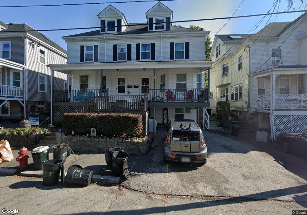
17 Pierce Ave Unit 1 Beverly, MA 01915
Downtown Beverly NeighborhoodEstimated Value: $530,088 - $569,000
3
Beds
2
Baths
1,465
Sq Ft
$378/Sq Ft
Est. Value
About This Home
This home is located at 17 Pierce Ave Unit 1, Beverly, MA 01915 and is currently estimated at $554,272, approximately $378 per square foot. 17 Pierce Ave Unit 1 is a home located in Essex County with nearby schools including Beverly High School, Mrs Alexander's School, and Shore Country Day School.
Ownership History
Date
Name
Owned For
Owner Type
Purchase Details
Closed on
Mar 2, 2009
Sold by
Garry June A
Bought by
Connolly Donald A and Jawando Audrey
Current Estimated Value
Home Financials for this Owner
Home Financials are based on the most recent Mortgage that was taken out on this home.
Original Mortgage
$151,970
Outstanding Balance
$95,964
Interest Rate
5%
Mortgage Type
Purchase Money Mortgage
Estimated Equity
$458,308
Purchase Details
Closed on
Jun 27, 2008
Sold by
Us Bk
Bought by
Garry June A
Create a Home Valuation Report for This Property
The Home Valuation Report is an in-depth analysis detailing your home's value as well as a comparison with similar homes in the area
Home Values in the Area
Average Home Value in this Area
Purchase History
| Date | Buyer | Sale Price | Title Company |
|---|---|---|---|
| Connolly Donald A | $237,500 | -- | |
| Garry June A | $270,000 | -- |
Source: Public Records
Mortgage History
| Date | Status | Borrower | Loan Amount |
|---|---|---|---|
| Open | Garry June A | $30,905 | |
| Open | Garry June A | $151,970 |
Source: Public Records
Tax History
| Year | Tax Paid | Tax Assessment Tax Assessment Total Assessment is a certain percentage of the fair market value that is determined by local assessors to be the total taxable value of land and additions on the property. | Land | Improvement |
|---|---|---|---|---|
| 2025 | $4,553 | $414,300 | $0 | $414,300 |
| 2024 | $4,304 | $383,300 | $0 | $383,300 |
| 2023 | $4,059 | $360,500 | $0 | $360,500 |
| 2022 | $4,154 | $341,300 | $0 | $341,300 |
| 2021 | $4,041 | $318,200 | $0 | $318,200 |
| 2020 | $3,730 | $290,700 | $0 | $290,700 |
| 2019 | $3,650 | $276,300 | $0 | $276,300 |
| 2018 | $3,537 | $260,100 | $0 | $260,100 |
| 2017 | $3,551 | $248,700 | $0 | $248,700 |
| 2016 | $3,521 | $244,700 | $0 | $244,700 |
Source: Public Records
Map
Nearby Homes
- 94 Essex St
- The Cabot Collection
- 18 James St
- 28 Arthur St Unit 3
- 348 Rantoul St Unit 202
- 5 Beckford St Unit 3
- 315 Rantoul St Unit 406
- 42 Bisson St
- 261 Rantoul St
- 9 Swan St Unit 2
- 21 Thorndike St Unit 4
- 40 Railroad Ave Unit B2
- 24 Franklin Place
- 40 Heather St Unit 204
- 68 Paine Ave
- 3 Elm Top Ln
- 4 Bass St
- 60 Rantoul St Unit 604N
- 60 Rantoul St Unit 114N
- 16 School St Unit 3
- 17 1/2 Pierce Ave
- 17 Pierce Ave Unit 17H
- 17 Pierce Ave
- 17 1/2 Pierce Ave Unit 2
- 19 Pierce Ave
- 19 Pierce Ave Unit 1
- 19 Pierce Ave Unit 2
- 15 Pierce Ave
- 15 Pierce Ave Unit 1/2
- 15 Pierce Ave Unit 1
- 15 1/2 Pierce Ave Unit H
- 15 1/2 Pierce Ave
- 21 Pierce Ave Unit 2
- 21 Pierce Ave Unit 1
- 21 Pierce Ave Unit A
- 13 1/2 Pierce Ave Unit 1L
- 13 Pierce Ave
- 20 Prospect St
- 18 Pierce Ave
- 20 Pierce Ave
Your Personal Tour Guide
Ask me questions while you tour the home.