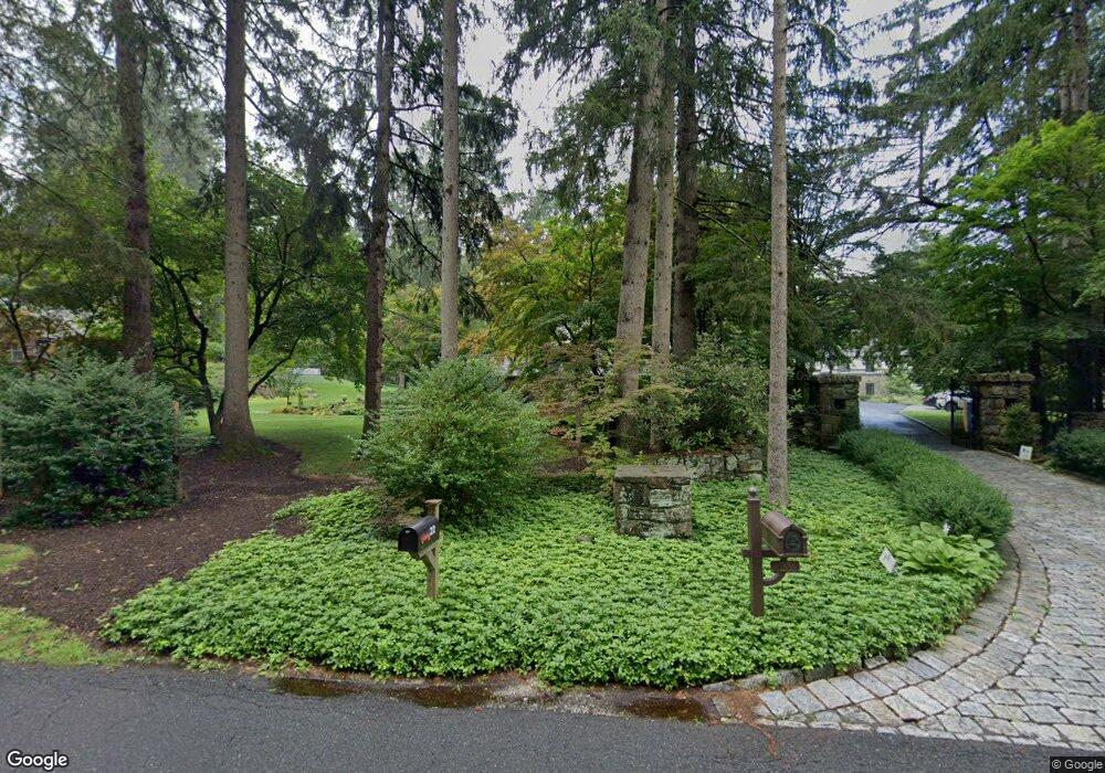
17 Pin Pack Rd Ridgefield, CT 06877
Estimated Value: $908,825 - $1,242,000
Studio
--
Bath
--
Sq Ft
43,560
Sq Ft Lot
About This Home
This home is located at 17 Pin Pack Rd, Ridgefield, CT 06877 and is currently estimated at $1,076,956. 17 Pin Pack Rd is a home located in Fairfield County with nearby schools including Scotts Ridge Middle School, Ridgefield High School, and St. Mary School.
Ownership History
Date
Name
Owned For
Owner Type
Purchase Details
Closed on
Jun 8, 2024
Sold by
Keuls Peter
Bought by
Peter Keuls T and Peter Keuls
Current Estimated Value
Purchase Details
Closed on
Jul 12, 2005
Sold by
Cobleigh Catharine M
Bought by
Keuls Peter A
Purchase Details
Closed on
Apr 17, 1998
Sold by
Mitchell Robert W and Mitchell Kathleen
Bought by
Cobleigh Catherine M
Purchase Details
Closed on
Jun 20, 1997
Sold by
Ames Russell A and Ames Margaret
Bought by
Mitchell Robert W and Mitchell Kathleen
Create a Home Valuation Report for This Property
The Home Valuation Report is an in-depth analysis detailing your home's value as well as a comparison with similar homes in the area
Home Values in the Area
Average Home Value in this Area
Purchase History
| Date | Buyer | Sale Price | Title Company |
|---|---|---|---|
| Peter Keuls T | -- | None Available | |
| Peter Keuls T | -- | None Available | |
| Keuls Peter A | $890,000 | -- | |
| Cobleigh Catherine M | $433,000 | -- | |
| Mitchell Robert W | $437,000 | -- | |
| Keuls Peter A | $890,000 | -- | |
| Cobleigh Catherine M | $433,000 | -- | |
| Mitchell Robert W | $437,000 | -- |
Source: Public Records
Mortgage History
| Date | Status | Borrower | Loan Amount |
|---|---|---|---|
| Previous Owner | Mitchell Robert W | $490,300 | |
| Previous Owner | Mitchell Robert W | $511,750 |
Source: Public Records
Tax History
| Year | Tax Paid | Tax Assessment Tax Assessment Total Assessment is a certain percentage of the fair market value that is determined by local assessors to be the total taxable value of land and additions on the property. | Land | Improvement |
|---|---|---|---|---|
| 2025 | $13,199 | $481,880 | $220,500 | $261,380 |
| 2024 | $12,698 | $481,880 | $220,500 | $261,380 |
| 2023 | $12,437 | $481,880 | $220,500 | $261,380 |
| 2022 | $12,641 | $444,630 | $189,000 | $255,630 |
| 2021 | $12,543 | $444,630 | $189,000 | $255,630 |
| 2020 | $12,503 | $444,630 | $189,000 | $255,630 |
| 2019 | $12,503 | $444,630 | $189,000 | $255,630 |
| 2018 | $12,352 | $444,630 | $189,000 | $255,630 |
| 2017 | $12,104 | $444,850 | $182,950 | $261,900 |
| 2016 | $11,873 | $444,850 | $182,950 | $261,900 |
| 2015 | $11,571 | $444,850 | $182,950 | $261,900 |
| 2014 | $11,571 | $444,850 | $182,950 | $261,900 |
Source: Public Records
Map
Nearby Homes
- 22 Ketcham Rd
- 75A New St
- 75 New St
- 151 North St
- 8 Stebbins Close Unit 8
- 159 Barry Ave
- 75 Lawson Ln
- 55 Olcott Way
- 26 Abbott Ave
- 19 Cook Close Unit 19
- 32 Lawson Ln
- 88 Green Ln
- 217 Danbury Rd
- 9 Dowling Dr
- 2 Lemon Ln
- 59 Prospect St Unit C
- 71 Peaceable Ridge Rd
- 77 Sunset Ln Unit 213
- 77 Sunset Ln Unit 223
- 77 Sunset Ln Unit 335
Your Personal Tour Guide
Ask me questions while you tour the home.