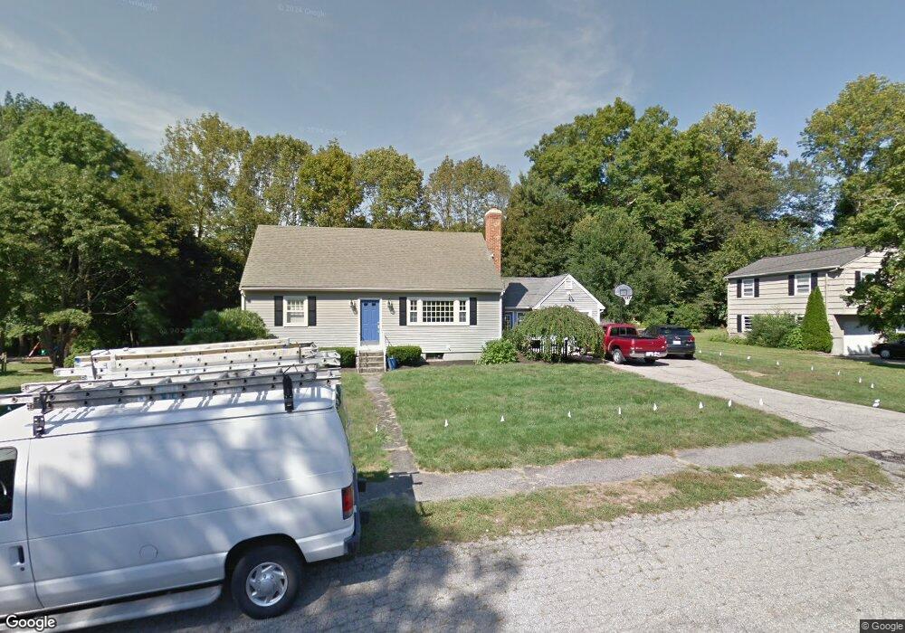
17 Pollard Dr Millis, MA 02054
Estimated Value: $677,000 - $765,000
3
Beds
2
Baths
1,930
Sq Ft
$369/Sq Ft
Est. Value
About This Home
This home is located at 17 Pollard Dr, Millis, MA 02054 and is currently estimated at $712,488, approximately $369 per square foot. 17 Pollard Dr is a home located in Norfolk County with nearby schools including Clyde F Brown, Millis Middle School, and Millis High School.
Ownership History
Date
Name
Owned For
Owner Type
Purchase Details
Closed on
Jan 24, 1996
Sold by
Thomas Shirin N
Bought by
Reggio Christopher W and Reggio Marie F
Current Estimated Value
Home Financials for this Owner
Home Financials are based on the most recent Mortgage that was taken out on this home.
Original Mortgage
$150,600
Interest Rate
7.13%
Mortgage Type
Purchase Money Mortgage
Create a Home Valuation Report for This Property
The Home Valuation Report is an in-depth analysis detailing your home's value as well as a comparison with similar homes in the area
Home Values in the Area
Average Home Value in this Area
Purchase History
| Date | Buyer | Sale Price | Title Company |
|---|---|---|---|
| Reggio Christopher W | $158,534 | -- |
Source: Public Records
Mortgage History
| Date | Status | Borrower | Loan Amount |
|---|---|---|---|
| Open | Reggio Christopher W | $238,000 | |
| Closed | Reggio Christopher W | $237,700 | |
| Closed | Reggio Christopher W | $150,600 | |
| Previous Owner | Reggio Christopher W | $114,000 |
Source: Public Records
Tax History Compared to Growth
Tax History
| Year | Tax Paid | Tax Assessment Tax Assessment Total Assessment is a certain percentage of the fair market value that is determined by local assessors to be the total taxable value of land and additions on the property. | Land | Improvement |
|---|---|---|---|---|
| 2025 | $10,493 | $639,800 | $236,700 | $403,100 |
| 2024 | $9,647 | $587,500 | $218,500 | $369,000 |
| 2023 | $9,053 | $517,600 | $174,100 | $343,500 |
| 2022 | $9,087 | $481,300 | $186,800 | $294,500 |
| 2021 | $8,395 | $427,900 | $161,500 | $266,400 |
| 2020 | $8,696 | $431,800 | $150,900 | $280,900 |
| 2019 | $7,605 | $406,700 | $138,200 | $268,500 |
| 2018 | $7,329 | $406,700 | $138,200 | $268,500 |
| 2017 | $6,535 | $354,800 | $119,200 | $235,600 |
| 2016 | $6,188 | $354,800 | $119,200 | $235,600 |
| 2015 | $6,032 | $354,800 | $119,200 | $235,600 |
Source: Public Records
Map
Nearby Homes
- 27 Pollard Dr
- 22 May Rd
- 1380 Main St
- 6 April Way
- 10 April Way
- 20 Hemlock Cir
- 25 Bayberry Cir Unit 25
- 6 Rivendell Ln
- 2 Country Village Way Unit 2
- 64 Village St
- 33 Spencer St
- 9 Bogastow Cir
- 60 Spencer St
- 119 Middlesex St
- 50 Walnut St
- 6 Glen Ellen Blvd Unit 6
- 18 Lansing Way Unit 18
- 73 Orchard St
- 20 Jameson Dr Unit 20
- 21 Spywood Rd
- 23 Pollard Dr
- 15 Pollard Dr
- 16 Pollard Dr
- 13 Pollard Dr
- 14 Pollard Dr
- 25 Pollard Dr
- 22 Pollard Dr
- 336 Union St
- 324 Union St Unit 8
- 324 Union St Unit 7
- 324 Union St Unit 5
- 324 Union St Unit 4
- 324 Union St Unit 3
- 324 Union St Unit 1
- 324 Union St Unit 5 324
- 324 Union St Unit 7,1
- 324 Union St Unit 6 324
- 330 Union St
- 26 Pollard Dr
- 10 Pollard Dr