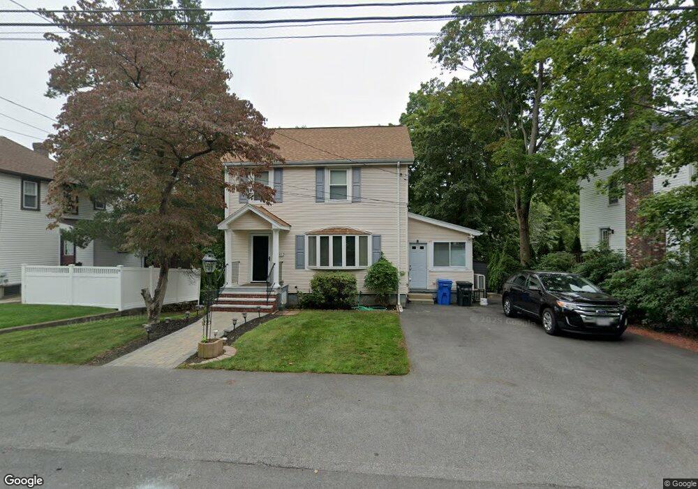
17 Porter Rd Waltham, MA 02452
North Waltham NeighborhoodEstimated Value: $683,000 - $847,000
3
Beds
2
Baths
1,406
Sq Ft
$545/Sq Ft
Est. Value
About This Home
This home is located at 17 Porter Rd, Waltham, MA 02452 and is currently estimated at $766,107, approximately $544 per square foot. 17 Porter Rd is a home located in Middlesex County with nearby schools including Northeast Elementary School, John F Kennedy Middle School, and Waltham Sr High School.
Create a Home Valuation Report for This Property
The Home Valuation Report is an in-depth analysis detailing your home's value as well as a comparison with similar homes in the area
Home Values in the Area
Average Home Value in this Area
Tax History Compared to Growth
Tax History
| Year | Tax Paid | Tax Assessment Tax Assessment Total Assessment is a certain percentage of the fair market value that is determined by local assessors to be the total taxable value of land and additions on the property. | Land | Improvement |
|---|---|---|---|---|
| 2025 | $6,281 | $639,600 | $415,400 | $224,200 |
| 2024 | $5,958 | $618,100 | $396,000 | $222,100 |
| 2023 | $5,799 | $561,900 | $360,000 | $201,900 |
| 2022 | $6,141 | $551,300 | $352,800 | $198,500 |
| 2021 | $19,500 | $526,600 | $338,400 | $188,200 |
| 2020 | $5,940 | $497,100 | $316,800 | $180,300 |
| 2019 | $5,556 | $438,900 | $303,300 | $135,600 |
| 2018 | $5,110 | $405,200 | $280,800 | $124,400 |
| 2017 | $18,603 | $380,000 | $255,600 | $124,400 |
| 2016 | $4,519 | $369,200 | $244,800 | $124,400 |
| 2015 | $4,490 | $342,000 | $219,600 | $122,400 |
Source: Public Records
Map
Nearby Homes
- 45 Chase Rd
- 38 Van Vechten St
- 100 Shirley Rd
- 26 Brookfield Rd
- 9 Stanley Rd
- 51 S Cottage Rd Unit 112
- 70 Rosewood Dr
- 116 Raffaele Dr
- 55 Circle Dr
- 36 Hollace St
- 50 Moraine St
- 23 Wight St
- 266 Linden St
- 51 Harrington St Unit 51
- 51 Harrington St Unit 53
- 236 Sycamore St
- 253 Sycamore St Unit 253
- 34 Cedar Hill Ln
- 1 Bridgham Ave
- 65 Woburn St