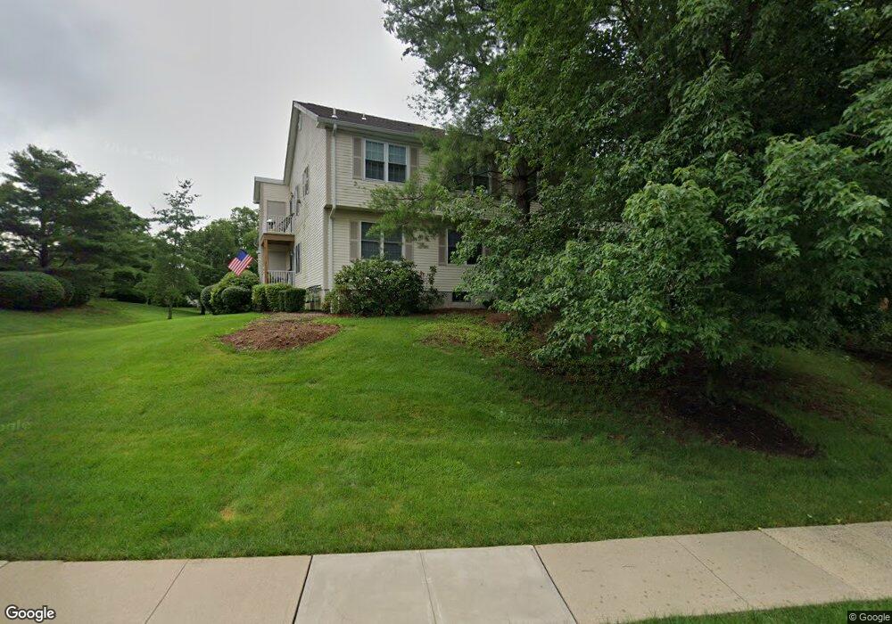
17 Potomac Dr Unit 5 Basking Ridge, NJ 07920
Estimated Value: $389,000 - $424,676
--
Bed
--
Bath
1,000
Sq Ft
$414/Sq Ft
Est. Value
About This Home
This home is located at 17 Potomac Dr Unit 5, Basking Ridge, NJ 07920 and is currently estimated at $414,419, approximately $414 per square foot. 17 Potomac Dr Unit 5 is a home located in Somerset County with nearby schools including Cedar Hill Elementary School, William Annin Middle School, and Ridge High School.
Ownership History
Date
Name
Owned For
Owner Type
Purchase Details
Closed on
May 12, 2010
Sold by
Allen Paul William and The Allen Trust
Bought by
Daniel Thomas
Current Estimated Value
Home Financials for this Owner
Home Financials are based on the most recent Mortgage that was taken out on this home.
Original Mortgage
$150,000
Outstanding Balance
$101,421
Interest Rate
5.23%
Mortgage Type
New Conventional
Estimated Equity
$312,998
Purchase Details
Closed on
Mar 4, 1996
Sold by
Leonard Gerard
Bought by
Allen Alfred and Allen Elva
Purchase Details
Closed on
Feb 24, 1994
Sold by
Hovnanian K
Bought by
Crane Patricia
Create a Home Valuation Report for This Property
The Home Valuation Report is an in-depth analysis detailing your home's value as well as a comparison with similar homes in the area
Home Values in the Area
Average Home Value in this Area
Purchase History
| Date | Buyer | Sale Price | Title Company |
|---|---|---|---|
| Daniel Thomas | $230,000 | None Available | |
| Allen Alfred | $124,440 | -- | |
| Crane Patricia | $121,233 | -- |
Source: Public Records
Mortgage History
| Date | Status | Borrower | Loan Amount |
|---|---|---|---|
| Open | Daniel Thomas | $150,000 |
Source: Public Records
Tax History Compared to Growth
Tax History
| Year | Tax Paid | Tax Assessment Tax Assessment Total Assessment is a certain percentage of the fair market value that is determined by local assessors to be the total taxable value of land and additions on the property. | Land | Improvement |
|---|---|---|---|---|
| 2025 | $6,292 | $372,400 | $140,000 | $232,400 |
| 2024 | $6,292 | $353,700 | $124,000 | $229,700 |
| 2023 | $6,207 | $329,100 | $124,000 | $205,100 |
| 2022 | $5,892 | $293,000 | $120,000 | $173,000 |
| 2021 | $5,518 | $261,500 | $120,000 | $141,500 |
| 2020 | $5,356 | $255,800 | $115,000 | $140,800 |
| 2019 | $5,107 | $251,100 | $125,000 | $126,100 |
| 2018 | $4,952 | $247,000 | $123,000 | $124,000 |
| 2017 | $4,889 | $245,800 | $123,000 | $122,800 |
| 2016 | $4,497 | $230,500 | $123,000 | $107,500 |
| 2015 | $4,489 | $234,300 | $120,000 | $114,300 |
| 2014 | $4,398 | $227,400 | $120,000 | $107,400 |
Source: Public Records
Map
Nearby Homes
- 1 Potomac Dr Condo
- 55 Potomac Dr
- 242 Alexandria Way
- 103 Potomac Dr
- 138 Alexandria Way Condo Unit 138
- 71 Alexandria Way Unit 3
- 168 Potomac Dr Condo Unit 168
- 138 Potomac Dr Condo
- 176 Potomac Dr
- 21 Alexandria Way
- 192 Potomac Dr Condo Unit 192
- 49 Alexandria Way Unit 5
- 23 Hampton Ct
- 2305 Privet Way
- 41 Smithfield Ct Unit 5
- 185 Jamestown Rd
- 95 Jamestown Rd Ondo
- 48 Commonwealth Dr Ondo
- 7 Chestnut Ct
- 227 Arrowood Way
- 18 Potomac Dr Unit 6
- 20 Potomac Dr
- 15 Potomac Dr
- 19 Potomac Dr
- 16 Potomac Dr Unit 4
- 22 Potomac Dr
- 21 Potomac Dr
- 13 Potomac Dr Unit 1
- 14 Potomac Dr Unit 2
- 24 Potomac Dr
- 23 Potomac Dr
- 25 Potomac Dr
- 11 Potomac Dr
- 26 Potomac Dr
- 12 Potomac Dr
- 30 Potomac Dr
- 28 Potomac Dr
- 32 Potomac Dr
- 29 Potomac Dr
- 9 Potomac Dr