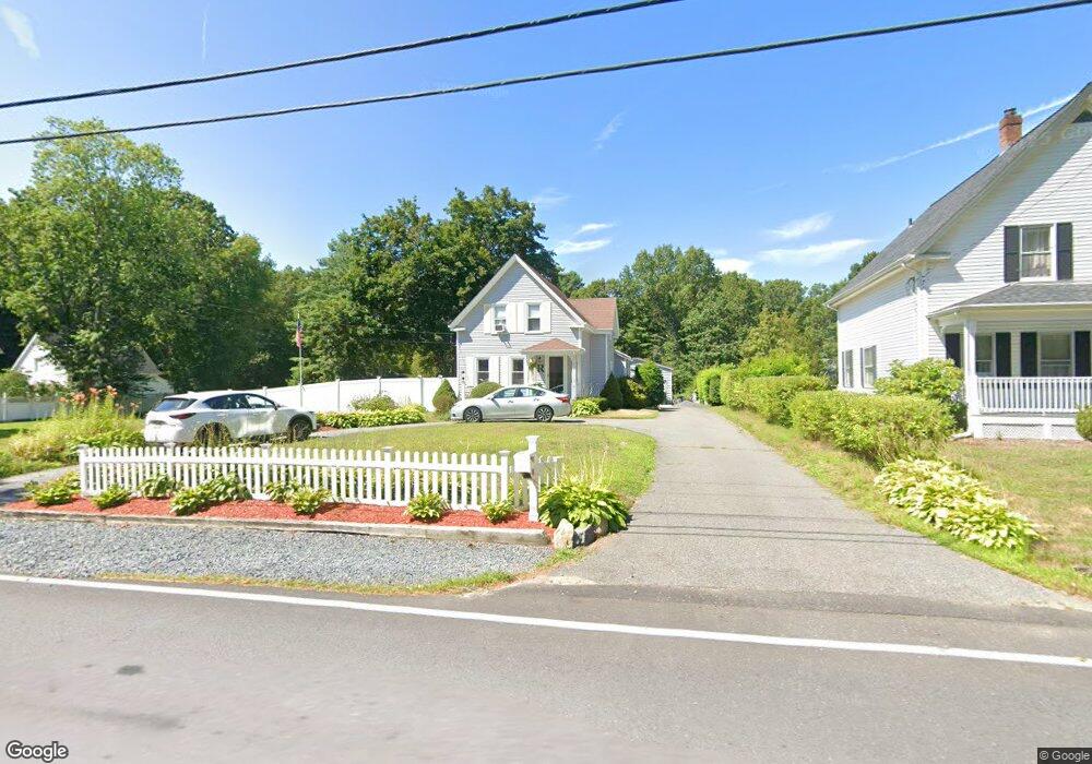
17 Power St Norton, MA 02766
Estimated Value: $519,000 - $548,000
3
Beds
2
Baths
1,281
Sq Ft
$419/Sq Ft
Est. Value
About This Home
This home is located at 17 Power St, Norton, MA 02766 and is currently estimated at $536,200, approximately $418 per square foot. 17 Power St is a home located in Bristol County with nearby schools including J.C. Solmonese Elementary School, Henri A. Yelle Elementary School, and Norton Middle School.
Ownership History
Date
Name
Owned For
Owner Type
Purchase Details
Closed on
May 29, 1997
Sold by
Marchurs Henry T
Bought by
Russell Paul J and Russell Christine
Current Estimated Value
Create a Home Valuation Report for This Property
The Home Valuation Report is an in-depth analysis detailing your home's value as well as a comparison with similar homes in the area
Home Values in the Area
Average Home Value in this Area
Purchase History
| Date | Buyer | Sale Price | Title Company |
|---|---|---|---|
| Russell Paul J | $71,500 | -- |
Source: Public Records
Mortgage History
| Date | Status | Borrower | Loan Amount |
|---|---|---|---|
| Open | Russell Paul J | $240,000 | |
| Closed | Russell Paul J | $246,400 |
Source: Public Records
Tax History Compared to Growth
Tax History
| Year | Tax Paid | Tax Assessment Tax Assessment Total Assessment is a certain percentage of the fair market value that is determined by local assessors to be the total taxable value of land and additions on the property. | Land | Improvement |
|---|---|---|---|---|
| 2025 | $55 | $424,400 | $198,900 | $225,500 |
| 2024 | $5,247 | $405,200 | $189,400 | $215,800 |
| 2023 | $4,976 | $383,100 | $178,600 | $204,500 |
| 2022 | $4,542 | $318,500 | $162,300 | $156,200 |
| 2021 | $4,343 | $290,900 | $154,600 | $136,300 |
| 2020 | $4,182 | $282,600 | $150,100 | $132,500 |
| 2019 | $4,051 | $271,900 | $144,400 | $127,500 |
| 2018 | $1,566 | $261,600 | $144,400 | $117,200 |
| 2017 | $3,889 | $253,000 | $144,400 | $108,600 |
| 2016 | $3,799 | $243,400 | $144,400 | $99,000 |
| 2015 | $3,614 | $234,800 | $138,200 | $96,600 |
| 2014 | $3,440 | $223,800 | $131,600 | $92,200 |
Source: Public Records
Map
Nearby Homes
- 189 W Main St
- 11 Edgewater Dr
- 4 Stephen St
- 145 S Worcester St
- 130 W Main St
- 108 S Worcester St
- 178 S Worcester St
- 16 Park Ln
- 173 S Worcester St
- 98 S Worcester St
- 205 S Worcester St
- 225 S Worcester St Unit 2
- 225 S Worcester St Unit 1
- 200 S Worcester St
- 3 Goff Rd
- 83 W Main St
- 55 Sturdy St
- 182 John Scott Blvd
- 33 Dean St
- 13 Crowe Farm Ln