17 Powers Ridge Rd Weaverville, NC 28787
Estimated Value: $579,000 - $915,000
3
Beds
4
Baths
1,790
Sq Ft
$408/Sq Ft
Est. Value
About This Home
This home is located at 17 Powers Ridge Rd, Weaverville, NC 28787 and is currently estimated at $730,725, approximately $408 per square foot. 17 Powers Ridge Rd is a home with nearby schools including North Buncombe Elementary School, North Windy Ridge School, and North Buncombe Middle.
Ownership History
Date
Name
Owned For
Owner Type
Purchase Details
Closed on
Feb 15, 2018
Sold by
Powers Gena C and Villemagne Timothy S
Bought by
Powers Gena C and Villemagne Timothy S
Current Estimated Value
Home Financials for this Owner
Home Financials are based on the most recent Mortgage that was taken out on this home.
Original Mortgage
$268,000
Outstanding Balance
$226,972
Interest Rate
3.99%
Mortgage Type
New Conventional
Estimated Equity
$503,753
Purchase Details
Closed on
Mar 30, 2007
Sold by
Shiver Sheri P
Bought by
Powers Gena C
Create a Home Valuation Report for This Property
The Home Valuation Report is an in-depth analysis detailing your home's value as well as a comparison with similar homes in the area
Home Values in the Area
Average Home Value in this Area
Purchase History
| Date | Buyer | Sale Price | Title Company |
|---|---|---|---|
| Powers Gena C | -- | None Available | |
| Powers Gena C | -- | None Available |
Source: Public Records
Mortgage History
| Date | Status | Borrower | Loan Amount |
|---|---|---|---|
| Open | Powers Gena C | $268,000 |
Source: Public Records
Tax History Compared to Growth
Tax History
| Year | Tax Paid | Tax Assessment Tax Assessment Total Assessment is a certain percentage of the fair market value that is determined by local assessors to be the total taxable value of land and additions on the property. | Land | Improvement |
|---|---|---|---|---|
| 2025 | $3,281 | $512,400 | $26,100 | $486,300 |
| 2024 | $3,281 | $512,400 | $41,100 | $471,300 |
| 2023 | $3,281 | $512,400 | $41,100 | $471,300 |
| 2022 | $3,052 | $512,400 | $0 | $0 |
| 2021 | $3,052 | $512,400 | $0 | $0 |
| 2020 | $2,496 | $384,600 | $0 | $0 |
| 2019 | $2,496 | $384,600 | $0 | $0 |
| 2018 | $2,496 | $384,600 | $0 | $0 |
| 2017 | $140 | $0 | $0 | $0 |
Source: Public Records
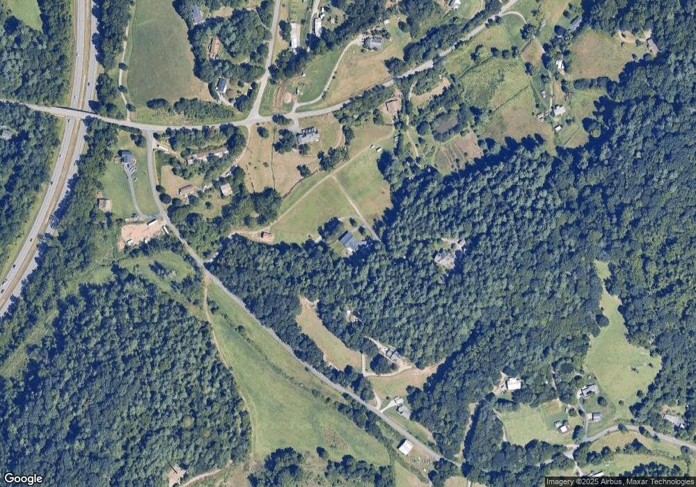
Map
Nearby Homes
- 8 Rose Briar Cir
- 219 Old Mars Hill Hwy
- 209 Old Mars Hill Hwy
- 201 Murphy Hill Rd
- 3 Pleasant View Dr
- 15 Gaddy Rd
- 40 Doan Rd
- 90 Kentwood Dr
- 14 Red Maple Dr
- 114 Chapel Crossing Ln Unit 12
- 109 Southwood Dr
- 116 Chapel Crossing Ln Unit 11
- 8 Maltese Ln
- 115 Chapel Crossing Ln Unit 2
- 198 Double Brook Dr
- 1 Clarks Chapel Ridge Rd
- 42 Anna Glenn Ln
- 160 Mclean Rd
- 99999 Barnardsville Hwy Unit 121
- 99999 Barnardsville Hwy
- 81 Upper Flat Creek Rd
- 24 Powers Ridge Rd
- 71 Upper Flat Creek Rd
- 0 King Rd Unit 1-7 3416826
- 0 King Rd Unit NCM484649
- 000 King Rd
- 0 King Rd Unit NCM545044
- 0 King Rd Unit 3183424
- 0 King Rd Unit 1,2,3,4,5,6 3188296
- 0 King Rd Unit 1-7
- 0 King Rd Unit Tract 7 3668431
- 0 King Rd Unit 3668431
- 10 Brank Cove Rd
- 78 Upper Flat Creek Rd
- 2 King Rd
- 11 Paw Nannys Way
- 94 Brank Cove Rd
- 6 King Rd
- 1 Brank Cove Rd
- 22 King Rd