17 Raymond Ct Georgetown, MA 01833
Estimated Value: $756,198 - $852,000
2
Beds
3
Baths
3,344
Sq Ft
$236/Sq Ft
Est. Value
About This Home
This home is located at 17 Raymond Ct, Georgetown, MA 01833 and is currently estimated at $788,300, approximately $235 per square foot. 17 Raymond Ct is a home located in Essex County with nearby schools including Perley Elementary School, Penn Brook School, and Georgetown High School.
Ownership History
Date
Name
Owned For
Owner Type
Purchase Details
Closed on
Feb 29, 2024
Sold by
Gillis Diana R
Bought by
Rose 2024 Irt and Gillis
Current Estimated Value
Purchase Details
Closed on
May 26, 2023
Sold by
Marston Street Llc
Bought by
Gillis Diana R
Home Financials for this Owner
Home Financials are based on the most recent Mortgage that was taken out on this home.
Original Mortgage
$580,500
Interest Rate
4.63%
Mortgage Type
Purchase Money Mortgage
Purchase Details
Closed on
Dec 27, 2017
Sold by
Gillis Kevin C and Gillis Laura E
Bought by
Marston Street Llc
Purchase Details
Closed on
Mar 11, 2015
Sold by
Malvern T T and Malvern Hafferty
Bought by
Jean M Haggerty Ret and Haggerty
Purchase Details
Closed on
Apr 4, 2006
Sold by
Malvern T T and Malvern Haggerty
Bought by
Haggerty Jean M
Home Financials for this Owner
Home Financials are based on the most recent Mortgage that was taken out on this home.
Original Mortgage
$360,000
Interest Rate
6.32%
Mortgage Type
Purchase Money Mortgage
Create a Home Valuation Report for This Property
The Home Valuation Report is an in-depth analysis detailing your home's value as well as a comparison with similar homes in the area
Home Values in the Area
Average Home Value in this Area
Purchase History
| Date | Buyer | Sale Price | Title Company |
|---|---|---|---|
| Rose 2024 Irt | -- | None Available | |
| Gillis Diana R | $645,000 | None Available | |
| Marston Street Llc | -- | -- | |
| Jean M Haggerty Ret | -- | -- | |
| Haggerty Jean M | -- | -- |
Source: Public Records
Mortgage History
| Date | Status | Borrower | Loan Amount |
|---|---|---|---|
| Previous Owner | Gillis Diana R | $580,500 | |
| Previous Owner | Haggerty Jean M | $360,000 |
Source: Public Records
Tax History
| Year | Tax Paid | Tax Assessment Tax Assessment Total Assessment is a certain percentage of the fair market value that is determined by local assessors to be the total taxable value of land and additions on the property. | Land | Improvement |
|---|---|---|---|---|
| 2025 | $7,396 | $668,700 | $0 | $668,700 |
| 2024 | $7,890 | $628,700 | $0 | $628,700 |
| 2023 | $8,125 | $626,000 | $0 | $626,000 |
| 2022 | $7,443 | $528,600 | $0 | $528,600 |
| 2021 | $8,399 | $528,600 | $0 | $528,600 |
| 2020 | $7,759 | $487,400 | $0 | $487,400 |
| 2019 | $7,691 | $487,400 | $0 | $487,400 |
| 2018 | $7,740 | $487,400 | $0 | $487,400 |
| 2017 | $6,849 | $422,500 | $0 | $422,500 |
| 2016 | $6,281 | $395,800 | $0 | $395,800 |
| 2015 | $6,167 | $384,700 | $0 | $384,700 |
| 2014 | $5,405 | $384,700 | $0 | $384,700 |
Source: Public Records
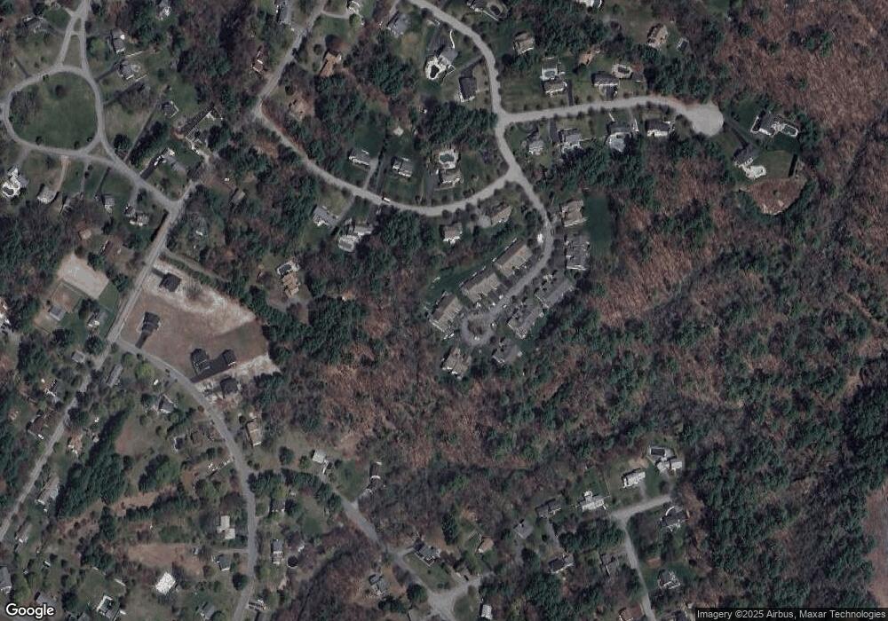
Map
Nearby Homes
- 12 Warren St
- 30 Christa Dr
- 22 Taylor Ln
- 12 Birch Ln
- 304-312 Wethersfield St
- 308 & 312 Wethersfield St
- 66 Parish Rd Unit 8
- 76-78 Daniels Rd
- 459 North St
- 11 Main St
- 13 Main St
- Lot 6 Osprey Ct
- 1 Osprey Ct
- 34 Central St
- 304 & 480 Wethersfield St & Nbpt Tnpk
- 460 - 472 Newburyport Turnpike
- 480 Newburyport Turnpike
- 36 Caldwell Farm Rd
- 22 Tenney St
- 601 Newburyport Turnpike
- 18 Raymond Ct
- 16 Raymond Ct
- 17 Raymond Ct Unit 17
- 21 Raymond Ct
- 20 Raymond Ct
- 19 Raymond Ct
- 21 Raymond Ct Unit 21
- 15 Raymond Ct
- 14 Raymond Ct
- 13 Raymond Ct
- 12 Raymond Ct
- 6 Sage Rd
- 11 Raymond Ct
- 10 Raymond Ct
- 9 Raymond Ct
- 10 Raymond Ct Unit U10
- 11 Raymond Ct Unit 4
- 24 Raymond Ct
- 23 Raymond Ct
- 22 Raymond Ct
Your Personal Tour Guide
Ask me questions while you tour the home.